A Citizen Science Initiative in British Columbia Works to Reduce Roadkill
Drivers are logging wildlife crossings to help identify hot spots
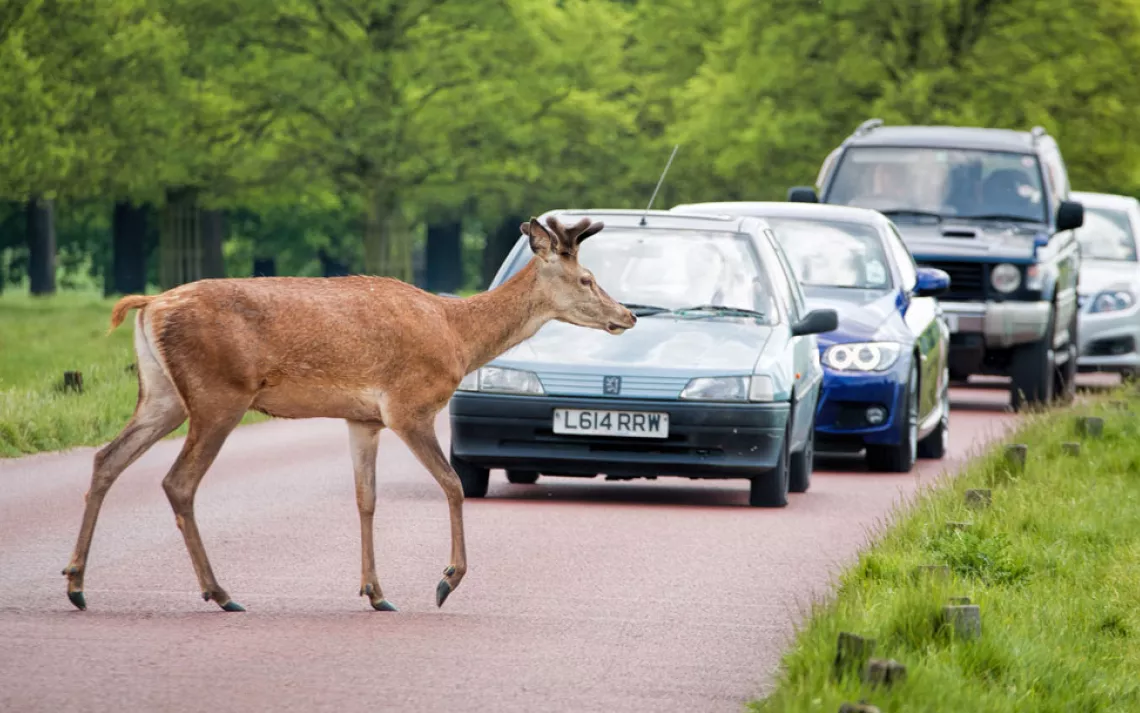
Photo by joegolby/iStock
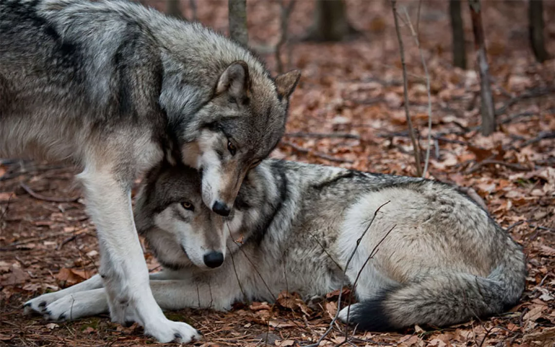
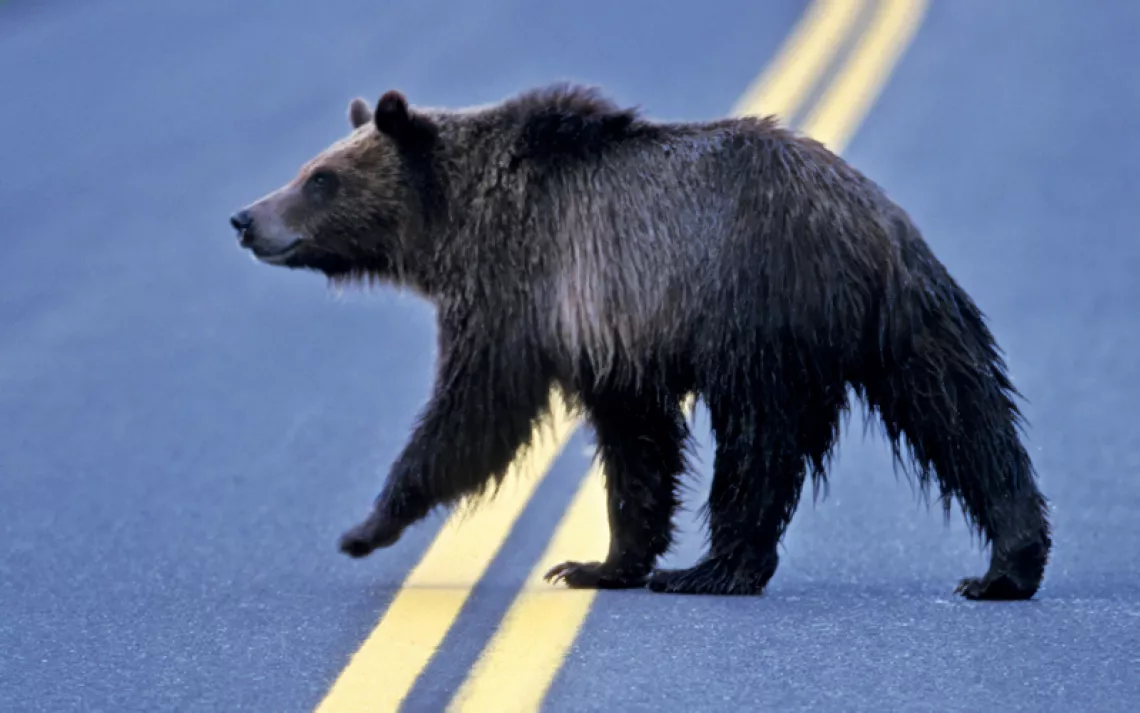
We’ve all had the experience of spotting gruesome roadkill while whizzing by in our cars. Vehicle-animal collisions are particularly common in the Elk Valley region of southeastern British Columbia. Deer, elk, and bighorn sheep all frequent the roadways. Transportation officials have not done much to minimize the problem other than add a few flashing lights here and there to warn motorists. But now four organizations—Miistakis Institute, Wildsight, Western Transportation Institute, and Yellowstone to Yukon Conservation Initiative—have joined forces to create RoadWatchBC, a citizen science project whose goal is to pinpoint locations where wildlife crossings are most common and implement highway mitigation to avoid collisions.
At the heart of RoadWatchBC is an iPhone/Android app and online mapping tool. When travelers in the region see animals crossing the road, they can use the app to log relevant data, like type of animal and time and location of the crossing. RoadWatchBC emphasizes that passengers are meant to use the app, not drivers, while on the road. But solo drivers, as well as those without smartphones, can record data once they’re done driving by going to RoadWatchBC’s website and using the mapping tool to mark where they saw an animal. Users can also see the locations that other drivers have entered.
The app includes a unique routing function: “If someone regularly travels along a section of road—for example, from Fernie to Sparwood—they can message info@roadwatchbc.ca to tell us this,” project lead Beth Millions told Sierra. “Then, when they are leaving one location, they will hit ‘start route’ and carry on their way. Any wildlife observations they make along the route they can report as usual, and at the end of the trip they select ‘end route.’” The benefit of this function is that “it allows us to collect data on when people don't see wildlife as well as when they do,” Millions explained.
In order to promote the app and mapping tool, RoadWatchBC has held events at farmers' markets and at a local family safety day. They have even hosted a film screening of Highway Wilding, a documentary about wildlife crossings, and Millions holds “office-hour” events at cafes where community members can show up to ask questions and get information about the project. Overall, the community response has been positive. Even though the app and mapping tool just launched about five months ago, 300 or more people are already using them to report wildlife crossings.
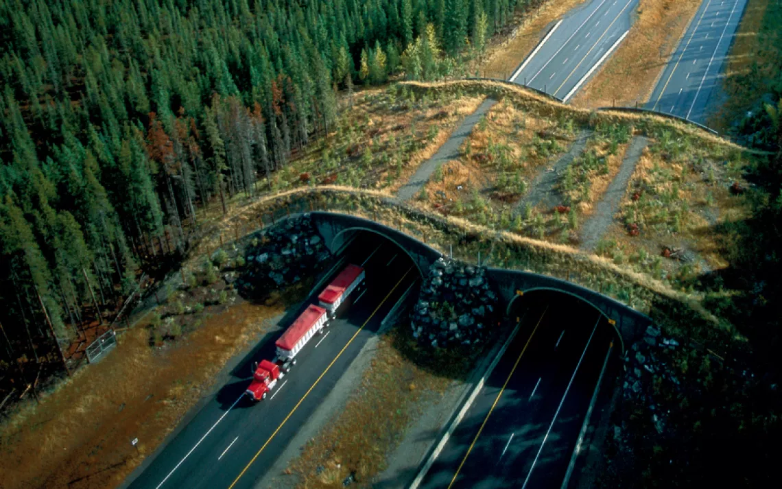
The RoadWatchBC team plans to share the information they gather with government officials at the Ministry of Transportation and Infrastructure (MOTI) and Ministry of Forest Land and Natural Resource Operations (FLNRO) in hopes that it will lead to better strategies for avoiding collisions. According to Millions, the RoadWatchBC team would specifically like to see new underpasses and overpasses constructed on roadways in wildlife hot spots.
As interest in the app and online mapping tool grows, the team hopes the project will expand beyond southeast British Columbia. “Wildlife crossings are a big problem all across BC,” Millions says. “People think this is just an issue they have to deal with, but it can be mitigated.”