The "Big Science" Behind Climate Change
How one researcher uses satellite data to track deforestation
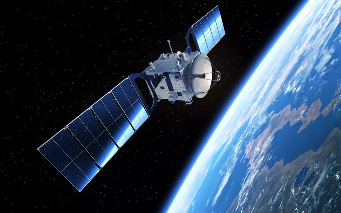
Photo by 3DSculptor/iStock
“Big data”—the massive data sets that have become easier to create and interpret as computing power and storage have increased—has had a huge effect on the way the advertising, insurance, and finance industries do business. But can big data solve larger societal issues? Some scientists believe that it will be a valuable tool in climate change mitigation and adaptation, but the University of Minnesota’s Vipin Kumar, PhD, believes it can also help slow down climate change in the here and now.
Since 2010, this computer scientist and his grad students have been using satellite data to create maps showing where and how forests in Indonesia are being burned down and converted into palm oil plantations. Palm oil is found in about half of all household products—cleaning agents, detergents, toothpaste, cosmetics, shampoo, and more—used in the developing world and has become a common ingredient in American snack foods as trans fats have fallen out of favor. Palm fruit needs a lot of heat and rainfall, and so rainforests throughout Africa, Asia, and the Americas have been cleared to make room for it.
Eighty-five percent of all palm oil is exported from Indonesia and Malaysia, and most of the time, it’s produced in a far-from-sustainable manner. The palm oil industry is linked to deforestation; habitat degradation (thousands of Indonesian orangutans each year are killed for palm oil plantation development, and a third of all mammal species in the rainforest are now considered critically endangered); indigenous rights abuses (deforestation displaces thousands of people who call the forests home); and climate change (when the rainforest burns, it emits immense quantities of greenhouse-gas-trapping carbon into the atmosphere).
Deforestation is a notoriously under-regulated endeavor. The data gathered by Kumar and his students can show where and how forests are being removed and converted into palm oil plantations, and ultimately provide a resource for companies (and their customers) to verify that they are buying from farms that aren’t complicit in deforestation.
Sierra recently caught up with Kumar to learn more about deforestation and about the role that big data can play in keeping palm oil honest.
Sierra: Can you explain why it’s so crucial to focus on food-supply-chain solutions?
Dr. Vipin Kumar: Because of all the improvements we’ve seen in health and civilization and medicine and food production, people can live longer and eat better. The population went from a billion one hundred plus years ago to 6 million at the millennium and could soon go up to well over 10 billion, depending on how it continues to increase. Simply put, there are more people who need to eat. And much more importantly, the people who are impoverished and not eating well need to eat better. Because of rising income and changing food habits in the developing world, demand for food is going to be much larger.
And on top of that, more than half of the tropical forests have been deforested. These forests help maintain biodiversity and regulate the climate, but we also rely heavily on them for food production. So, how then do we expect to feed this growing population?
Is food production the main reason for all this deforestation?
It’s the biggest right now, but there are many factors. In the past 15 to 16 years, the planet has warmed a lot, and there was a misplaced enchantment with biofuels such as palm oil as an alternative to fossil fuels—which was a major factor in deforestation in many parts of the world. For example, increased farming for corn in place of soybeans to produce ethanol in the Midwest—especially around 2007 and 2008, when U.S. gas prices nearly doubled—is considered partly responsible for the growth of large-scale soybean plantations in Brazil.
Something similar had happened about a decade prior, when sugarcane ethanol was seen as a solution and people started harvesting cane in Brazil’s Amazon rainforests. These biofuel crops led to deforestation in the tropics and thus, increased carbon emissions.
So where does big data come in?
We’re able to use data from the satellites to show a history of those locations that have become deforested. Manual inspection of satellite data sets has been used to identify land cover changes in small regions for as long as the first Earth-observing satellite went up 40 years ago. But thanks to modern data-processing tools, we can now automatically determine a variety of land-cover changes; e.g., those swaths of land that have been converted by fires into palm oil plantations.
Wow. How does that work?
You can figure out who overreached their permits. Many palm oil planters had permission to start a plantation in a specified area, but some of them chose to burn the trees rather than cutting them and hauling away the wood, since doing so is so much cheaper. In the process, they often burned a lot more forest than was needed, since once you start a fire, it’s difficult to control. With data from the satellites, you can figure out who’s doing this, where it’s happening, and monitor the crime accordingly. While manually (or semiautomatically) created plantation maps exist, they are available only for certain years, and are often incomplete and inaccurate—they might refer to an area as a plantation that was not in fact a plantation.
So how are you improving on it?
We’re developing methodologies to monitor the state of the ecosystem—technologies that give us more insight into what’s happening to the forest. We’re tracking forests in Southeast Asia and South America, scrutinizing data to determine how they’re interacting with other food requirements, and whether they’re being used in a sustainable way. Going forward, we’re especially concerned about Africa, since the population boom is expected to be huge there—we need to have these mechanisms in place soon.
So what do you plan to do with all this information?
The idea is to map the deforestation and then let corporations such as, say, Cargil, Nestle, or Kraft know who they’re buying from, and also show who’s supplying their competition. Anyone can claim sustainable practices; this will allow them to monitor and pressure their suppliers directly.
But as of right now, the research is still in progress, in academia. Once we complete our paper and get it peer-reviewed, our next goal is to create a website showing these satellite images that anyone can access. Then it can help corporations and consumers make more sustainable choices when it comes to food and products.
How do you keep track of who has title to the land you're monitoring, and of what companies are buying from farmers in which areas?
The data we produce comes with geo coordinates (latitude and longitude). Hence, anyone can use that information to pinpoint the exact location on the map and, using local records, determine the ownership of that land.
Is there any precedent for this type of project?
Yes, in 2003 our group was the first to produce a global history of large-scale natural disasters like avalanches and forest fires—anything that caused destruction of trees and green material. We’d catch that using satellite data. We’ve also had success monitoring surface-water bodies on a global scale. For instance, our maps increasingly show that a lot of glacier-fed lakes in Tibet are growing because the glaciers have been melting over the past few decades due to global warming. This is scary, because these glaciers feed major rivers in China, India, Bangladesh, and Indochina, and the melting of these glaciers means their water won’t be available down the line to the more than 2 billion people served by these bodies of water. Even now, these growing glacial lakes can create environmental hazards, because as the glaciers melt, they fill lakes’ bowls to the point that they break, potentially washing away entire villages and killing people. So far, a lot of evidence about the growth of glacial lakes has been anecdotal, but we’re monitoring data to track these lakes on a daily basis so as to provide empirical evidence that more research and funding need to go toward addressing this.
So there are plenty of climate-change-related applications of big data.
Absolutely. This field holds great promise for increasing our understanding of the earth’s overall climate and environment, and how they’re being impacted by human actions. The big data methods we’re developing to address ecosystem management can be used in a range of domains including epidemiology, geospatial intelligence, neuroscience—the list goes on.
 The Magazine of The Sierra Club

