NASA Project Helps Researchers Understand How the Arctic Is Responding to Climate Change
Data from the Arctic-Boreal Vulnerability Experiment could help inform future policy and conservation measures for northern latitudes
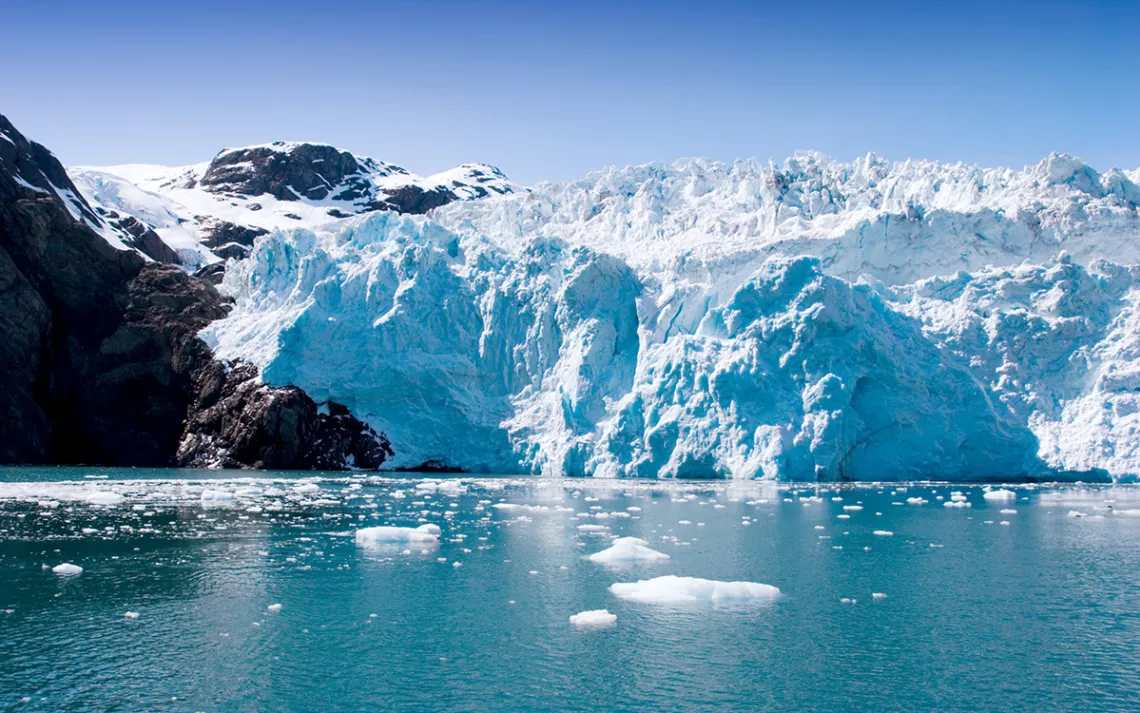
Hubbard Glacier in Seward, Alaska. |Photo by MaxFX/iStock
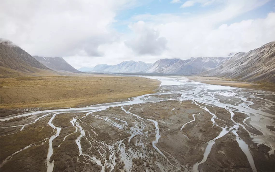
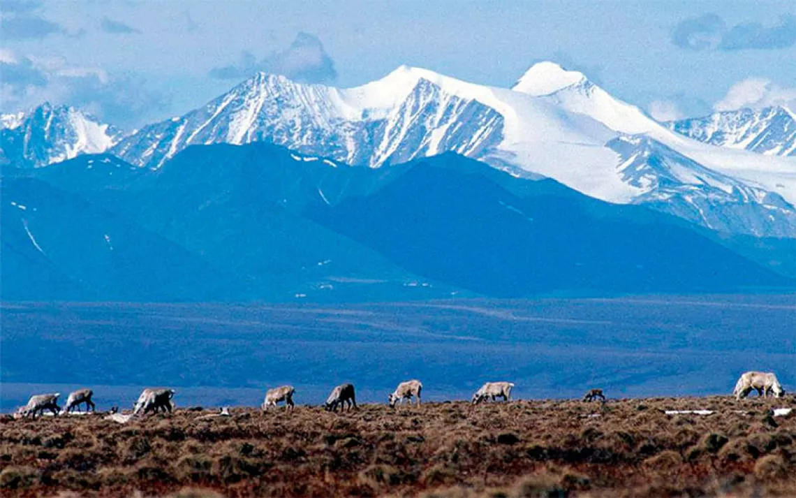
The north reveals climate change like few other places. Buildings destabilized by thawing permafrost, ice from winter rains that prevents caribou from foraging, and eroding coastlines that threaten to send whole towns into the sea—these have become staples of the Arctic and the boreal forest that encircles it.
This region encompasses a swath of vegetation stretching millions of square miles, making it a major player when it comes to terrestrial carbon dynamics. The boreal forest stores at least a quarter of the live carbon in Earth’s forests, and the permafrost beneath the Arctic-Boreal ecosystem stores up to 60 percent of the planet’s soil carbon. If these greenhouse gases were released, it would be equivalent to several times the annual carbon emissions of the top 10 greenhouse-gas-emitting countries combined.
In the Arctic, there are huge unknowns about how the ecosystem is going to respond to climate change. Without robust data, past attempts to model how the region will change have been “like this giant game of Twister, and everyone’s falling over each other,” said Joshua Fisher, a climate scientist from Chapman University.
In 2015, NASA launched a 10-year initiative called the Arctic-Boreal Vulnerability Experiment, or ABoVE, to demystify how climate change is altering an area ranging across Alaska and much of northern Canada. The project brought together an interdisciplinary team of scientists who have spent the last eight years using everything from satellite images to soil samples to assess how the area is changing. Now starting its ninth year, ABoVE is entering the synthesis phase, during which modelers will tie together all the results of hundreds of experiments into a take-home message.
Their findings come at a critical time, said Sasha Reed, a biogeochemist from the US Geological Survey. Climate change is starting to alter daily life for people in affected areas—including land managers, policymakers, and residents—and they are all looking for information about what’s to come and how they might adapt. Providing answers requires a multifaceted approach that a large, manifold team like ABoVE is best equipped for, said Reed, who’s leading one of two projects that may succeed ABoVE. NASA is one of only a few organizations with the capacity to create such projects, so they don’t come along very often. “It would be fantastic if we could have more,” she added.
NASA’s research in the Arctic started in the Amazon. In the 1990s, researchers began shifting toward funding long-term projects looking at the effects of landscape-level change on carbon storage. One of the first such endeavors was the Large-Scale Biosphere-Atmosphere Experiment in Amazonia, or LBA. Led by the Brazilian Ministry of Science and Technology in collaboration with NASA and other international groups, LBA was a multiyear mission to measure how certain human influences were altering the function of the Amazon rainforest.
Up to that point, most NASA field campaigns had lasted only a season, or perhaps a year at the most, said Diane Wickland, a now-retired NASA program manager. “Sometimes that was more than enough to make headway,” she added. But for ecosystems like the tropics, where weather systems like El Niño and La Niña bring lots of year-to-year variability, Wickland thought scientists needed longer-term measurements to understand how they were changing. When LBA wrapped up, its success motivated NASA to solicit proposals for the next long-term field campaign.
Climate change was causing sweeping changes in Arctic and boreal regions, to the point that some scientists had mused that the boreal forest might shift into a completely new ecosystem, like perhaps a grassland. At the same time, thawing permafrost and wildfires were both poised to substantially alter levels of carbon dioxide in the atmosphere. “So that’s why we suggested ABoVE,” said remote sensing expert Scott Goetz, who studies terrestrial ecosystems at Northern Arizona University and has been the science lead for the project since its inception. Today, with over 1,000 scientists working on over 150 projects, he said it’s fair to say ABoVE has become the largest NASA field campaign of its kind to date.
The stresses the Arctic-Boreal region faces are weighty and plentiful. Fire, for example, has churned through the forest in recent years, displacing people and wildlife and sending smoke as far south as Florida. Even the Arctic tundra, where fire is less common than in the boreal forest, is burning more often. Winter rain events are also increasingly common. When rain hits snow-covered regions, it can cause the soil to become waterlogged, damaging trees and thawing permafrost. Rain can also breed fungal pathogens that disrupt the flow of water and nutrients to trees, slowly killing them. Larger organisms can decimate stands of trees at an even faster rate. Insect outbreaks have, at times, caused greater vegetation loss than fire. With temperatures rising, some insects are spreading northward and infecting plants they would have typically avoided. The ever-expanding range of several beetle species is a case in point. Many of them, such as the bark beetle, are now found higher in latitude and have wreaked havoc on stands of trees that used to be out of reach for much of the year.
Prior to ABoVE, scientists often had trouble getting enough on-the-ground measurements to understand forces like these in more than a localized area, said Earth scientist Claire Treat from the Alfred Wegener Institute, who is not part of ABoVE but has collaborated with several members. Satellite imagery can reveal a much larger area, but when it comes to permafrost thaw and greenhouse gas emissions, scientists are still figuring out how to connect the patterns they see from satellites with what’s happening on the ground.
ABoVE scientists alleviated this problem by using measurements taken from NASA jets to bridge the gap between granular, on-the-ground measurements and broad-ranging satellite images. An instrument mounted on the jets, called an Airborne Visible/Infrared Imaging Spectrometer (AVIRIS), measures the wavelengths of light reflected by the surface of the planet. This gives scientists information about the composition of the vegetation and other materials in the region. Because these measurements are broad-reaching but also detailed, ABoVE “really managed to do things across scales in a way that no one else can do,” Treat said.
Over the next two years, Fisher and other modelers will be integrating the reams of data other ABoVE scientists have collected, trying to distill it into a take-home message about how the Arctic-Boreal region will react to climate change. It’s too early to know the results, but a recent study of the ABoVE research area indicates that the boreal forest will start to weaken as a carbon sink between 2050 and 2080.
As powerful as ABoVE is, it addresses just one of many ways climate change will impact the planet. “The biggest feedback—which we don’t understand at all—are clouds,” said Timothy Palmer, a weather and climate physicist at the University of Oxford who is not involved in ABoVE. Some types of clouds block sunlight and cool Earth, while others trap heat and warm the planet. Where the balance will lie is currently unclear. Palmer also cited the computational power required to model climate change as a major stumbling block—most climate scientists only have limited access to the top-range supercomputers needed to synthesize so much data.
ABoVE Arctic ecologist Sue Natali from the Woodwell Climate Research Center agreed that access to computing power is a major limitation in climate science, as well as funding for modeling—a discipline that can sometimes fall through the cracks in the scientific funding structure.
But ABoVE has excelled at a different type of synthesis: building community within climate science. Researchers who use different techniques, such as taking measurements in the field or focusing on satellite images, “tend to be in different spaces,” Natali said. But even in the early phases of ABoVE, scientists worked across disciplines. The focus on community extends to people living in affected areas, said Kimberley Miner, an ABoVE climate scientist from the NASA Jet Propulsion Laboratory. Collecting data from an airplane has helped because it makes ABoVE so portable. “You can stop at an airport, you can do outreach to the local communities, you can talk to the school kids,” she added.
Not many groups have the funding and equipment necessary to support a project like ABoVE—Wickland cited the National Oceanic and Atmospheric Administration and the National Science Foundation, as well as the European and Japanese Space Agencies. Reed would add the Department of Energy. That means that large-scale field campaigns will likely remain rare for the time being. But when they do occur, Reed said, they can be “transformational in our understanding of ecosystems and how they’re responding to change.”