City Letting Developers Dodge Tree Rules
A recent exposé in the Express-News ('Everything was there and then it wasn't': Developers allowed to skirt tree ordinance; Jan. 22, 2021) makes it clear the City cannot be trusted to enforce the tree preservation ordinance. In his story, reporter Brian Chasnoff revealed that exceptions to tree preservation rules are given away like candy by the Development Services Department (DSD).
Over the past 2 years, developers asked for 206 variances from the tree ordinance, and DSD granted every one of them. One housing developer near Government Canyon SNA was allowed to destroy 91% of the “significant trees”. And the City has granted four additional variances for the same project.
An apartment developer was allowed to completely clear-cut their site. In another case, developers of a 68-acre subdivision were allowed to bulldoze 99% of the “significant trees” and all of the heritage trees. Notwithstanding CPS and SAWS, I don't think there's ever been a better example of regulatory capture.
It’s even worse than you think
While the above examples are disturbing, the actual percentages of trees destroyed are far greater than indicated. That’s because about 1/3 of the land in a typical residential subdivision is exempt from the tree ordinance. Any land used for streets or utility easements is excluded from the ordinance and trees in those areas do not exist, insofar as the tree ordinance is concerned.
So right off the bat, 1/3 of the trees on a site can be destroyed before the counting even starts. Add to that another 15% for trees that are too small to be counted.
Developers are allowed to remove 80% of what’s left over after applying the various exclusions and exemptions. Doing the math, it means that about 90% of the trees in a residential subdivision can be removed without a variance.
These variances violate the tree ordinance
Based on the E-N reporting, I can only conclude DSD is violating the criteria established for variances. These criteria require any variance to:
- uphold the public interest,
- be in harmony with the spirit and purpose of the ordinance, and
- not substantially weaken the regulations for protection of trees.
What is the “purpose” of the ordinance? Inarguably, it is preservation of existing trees. In its “Statement of Purpose”, preservation of existing trees is stipulated six times.
City Council must rein in DSD
In a follow up story, Mr. Chasnoff notes that the City Manager has ordered a monthly report on variances from DSD. This is not enough.
City Council should put an immediate stop to these giveaways and establish a citizens committee to review developers’ variance requests. Councilman Courage said he wants community input before a variance is approved. I agree and believe the citizens panel is an appropriate venue for timely review of variance requests.
I encourage all Sierrans to contact their city councilperson and:
- Tell them you're unhappy with the variances being given away by DSD
- Demand that DSD stop granting every variance developers request
- Ask that any requests be reviewed by a citizens committee before they are approved.
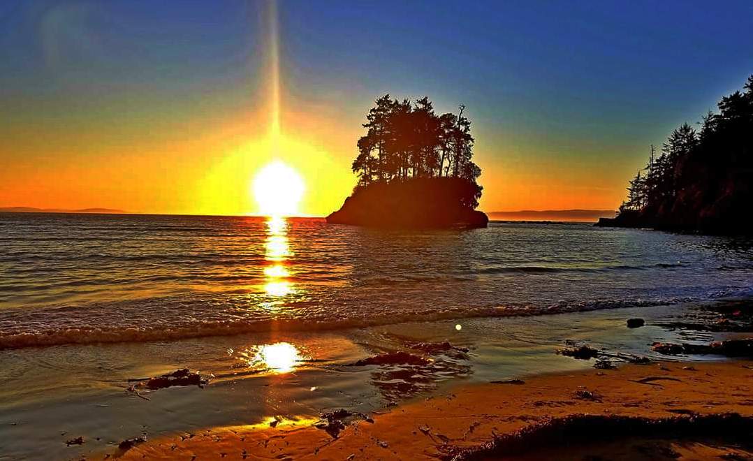
Olympic National Park — Pacific Coast Beaches
In this park there are different ecosystems: rain forest, coastal, mountains and rivers/lakes. This article is about the coast. In the August 2020 issue of this newsletter there was an article about the rain forests. Here is the park's website and maps page.
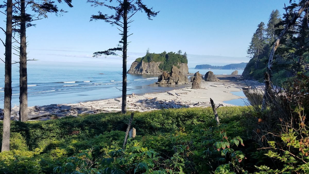
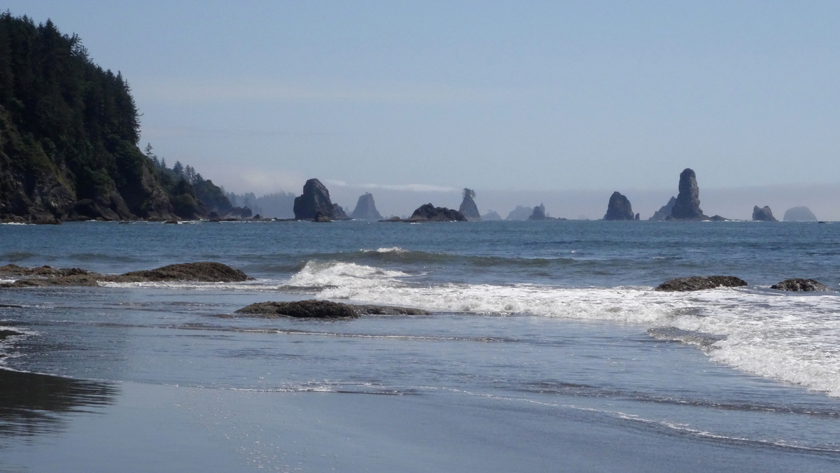
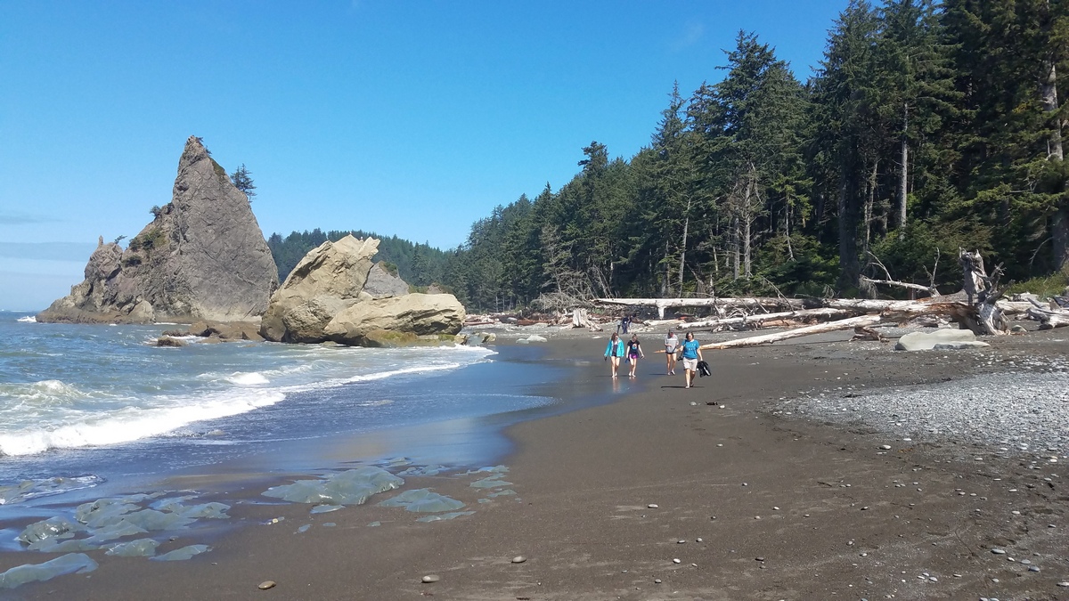
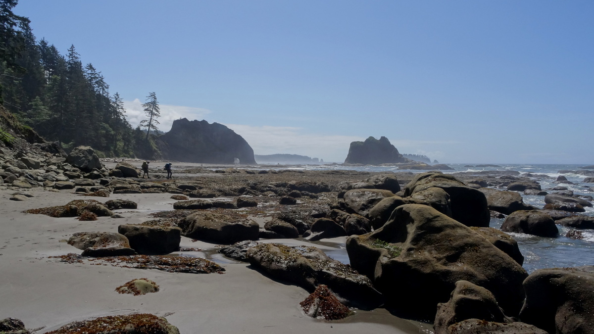
Driving north on US 101 we drive past the national park entrances into the Quinault and Queets rivers rain forests. Then US 101 goes along the coast past Kalaloch, with a campground and visitor center, and a bunch of beaches including Ruby (first picture below). After Ruby US 101 turns inland. After the Upper Hoh Road turnoff on US 101 for the Hoh Rain Forest we can drive west to Mora and La Push. From the road to La Push there is access to First, Second and Third (2nd picture below) beaches. At Mora there is an NPS campground and access to Rialto Beach (3rd-5th pictures below). Further north on US 101 we can detour northwest to Ozette, with an NPS campground.
Outdoor Project has a pile of good guides and maps for Olympic. On the Olympic coast overview page there is a link to the Ruby Beach page with a nice map of the coast between the Queets and Hoh rivers, including Kalaloch.
Here's an OP guide for Rialto Beach with a map of the coast from La Push/Mora north to Ozette. From Ozette there is a triangular loop trail across Ahlstrom's Prairie (NPS study, PDF) and along the coast, with a little detour north to Cape Alava (another OP guide).
In the February 2020 issue of this newsletter there were a couple pictures at Cape Alava, which is the westernmost point in the lower 48 states. Cape Alava is the western terminus of the Pacific Northwest Trail (PNT). On the PNT Association website maps page there is a picture of Tskawahyah Island from Cape Alava, the same vista as a picture in the above-mentioned issue.
After studying the park maps and the OP guides we've got a trip waiting in our heads!
Tell Young Life to Halt Plans to Discharge Wastewater into One of Texas' Last Pure Rivers
Opposition continues to build against the Young Life Wastewater Permit application. Take a moment to help us spread the word about this critical issue with everyone you know and ask them to sign the petition---please share a link to it via email, Facebook, etc.
Also, check out this editorial in the local paper opposing the Young Life plans. Uvalde Leader News: Editorial: Rivers are lifeblood of region. Thanks very much for your help and support—you are making a difference!
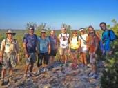
Outings: The Call of the Wild
Visit the Alamo Sierra Club Outings page on Meetup for detailed information about all of our upcoming Sierra Club Outings.
The Alamo Sierran Newsletter
Richard Alles, Editor
Published by The Alamo Group of the Sierra Club, P.O. Box 6443, San Antonio, TX 78209, AlamoSierraClub.org.
The Alamo Group is one of 13 regional groups within the Lone Star Chapter of the Sierra Club.
Changed your contact information?
If you're not sure whether the Sierra Club has your current email address, send an email to Member Services with your name and address and/or member ID (see Locating Your Member ID) so they can add your email address to your member record.
Have you moved? Let us know by sending your old address, your new address and your member ID to: address.changes@sierraclub.org.
Go online for the latest news and events
 |