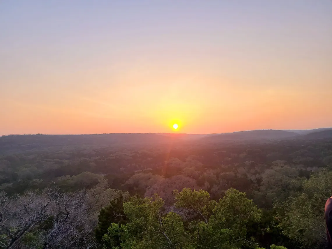
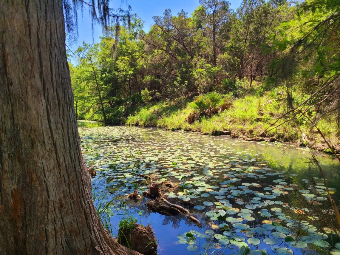
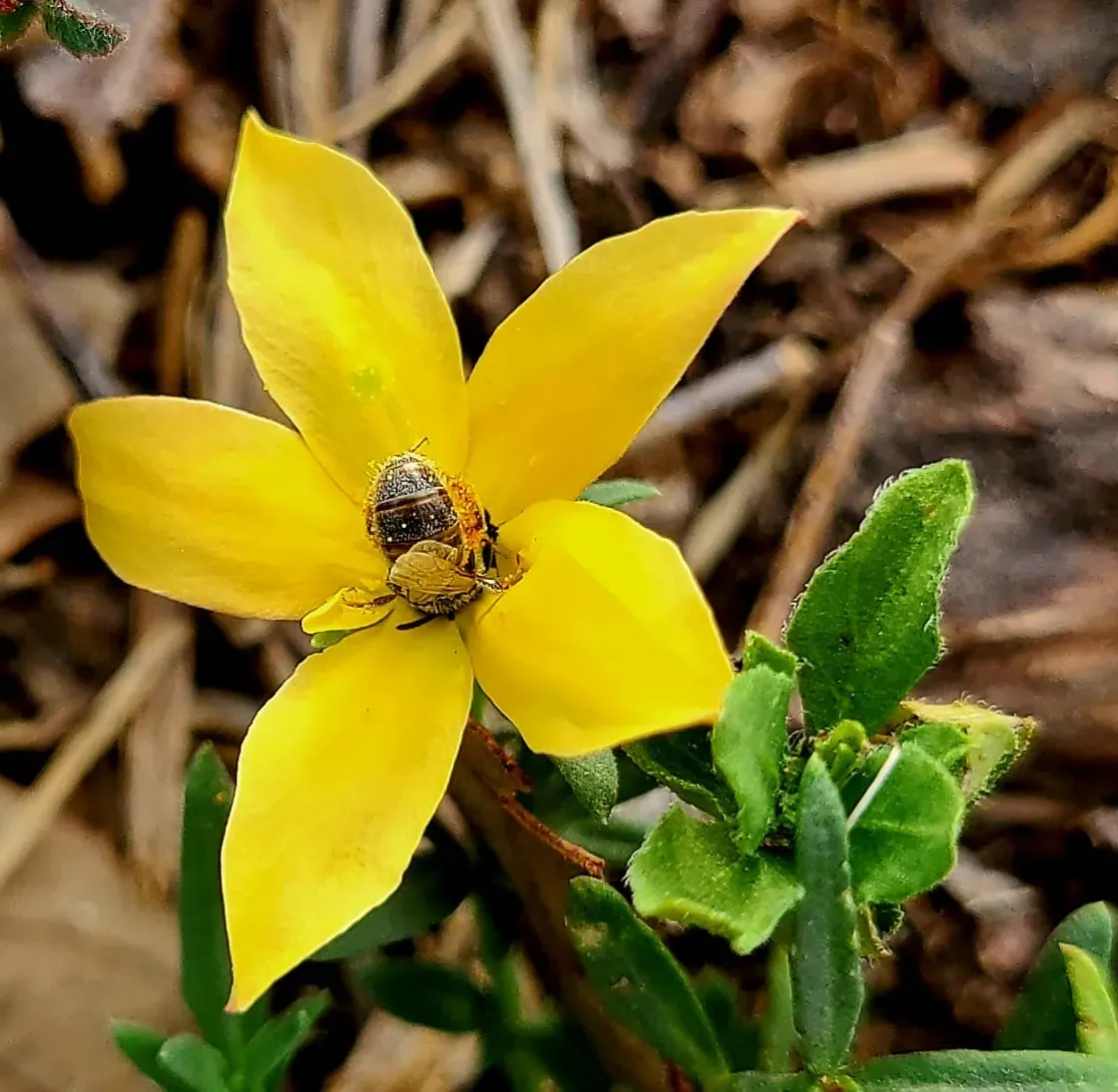
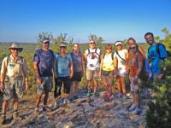
A Year of Amazing Outings
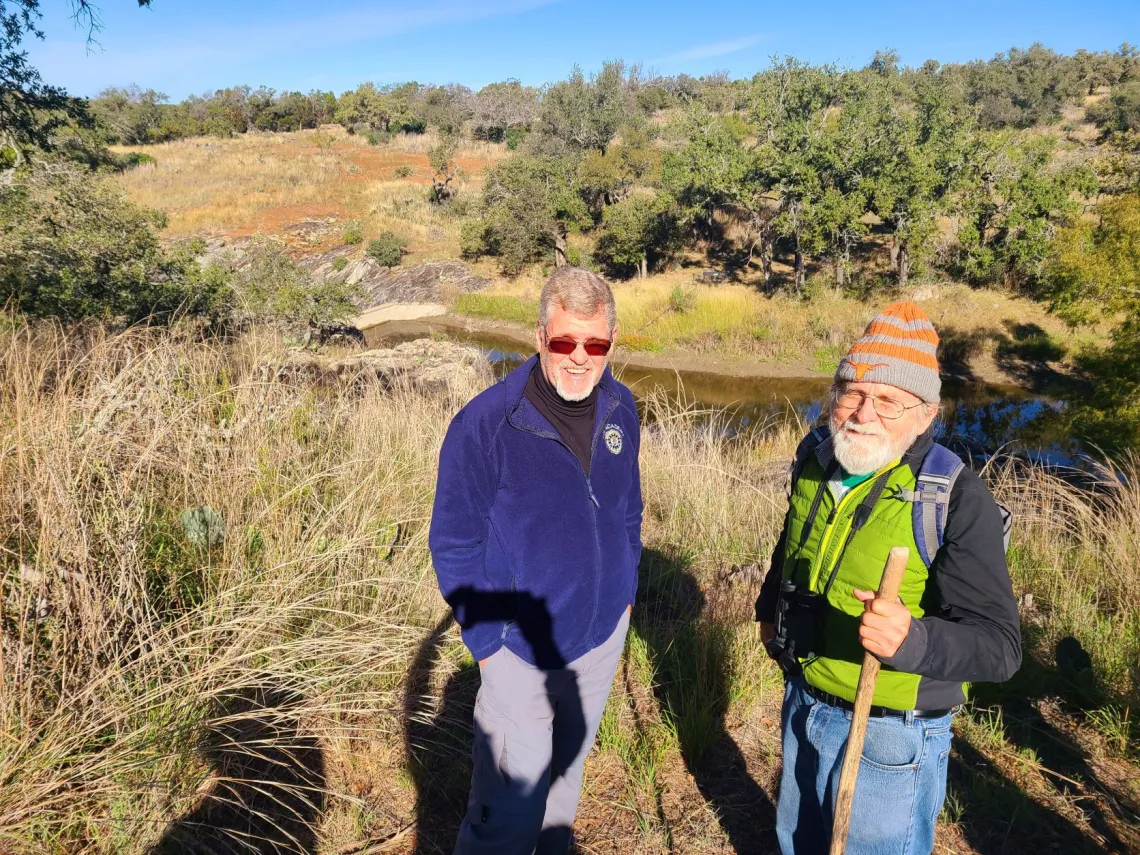
It has been quite a year for the Alamo Sierra Club Outdoor program; we’ve held 26 events engaging 157 participants. We learned about local native grasses at Hardberger Park, took 12-mile hikes at Government Canyon State Natural Area, and some folks won some great prizes at the Nature Trivia night hosted by the Texas Land Conservancy at the Alamo Beer Company.
Many thanks to Stan Drezek and Jerry Morrisey for conducting the educational events at Hardberger Park. Some highlights from this past year’s events:
Please visit our event page on Meetup to check out our calendar and sign up for future events!
We’ve been fortunate to have had the opportunity to partner with San Antonio Parks, The Native Plant Society of Texas, The Greenspace Alliance, Phil Hardberger Park Conservancy, Government Canyon State Natural Area, San Antonio River Authority, San Antonio River Foundation, Friends of Guadalupe State Park and Honey Creek State Natural Area, and the Texas Land Conservancy. There was a lot of interest and enthusiasm from those agencies about partnering in more events in the future.
We plan on continuing to provide a variety of hikes, participating in local cleanup events, and expanding our partnerships and educational events and growing our outdoors leader program. I’d also like to explore ways to tie in local and national political advocacy to our outings program. The outings program would benefit greatly by the addition of more trained outings leaders.
Steps to becoming a trained Sierra Club Local Outdoor Leader:
- Be a Sierra Club member
- Have First Aid certification equivalent to or higher than the American Red Cross
- Complete Outdoor Leaders Training – Basic OLT101
- Lead an event with, and be evaluated by a current Outdoor Leader.
- Receive approval from the Outings Chair
- OLT Training must be updated every 4 years. First Aid training must be updated every 2 years.
If there is enough interest, I would be open to organizing a group training session and can look into partnering with an agency to provide in person CPR certification. Please let me know if you have any interest in becoming an outdoor leader!
I welcome any suggestions for future events or agencies that would like to partner with our Outdoor Program. Feel free to contact me at andrea.alamosc@gmail.com
by Andrea Rodriguez, Alamo Group Outings ChairAlamo Group Christmas Party & Pot Luck
Come and celebrate the joys of the season with the Alamo Group of the Sierra Club!
| WHERE: At the home of | Alan Montemayor: 152 Bluet Lane San Antonio, TX 78213 Map to party |
WHEN: Tuesday, December 13th, 6 - 9 pm
RSVP: to Alan at alan.montemayor@sbcglobal.net.
Recognizing that the pandemic is not yet over, this will be an “indoor/outdoor” party.
Our hosts will provide paper plates, cups, napkins and eating utensils, and coolers with ice.
So please DO bring:
- A folding chair (or two) if you have one.
- Dress appropriately for the weather as well as the season!
- Your favorite appetizer or “side” dish to share, and serving “tool” if needed.
- We ask please NO desserts.
- Bring Your Own Beverages.
NOTE: Please do NOT bring any single-use plastic items. Any plastic you do bring, you will be asked to take back with you when you leave.
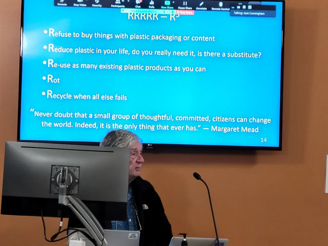
Natural Gas Should Go Out of Style Now
Natural gas was long promoted as a “green” fuel. Burning natural gas does produce less CO2 than coal or oil, and indeed much of the recent reduction in American greenhouse gas emissions was attributed to the replacement of coal with natural gas in US electricity generation. But natural gas infrastructure is leaky, and when it escapes it causes 40 times more climate warming than CO2. Leaks are hard to measure and are therefore not always included in estimates of American greenhouse gas emissions.
The fossil fuel industry has pushed the narrative that natural gas is safe since the 1930s, when they touted its superiority over electricity for cooking in our homes. But we now know that burning natural gas at home causes serious health problems, including a 40% increase in asthma rates among children.
Let’s replace our gas water heaters with electric, our gas stoves with induction cooktops (which are safer and offer more even heating, according to professional chefs), and our gas furnaces with more efficient heat pumps. Let’s follow Santa Barbara and lobby our city councils to ban gas installations in new homes. And let’s replace the term “natural gas” with “fossil gas.”
by Sam Greene Ph.D, Research Scientist at UT-AustinArch and Fry Canyons in Southeastern Utah, Dam Plans for the Colorado, and David Brower/Sierra Club
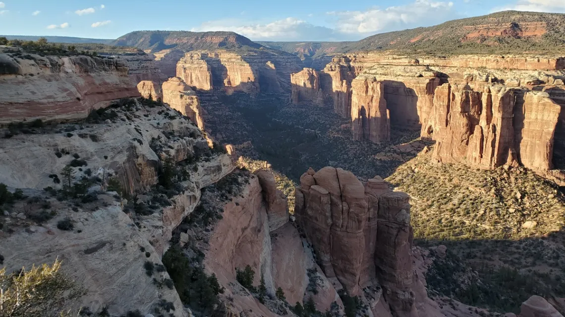
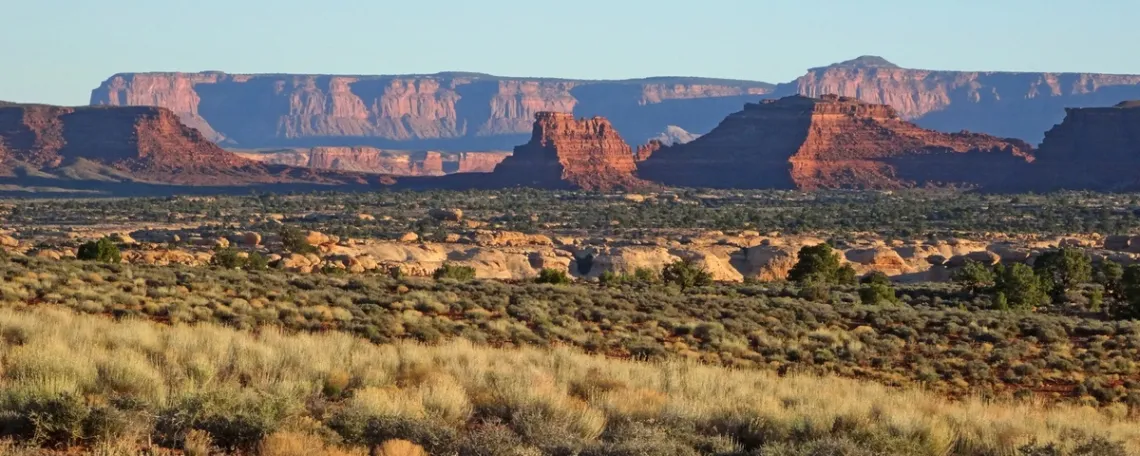
Arch Canyon
On the way to San Rafael Swell in March 2021 I decided to drive to Arch Canyon Overlook in Bears Ears National Monument. RoadTripRyan.com says this "has to be one of the best primitive campsites around". Indeed. Here is the BLM Arch Canyon brochure with a map.
The turnoff north is 19 miles west on UT hwy 95 from the junction with UT hwy 191 south of Blanding. Then 6.6 miles to the overlook on Texas Flat road, but about 4 miles in there is a steep rough high clearance section with sandy sections further on likely impassible when wet, but this was dry and fine in my AWD car.
There are good at-large camp spots before the problem section, and then the few miles walk to the overlook. At the overlook camp spot only one OHV came in for a bit late afternoon. And one hiker came there in the afternoon and again next morning from some camp spot back along the road.
Arch Canyon begins in the heights of Manti-La Sal National Forest to the northwest, and flows east to Comb Wash, on the west side of Comb Ridge. Comb Wash runs south to the San Juan River. In the April 2019 issue of this newsletter there was an article on Bears Ears including a picture of Comb Ridge.
There are lots of hikes up canyons to Ancestral Puebloan ruins, including Arch Canyon, though this trailhead is a bit difficult to get to (webpage). There are many others in this area of Bears Ears, particularly Mule Canyon and Butler Wash ruins.
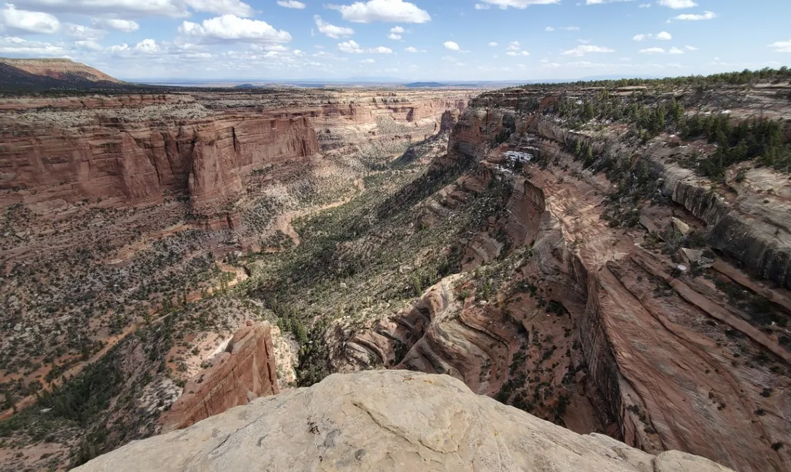
Fry Canyon
The Fry Canyon road turnoff is 50 miles west on UT hwy 95 from the junction with UT hwy 191 south of Blanding, near the western edge of Bears Ears. And 24 miles east on 95 from the bridge over the Colorado and the Hite marina and campground in Glen Canyon National Recreation Area. The turnoff is just west of "Fry Canyon Store and RV Park", as labeled on an old map, on the south side of the road, which are now out of business but not abandoned.
And another map showed an airstrip across Fry Canyon road. What??? Yes I could see an airstrip had once been cleared, for the business I presume. There are some camp spots just down Fry Canyon road, which is very short, and then an AWD section, with nicer camp spots below, on the way to the ruins overlook. Zero other vehicles when I was there.
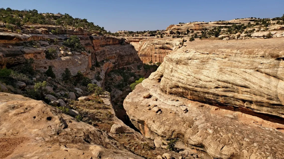
RoadTripRyan.com has an interesting guide with good pictures. You can climb down into the canyon just east of the old lodge, and then there are some narrows, a little swim, and a 50' rappel to get to the ruins. Best not to do this solo, during flooding, or when old and inexperienced with ropes. Not gonna do this myself. If you get to these ruins or any others, take only photos, and best not to touch.
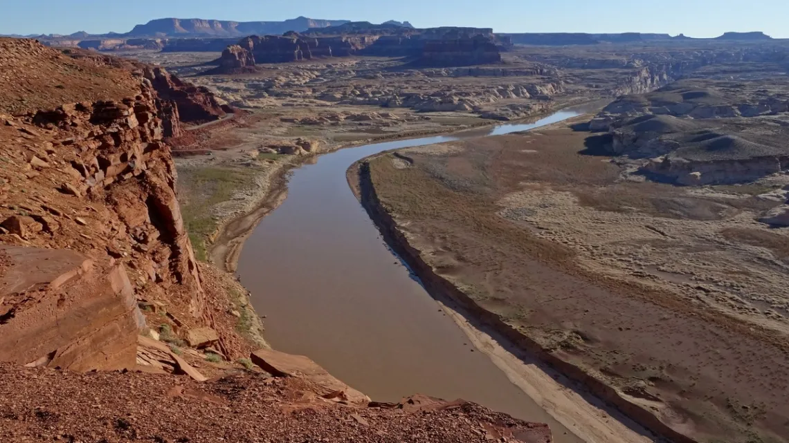
Dam plans for the Colorado and Green rivers, and David Brower
The section of UT hwy 95 both sides of the Colorado River is very scenic. Never mind Lake Powell, created by Glen Canyon dam. I have a friend who is a retired NPS ranger, had worked at Lake Powell. He said cruising the lake in his patrol boat was a great job, though would have been hard to not think about the drowned lovely side canyons and archaeological ruins below.
Found a profound article by David Brower (1912-2000, Wikipedia article), then Executive Director of Sierra Club, in Sierra Magazine, March/April 1997.
“In the first months of the battle for Dinosaur National Monument, I even urged the construction of a higher Glen Canyon dam as a way to save Dinosaur and reduce overall evaporation from the Colorado River Storage Project. Utah river runners straightened me out. But in 1956 the Club directors instructed me, then executive director, to end the club's opposition to the construction of the dam at Glen Canyon if the two dams proposed upstream in Dinosaur were dropped.”
One was to be at Echo Park on Green River, which joins the Colorado in Canyonlands National Park.
“In a 1992 documentary in which I almost tearfully took the blame for Glen Canyon, producer John DeGraff kindly attributed my problem to my not having seen Glen before offering to give it away. I knew better: Wallace Stegner had told me, 'Strictly between us, [Dinosaur] doesn't hold a candle to Glen.' I have worn sackcloth and ashes ever since, convinced that I could have saved the place if I had simply got off my duff.”
A footnote in the Sierra article:
“Brower, executive director of the Sierra Club from 1952 to 1969, has been a Club member 63 years and on the Sierra Club board of directors a total of 18 years. ... 'If this plan [to drain Lake Powell] works, I'll go quietly,' he says. He has threatened to put a tachometer on his headstone, however, 'to indicate how fast I'm spinning if the Bureau [of Reclamation] acts up.”
There was an article in this newsletter February 2019 about Dinosaur National Monument and the dam project, with pictures of lovely spots that would have been drowned. In the May 2019 issue there was a picture of the proposed dam site. Here's a background article Echo Park Dam and the Early Environmental Movement.
National Wildlife Federation Sacred Grounds Designee Provides Space for Paces & Prayers
Are you choosing to Opt Outside this season? A newly-public trail on private land provides easy access for every family member--including the leashed ones--to add some steps or stop and reflect in an open atmosphere. The path is open to the public daily from sunrise to sunset.
The first faith group in Texas to be designated as a National Wildlife Federation Sacred Grounds congregation, Northern Hills United Methodist Church, (NHUMC) near the Bulverde exit on Loop 1604 Northeast, recently opened its Beatitudes Prayer Walk, a hilltop path which circles asphalt parking lots.
Around the perimeter are prayer stations with stone benches and metal plaques inviting pilgrims to reflect on foundational teachings of Jesus in short sentences collectively known as “Beatitudes” or “way of blessing”. QR codes link to devotional materials that are changed each season, and to information about highlighted native plants.
Trail opening was timed to the 20-year celebration of the congregation’s move from its previous suburban site in May. During two decades with a larger campus, many congregation members had advocated for integration of land stewardship and spiritual growth.
During 2019, surrounding trees were felled on adjacent property. Natural habitat was replaced with public storage units and a dense apartment complex. A privacy fence hugged the edges of the church lots. Senior pastor Lupina Villalpando Stewart considered new campus access points to open the space to the new neighbors. The onset of the COVID-19 pandemic pushed the pastor’s contemplations toward moving ministries outdoors.
A vision for a Prayer Walk arose from the church’s Worship Director, Abel Stewart, during his participation in a doctoral Applied Arts course at Dallas International University. Church member Rebecca Futchel proposed integrating the Beatitudes along the path. Randy Jeffries, a recently retired architect and church member, volunteered his time to work as a commissioned artist on the project.
Plans for a formal prayer walk turned into trail-building in 2020. Long-time church member Todd Phillips, who is a veterinarian by occupation, served as liaison to various community organizations. San Antonio River Authority provided guidance on native plant habitat. The project received a 2022 grant from Native Plant Society of Texas-San Antonio chapter.
Church member Sylvia Carpenter, an artist by profession, painted a mural on a cargo container at the trail head, and footprints marking the path on asphalt.
The resulting community space for spiritual reflection and movement moves the congregation from focus on preserving habitat only on-site, to educating the community and encouraging members to restore natural habitat at their respective homes.
Native Plant Society of Texas-San Antonio chapter vice president Pam Peck provided a “Nurturing nature in your landscape” workshop to members November 14. Church members offered attendees potted native plants and “seed bombs” to start home prairie restorations.
Peck shared reflections from her visit:
The trail affords users with a bit of spiritual solitude for reflection and prayer in the midst of urban development. The trail is also an opportunity to educate congregants and other users as to the importance of stewardship within our urban properties, including our homes, worship centers, schools, and other public spaces. Protecting, nurturing and restoring native flora in all these areas is essential to preserving our increasingly fragile food web as urban development continues to push into our remaining undeveloped areas.
Abel Stewart said:
“Within a framework of holistic ministry, we’ve been focusing on three primary goals: empowering spiritual growth (through prayer and reflection on scripture), empowering physical health (through providing a physical walking trail), and caring for God’s creation.”
Lee Marlowe, president of the Native Plant Society of Texas-San Antonio chapter, and a restoration ecologist employed by San Antonio River Authority, said:
“This project is a great example of natural resource stewardship and thoughtful ways of engaging people with nature. Each person I spoke with expressed sincere care for the natural environment and appreciation for the diversity of native flora and fauna present. Conserving native plant communities in place, enhancing those communities through stewardship, and providing ways for people to interact with those communities are practices that yield many benefits for individuals and the larger community, and it's wonderful to see these actions being taken in the San Antonio River watershed.”
Beatitudes Prayer Walk is open to the public 365 days a year at 3703 North Loop 1604 East in San Antonio.
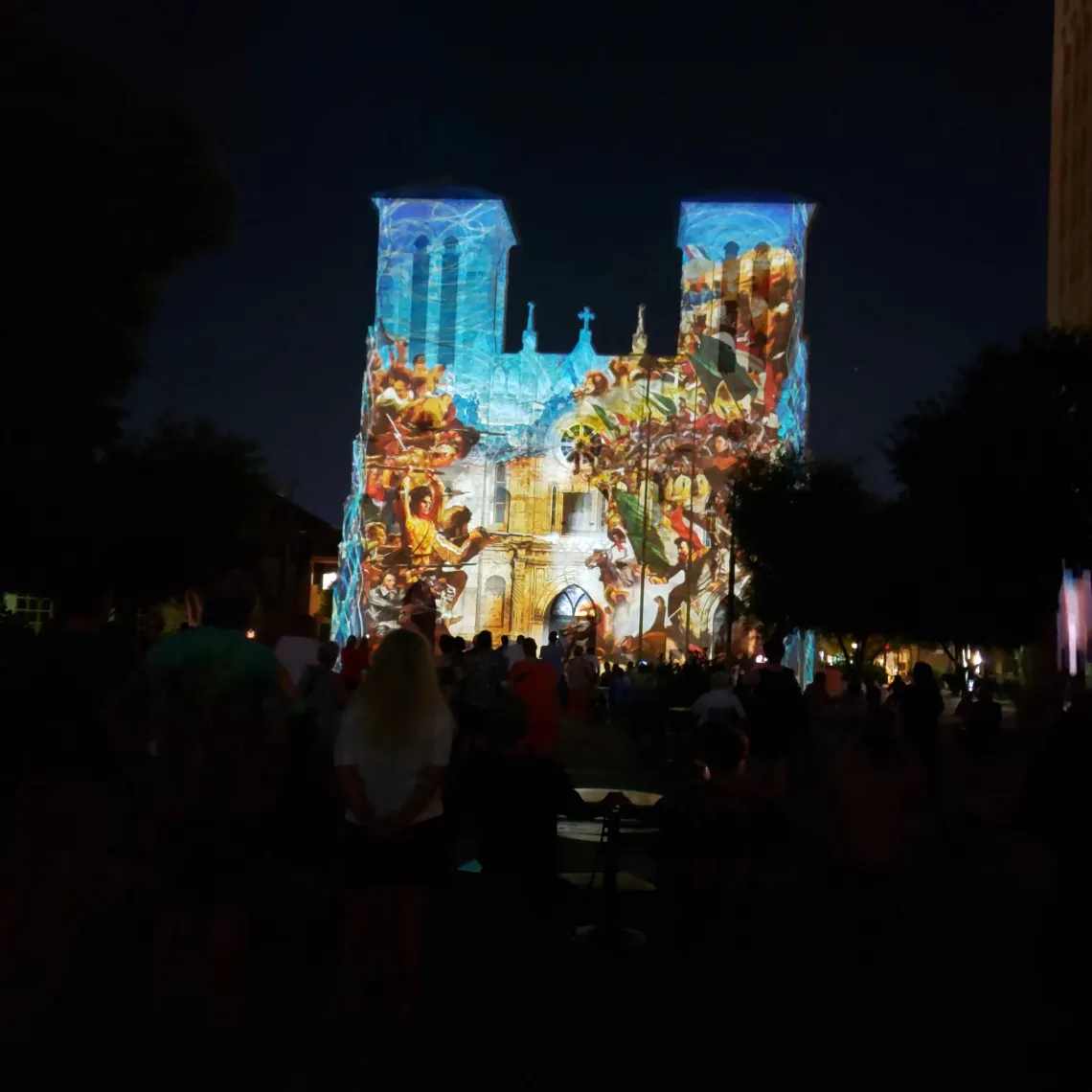
by Rachel Cywinski, Alamo Group life memberOur November General Meeting

Outings: The Call of the Wild
Visit the Alamo Sierra Club Outings page on Meetup for detailed information about all of our upcoming Sierra Club Outings.
The Alamo Sierran Newsletter
Richard Alles, Editor
Published by the Alamo Group of the Sierra Club, P.O. Box 6443, San Antonio, TX 78209, AlamoSierraClub.org.
The Alamo Group is one of 13 regional groups within the Lone Star Chapter of the Sierra Club.
Changed your contact information?
If you're not sure whether the Sierra Club has your current email address, send an email to Member Services with your name and address and/or member ID (see Locating Your Member ID) so they can add your email address to your member record.
Have you moved? Let us know by sending your old address, your new address and your member ID to: address.changes@sierraclub.org.
Go online for the latest news and events
 |