Remembering an Alamo Group Founder
Lee Carr, one of the founders of the Alamo Group of the Sierra Club, passed away on September 29th. At her funeral, there were 15 musicians jamming in her honor. She had been an educator who later taught herself to play the dulcimer. According to her obituary:
Lee had a huge love for music, in particular bluegrass and country music. She taught herself to play the mountain dulcimer. In 2003, Lee was the Midwest Mountain Dulcimer Champion, and in Aug of 2012, she was inducted into the Hall of Fame for National Traditional Country Music.
Lee and her bandmates often entertained us at Alamo Group holiday parties. She and her husband Charles lived in Hollywood Park and owned an RV bus they used to travel across the US in their retirement.
by Richard Alles, Newsletter EditorDavis Mountains: a State Park & Other Spots
Likely many of us have been to Davis Mountains State Park. How about Chihuahuan Desert Nature Center? And there is Nature Conservancy's Davis Mountains Preserve.
Here is the Davis Mountains State Park website and the trails map (PDF). There are a bunch of trails, but of particular interest may be a rather new 11 mile lollipop loop in the north part of the park. This is north of highway 118; all the other development and trails in the park are south of the highway.
There is a locked gate at the trailhead and a permit is required. I got a permit and the gate code the day before my hike, just needed to check in/out on a clipboard at the visitor center. I was told the park wants to keep track of who is in there. The route is moderate and fairly obvious. Didn't see anyone else on the hike.
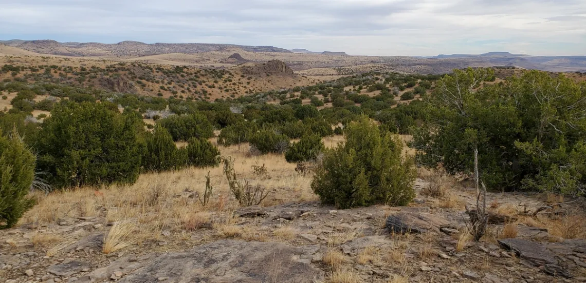
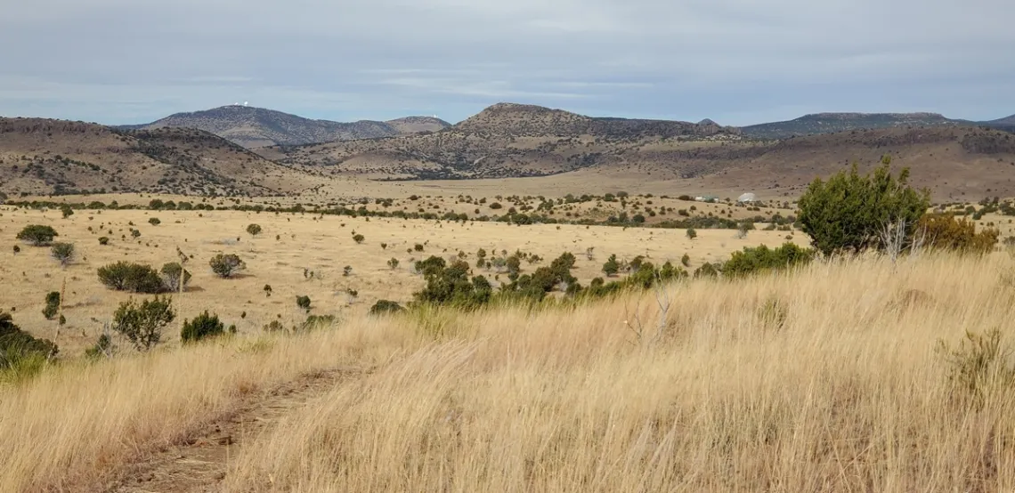
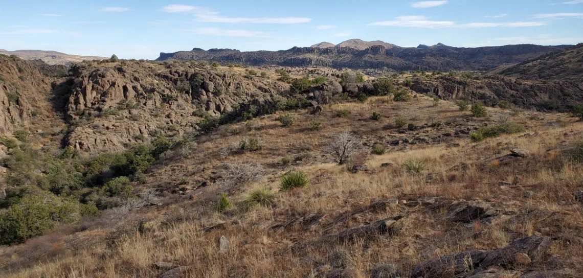
The first three pictures are in this park, taken December 2021 on this loop. Looking at the map we can see we first hike west on Limpia Creek Trail which winds around east and connects with Sheep Pen Canyon Loop.
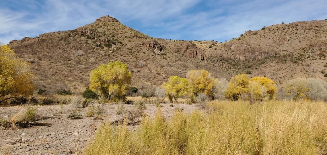
I did the loop counter-clockwise. Various views of McDonald Observatory telescope domes looking northwest along the east side of Sheep Pen Canyon Loop. Then I note a radio telescope antenna; what's that about?
A search shows this to be part of the Harvard Radio Astronomy Station, beginning operation in 1956. This antenna is part of the VLBA (Very Long Baseline Array) program of NRAO (National Radio Astronomy Observatory). This was built here due to low background radio noise, the antenna being in a low meadow between mountains. Another part of the VLBA is the NRAO VLA (National Radio Astronomy Observatory Very Large Array) which was mentioned in this newsletter, an article February 2023. This one is located west of central New Mexico.
Chihuahuan Desert Research Institute
This is about the Chihuahuan Desert Nature Center, which is off hwy 118 just southeast of Fort Davis. Here's the website. On the initial page they have a better picture than my own from the same spot, and a good video.
Here is the trails page with a map. The outer loop is 2.5 miles. Going clockwise, Modesta Springs is interesting, along with the vista from Lion's Head Hill. At Clayton's Overlook there is an excellent extensive geology exhibit with signs explaining the mountain ranges all around in detail. Should have spent time in the visitor center/museum but I was in a hurry to get to Davis Mountains State Park.
Nature Conservancy's Davis Mountains Preserve
Here is the preserve webpage, which says “Our Madera Canyon Trail is separate from the Davis Mountains Preserve and is OPEN to the public all year long, from sunrise to sunset."Madera Canyon trailhead is 19 miles northwest on hwy 118 from the Davis Mountains State Park entrance. Here's the Madera Canyon Trail map/brochure (PDF). An easy 2.4 mile loop with little elevation change.
Here is the topo map (PDF) with detail about the preserve itself. Lots of trail mileage beyond Madera Canyon for hikers, bikers and horseback riders and four campgrounds. The preserve's webpage says the Open Day schedule for 2024 will be available by end of 2023.
Surely some of us will wish to do these open days/weekends. On the December 2021 trip I was in too much of a hurry to get to Big Bend Ranch State Park and so didn't bother with Madera Canyon Trail. Must do it some day.
by Kevin Hartley, Sierra Club Life Member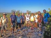
Outings: The Call of the Wild
Visit the Alamo Sierra Club Outings page on Meetup for detailed information about all of our upcoming Sierra Club Outings.
The Alamo Sierran Newsletter
Richard Alles, Editor
Published by the Alamo Group of the Sierra Club, P.O. Box 6443, San Antonio, TX 78209, AlamoSierraClub.org.
The Alamo Group is one of 13 regional groups within the Lone Star Chapter of the Sierra Club.
Changed your contact information?
If you're not sure whether the Sierra Club has your current email address, send an email to Member Services with your name and address and/or member ID (see Locating Your Member ID) so they can add your email address to your member record.
Have you moved? Let us know by sending your old address, your new address and your member ID to: address.changes@sierraclub.org.
Go online for the latest news and events
 |