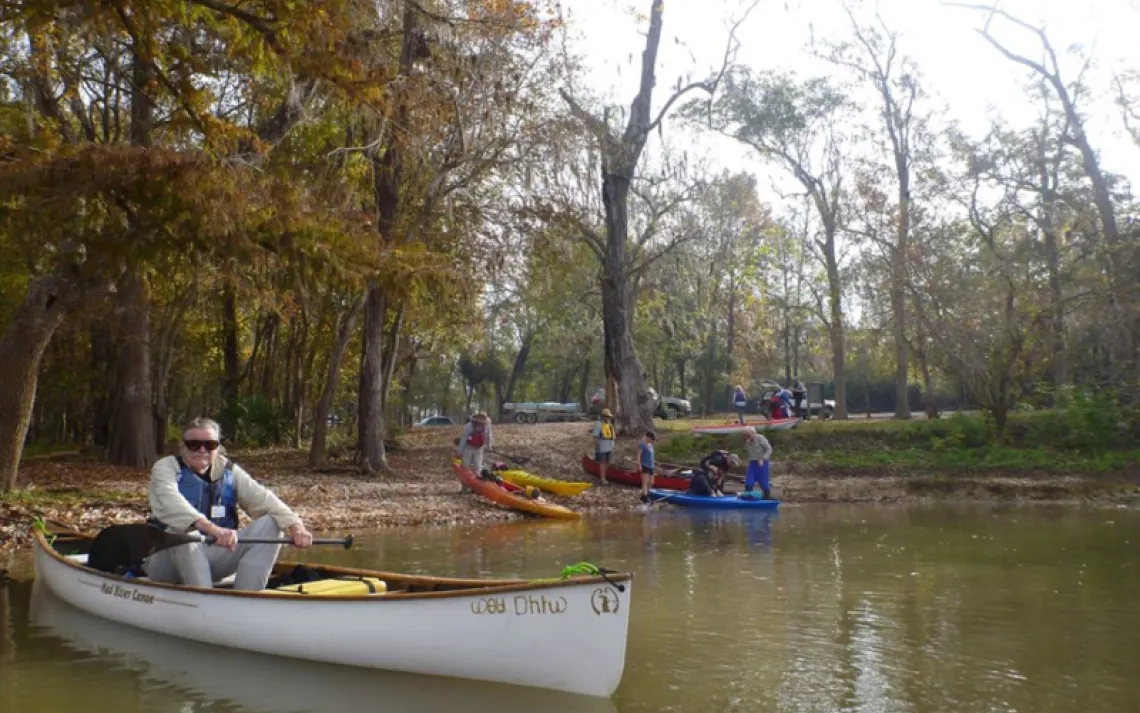


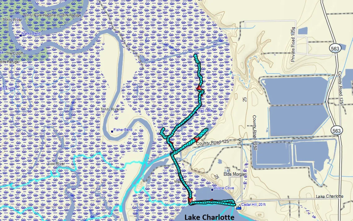
Our base of operations for the day was Cedar Hill Park, which is on Lake Charlotte Road about 7 miles northwest of the city of Anahuac. Originally constructed by the U.S. Army Corps of Engineers, www.swg.usace.army.mil/Locations/Wallisville-Lake-Project-Office/ the park is operated by the Chambers County Parks and Recreation Department. www.co.chambers.tx.us/default.aspx?name=parks.cedar_hill_park
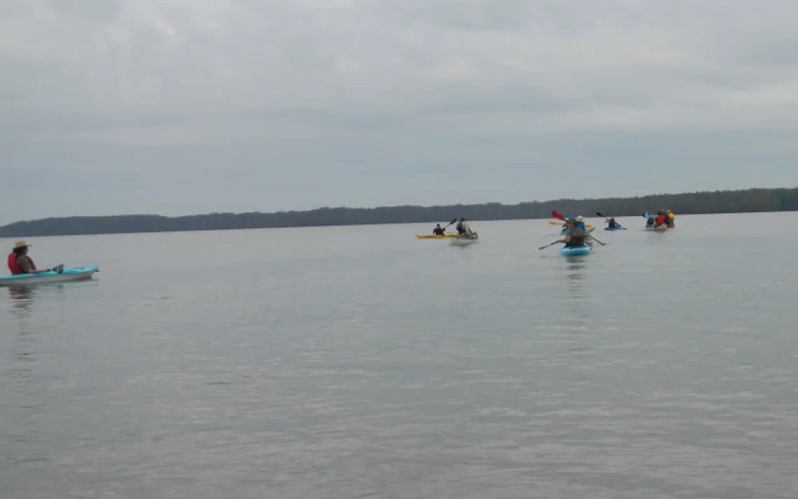
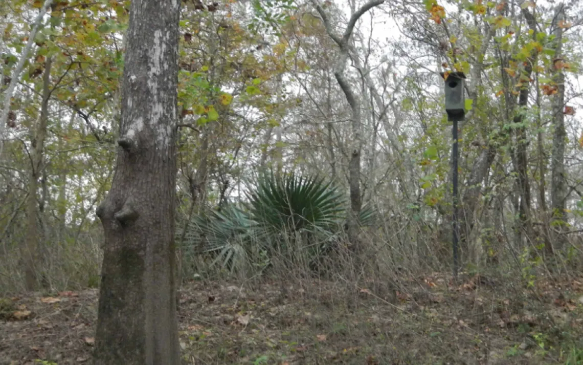
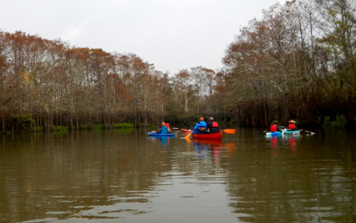
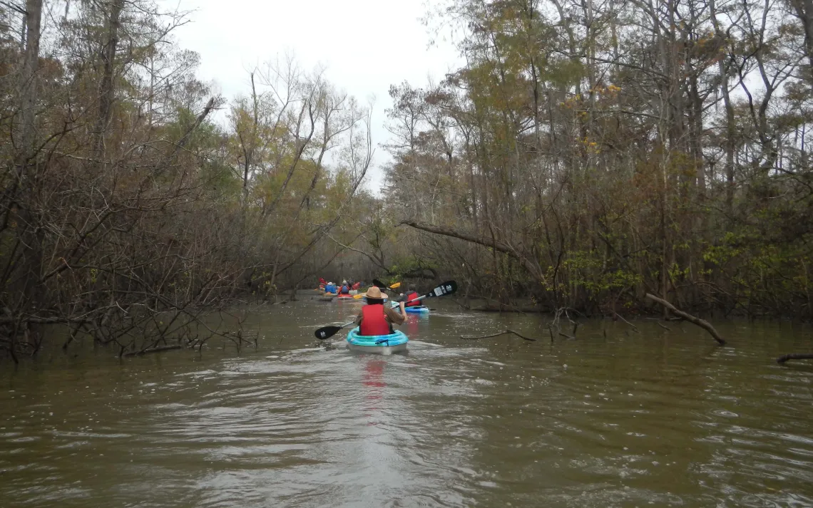
Having overcome minor issues with freeway lane closures, patches of fog, and a locked gate, we began to sense that the force was going to be with us. Very light winds made the crossing of Lake Charlotte, over to the mouth of Mac Bayou, smooth going. Heading north, we noticed some old wooden nest boxes, and also newer plastic ones, that had been put up along the bayou’s west bank as nesting places for wood ducks. Passing by the breached levee across the bayou, we took a jog to the right at the now-abandoned sulfur mine’s barge canal, and continued north along Mac Bayou. The view of the high water mark from Hurricane Harvey, which was more than nine feet above the water level on the day of the outing, was particularly striking during a side trip into Secret Lake. Despite the gray sky, it was easy to see the contrast between the cypresses, whose foliage was turning to a rust color, and the understory plants that were still bright green. We didn’t encounter any duck hunters during the day, tpwd.texas.gov/regulations/outdoor-annual/regs/counties/chambers though we did see a hunting blind in Secret Lake that was heavily draped with Spanish Moss, and two of our paddlers did rescue a couple of lost duck decoys back in the trees near Mac Bayou later in the day.
The water level was just high enough to allow us to paddle up to where the bayou is crossed by the first of several pipelines. This being the closest to “dry land” that we were likely to see, we used it as our lunch stop, even though most of us decided to eat lunch in our boats.
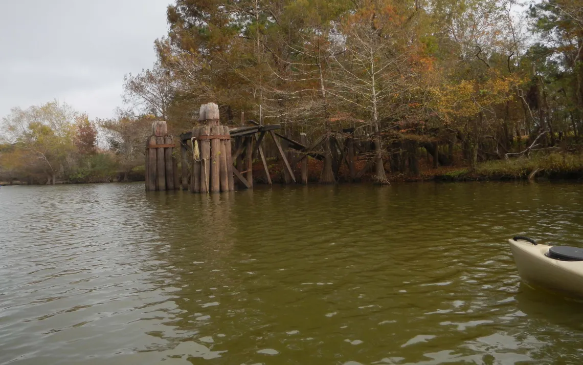
Passing back by the entrance to Secret Lake, we paddled a half-mile to the east along the barge canal, where we could see relics of the old sulfur mine. Then, it was back down to Lake Charlotte, where a gentle easterly breeze only slowed our return paddle to the park by a little. At the end of the day, it seemed that the force really had been with us – despite a forecast for some rain, our 8-mile trip had only taken us through one brief shower. Several members of the group, who hadn’t explored this part of the swamp system before, were more than ready to return at the next opportunity.
Special thanks to Joe Coker, who alternated as our lead boat and sweep boat, and to Joe Coker, Linda Shead, and Tom Douglas for photos. More of Joe’s photos can be viewed online at www.houstoncanoeclub.org/content.aspx?page_id=187&club_id=496051#.
by Tom Douglas