May 25, 2018


by Tom Douglas
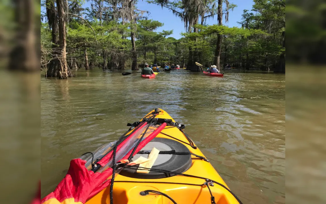
It was a fine Sunday for an outing, with clear skies, moderate temperatures, and little wind. The site was Champion Lake, www.chron.com/neighborhood/article/CHAMPION-LAKE-JEWEL-OF-SOUTH-LIBERTY-COUNTY-9785304.php which is part of the Trinity River National Wildlife Refuge www.fws.gov/refuge/trinity_river/. Starting out from the boat ramp, we headed southwest along the rim of the lake until we reached a marked trail leading back to several of the forest clearings that are numbered for use by hunters during duck season www.fws.gov/uploadedFiles/map-hunt-ChampionLakeDuck2013_508.pdf. Before entering the forest, we made sure that everyone had a compass and instructions about what to do in case they should become separated from the group. Fortunately, that didn’t happen.
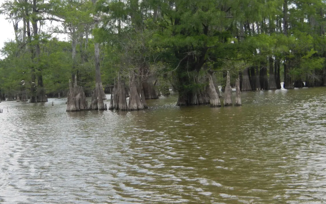
After visiting two of the clearings, we left the trail and took a shortcut through the forest to yet another one. We knew about this route, thanks to our scouting crew, who had discovered two days earlier that this would allow us to avoid a large alligator that was being very protective of his territory. (You can read more about their adventure at http://thcc.clubexpress.com/content.aspx?page_id=22&club_id=496051&module_id=297401&sl=893430146.) We followed a trail past two other clearings, and continued west until we spied a bird rookery in the distance. By cutting to the south, we were able to give the birds, which were mostly white ibises, http://tx.audubon.org/white-ibis plenty of room. Heading farther along the rim of the lake, we could see that the huge nesting colony went on for around a half-mile, and extended quite a ways back into the forest.
Then, it was time to wind up our three-hour morning paddle by returning to the boat ramp. Although it wasn’t the most wilderness-like of settings, the ramp did allow us easy access to our vehicles and to a portable toilet.
Following a leisurely lunch, we paddled to the north and east, along the levee that holds water back into this part of the Trinity River’s floodplain, thus forming Champion Lake. Passing by the lake level control structure, we reached the spillway. There, we could see across into Pickett’s Bayou, which makes a turn to the south at that point. Soon, we were back at the boat ramp, where our outing ended. All told, we had paddled about 6.9 miles.
Several features of our path are shown on the map marked “Where We Went” - numbers for the designated forest clearings, animal silhouettes for the bird rookery and alligator territory, C for the control structure, and S for the spillway. The second map shows a lot of places where we didn’t go, thanks to the knowledge gained by our advance scouts.
To see more photos of our visit to Champion Lake, you might want to view the photo album that was posted online by Kent Walters at www.houstoncanoeclub.org/content.aspx?page_id=187&club_id=496051