


The weather was spectacular, and the water level in the cypress swamp was high. Just two days before our December 1 outing, the US Geological Survey’s monitoring station at Liberty, TX (about 27 miles upriver from where we were) had ended a period of more than 40 days and 40 nights above flood stage. The USGS gauge at Lake Charlotte registered 11.9 feet, which is more than four and a half feet above the historical median for this day of the year.
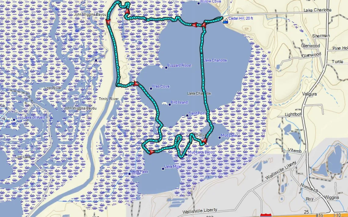
We owed a real debt of gratitude to our dauntless party of river scouts (Joe Coker, Tom Douglas, Ken McCormick, and Natalie Wiest), who had checked out conditions a couple of days ahead of time. Among the things that they saw, but we didn’t need to, were a couple of muddy portages and the swift flow of the Trinity River. In the accompanying slide show, you can see maps of both the November 29 scouting trip and the December 1 outing that is described here.
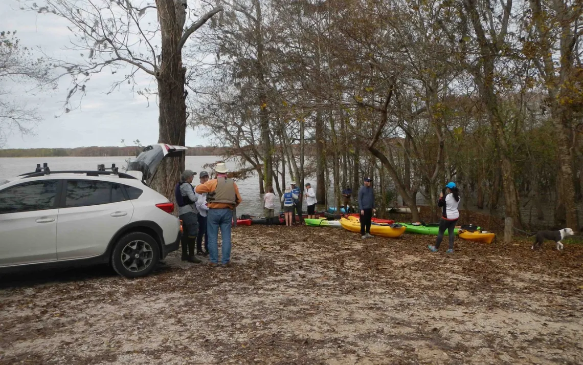
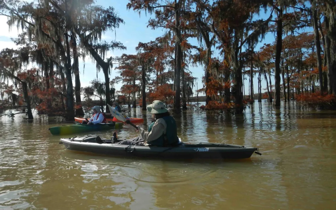
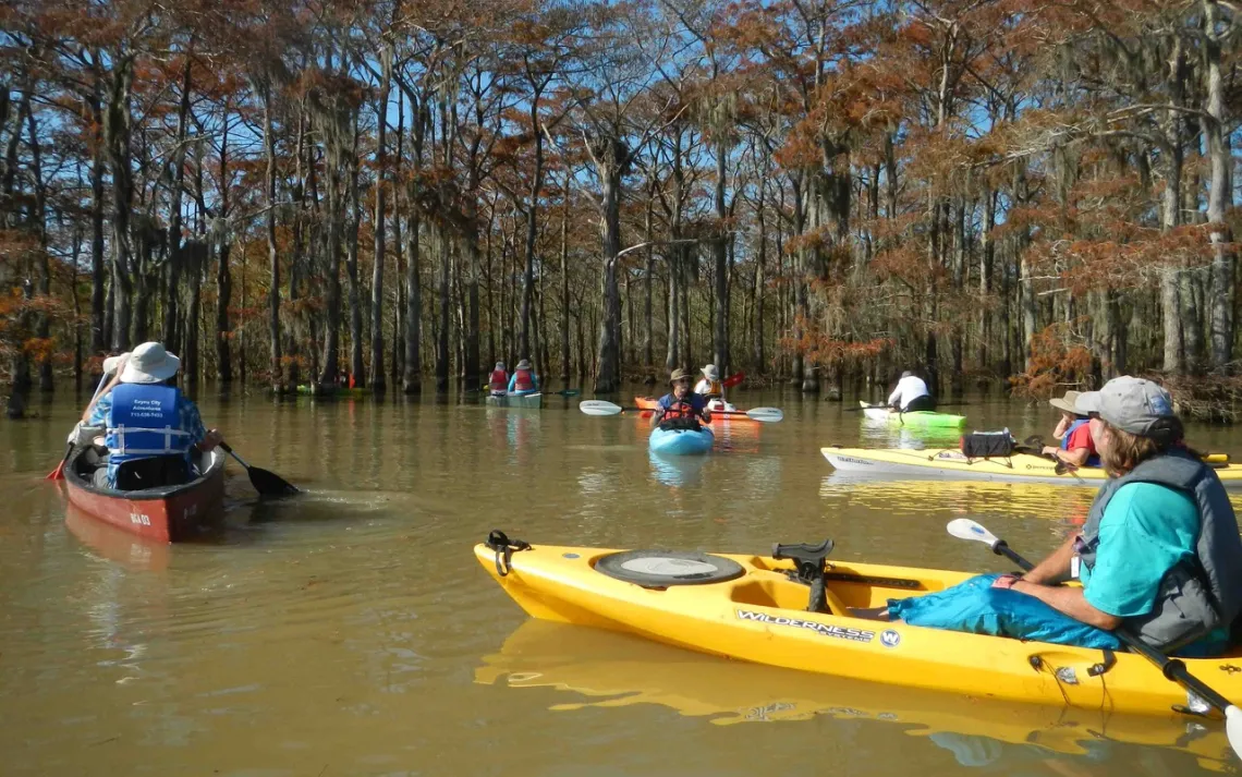
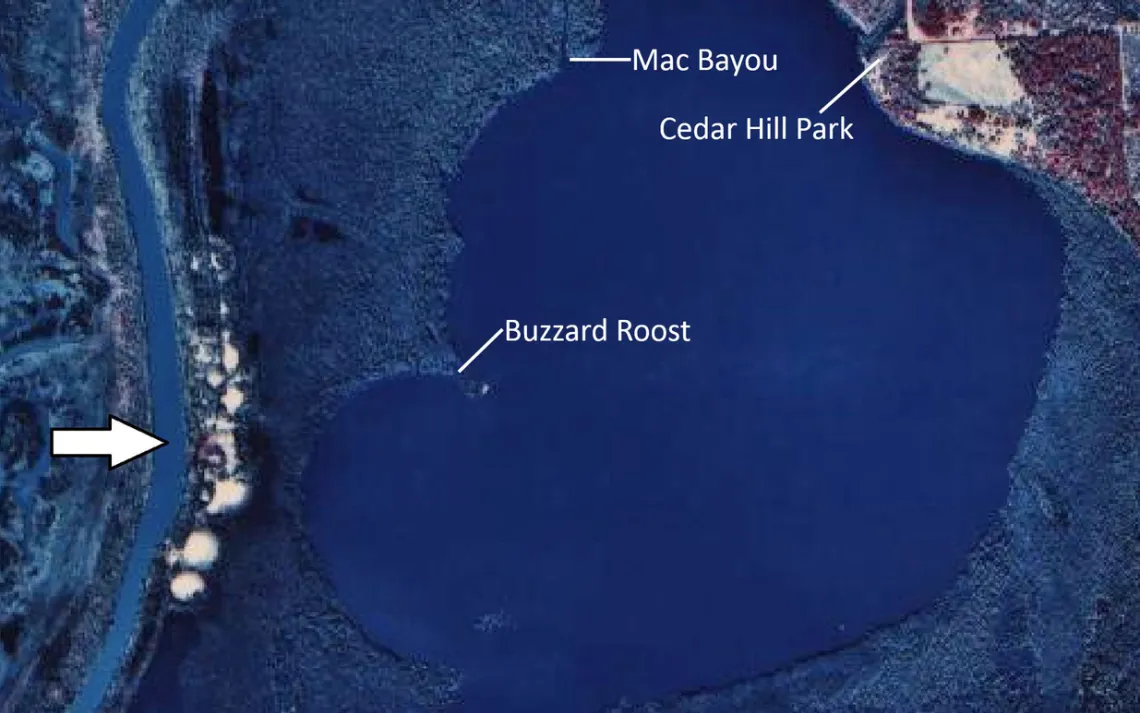
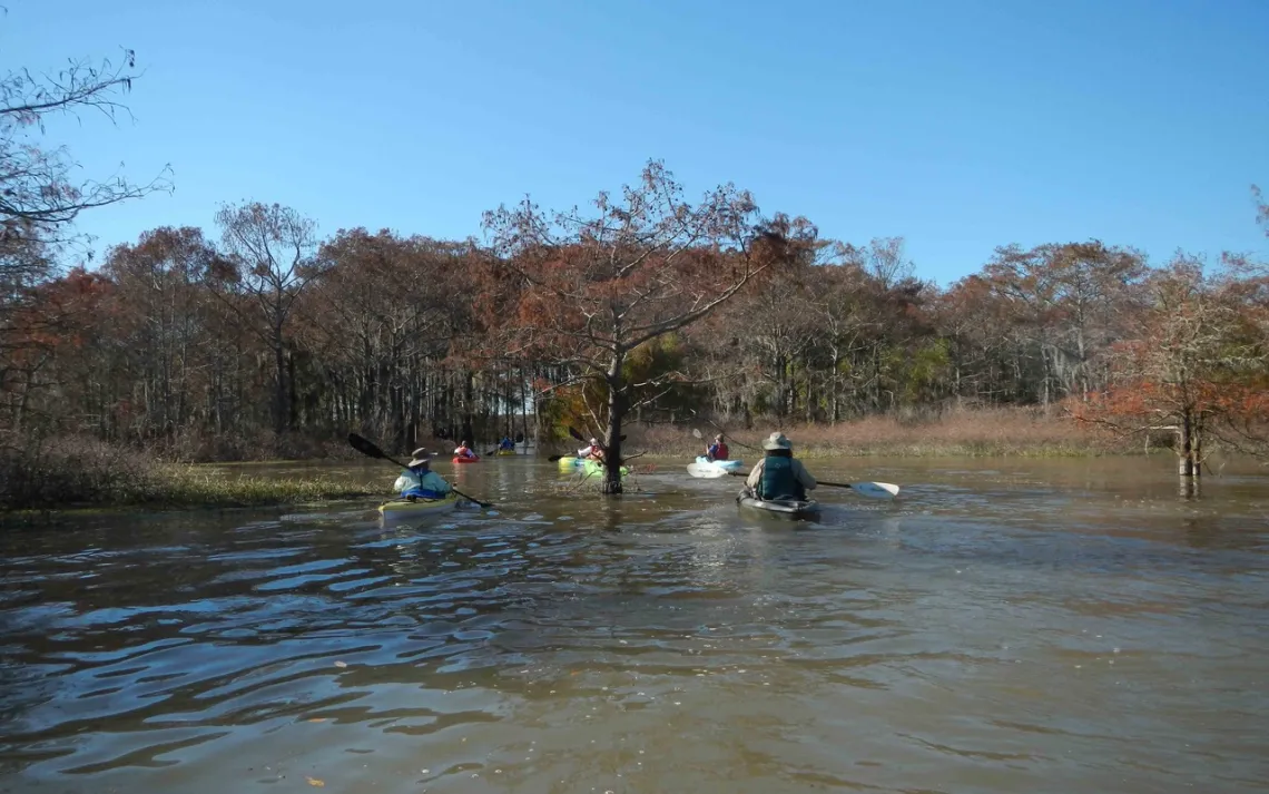
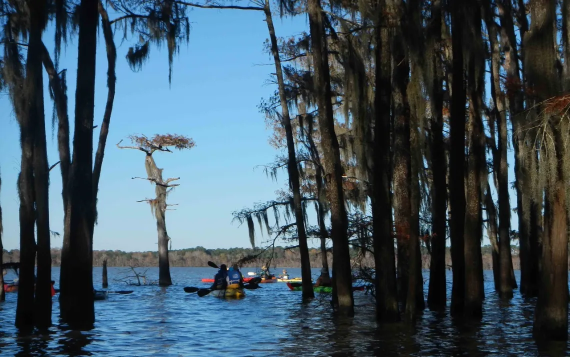
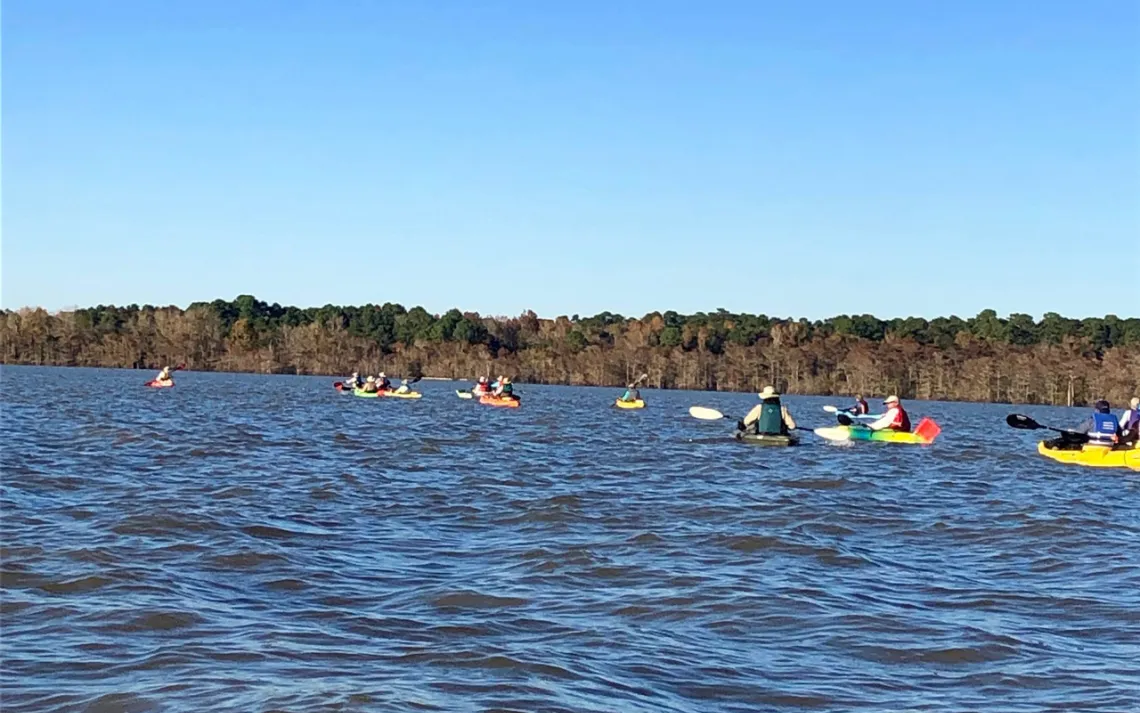
Our group of 19 paddlers headed west from Cedar Hill Park, where we had gathered, across Lake Charlotte, to the mouth of Mac Bayou. Here we could sense the strength of the current that was coming down the bayou, making it easy to see why it would not be a hospitable place to venture today. The current ushered us through a small passage known as Gator Alley, from which we went southwest and south, in and out of the forest, to Buzzard Roost. The high water let us take a shortcut through the line of trees at Buzzard Roost, then it was on down to the westernmost point of Lake Charlotte, where a large osprey nest in the top of a dead cypress tree (one of three such nests that we saw along this side of the lake) marks the point where paddlers (such as our scouting party) sometimes head west to visit a series of mysterious sand mounds that line the eastern bank of the Trinity River. Down at the south end of Lake Charlotte, we entered a stream called Lake Pass that leads down to Lake Miller. Crossing that lake, we followed a narrow corridor through the trees to our lunch stop.
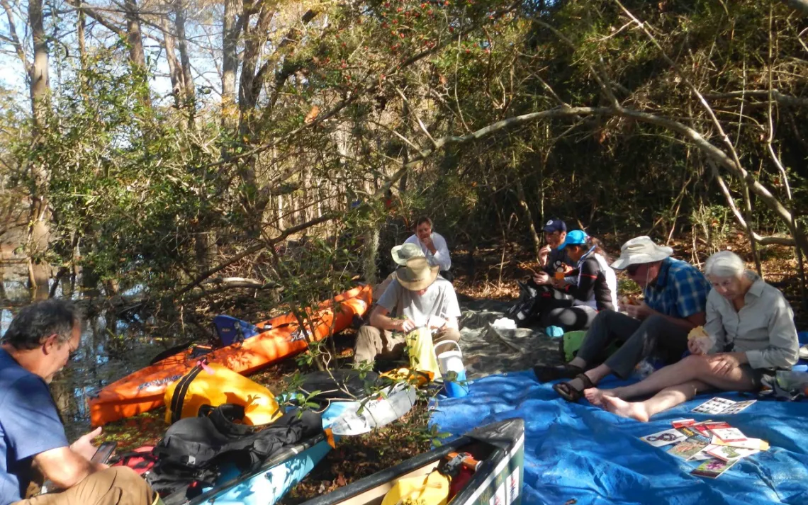
During our break, Tom Byrd, who works with an organization that focuses on historical trails in Texas, recounted stories of how the Spanish and French had clashed here during the 1700s, and how internal intrigue among Spanish officials played out nearby. We learned that after the Spanish arrested a French trader here, they established the Mission Nuestra Señora de La Luz and the Presidio San Augustín de Ahumada within a few hundred yards of the spot where we were sitting.
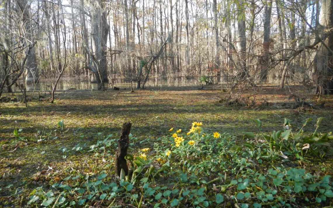
With our minds and bodies refreshed, we paddled back to Lake Miller, and up to its north end, where we followed Mud Lake Bayou for a little over a mile as it winds its way over to Mud Lake. Near the east end of the bayou, we were treated to a view of patches of Bidens laevis (common name: “smooth beggartick”), a member of the sunflower family that grows in wetlands from California to Maine.
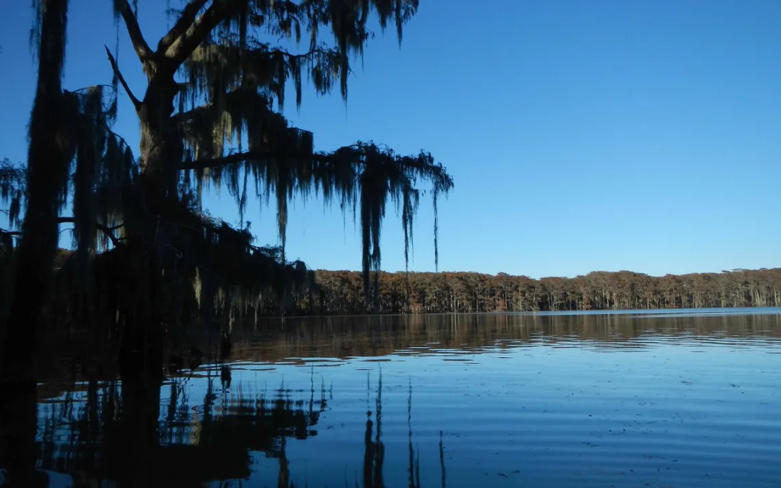
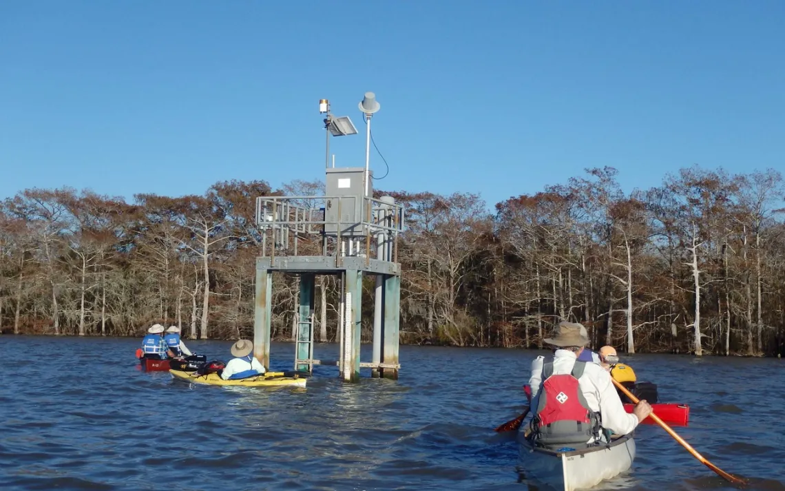
Crossing Mud Lake, we made our way north through a small channel where we caught the first view of Lake Charlotte that we had had for some time. We knew that the 1.5 mile transit across the lake back to Cedar Hill Park would be a challenge, because the variable wind from the west, that we had been artfully dodging almost all day, would again become a factor. Stopping briefly at the USGS Lake Charlotte gauging station, we completed this final leg of our journey. The launch site at Cedar Hill Park beckoned to us powerfully, as the last bit of our outing took us directly downwind to it.
Having paddled 8.6 miles, we returned to the park on time, at 4:15. Driving conditions on Interstate 10 weren’t very good between Cedar Hill Park and Houston, but at least we could comfort ourselves with memories of a wonderful day outdoors.
Thanks to Joe Coker (JC), Tom Douglas (TD), Linda Shead (LS), and Natalie Wiest (NW) for contributing photos for this article. The initials of the photographer for each picture are included in its caption. Photo albums of both the December 1 outing and the November 29 scouting trip may be viewed online.
By Tom Douglas