On October 11, five of us observed Indigenous Peoples’ Day/Columbus Day over at Cedar Bayou, which is a microcosm of many aspects of Galveston Bay and its tributaries. We met up at Thompson’s Bait Camp, which is on Ash Point, several miles southeast of Baytown. There is a small fee for launching at the camp’s concrete boat ramp, but it is well worth it, since parking is convenient and the manager keeps an eye out on things, including giving a hand to anyone needing a little help at the ramp.
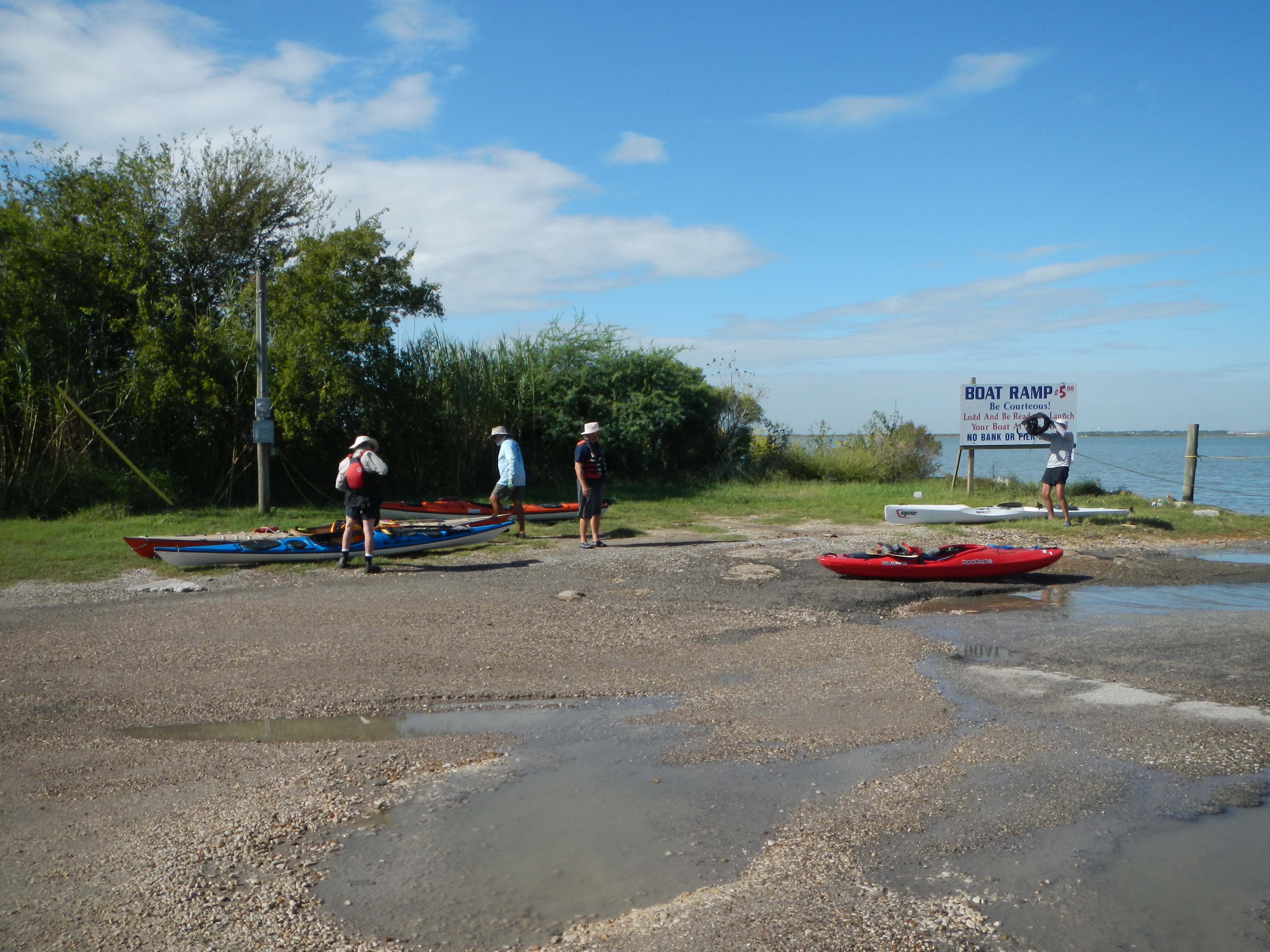 Thompson’s by Tom Douglas
We headed south, then east around the tip of Boaz Island and up into Fisher Marsh, which marks the mouth of Cedar Bayou. Paddling up through the pass that was once spanned by a bridge for Tri City Beach Road, our path took us directly past a place that is of particular significance to the Sierra Club because it was the focus of the club’s successful litigation over the disposal of a by-product of the oil and gas production process: “produced water.” We continued on into Ash Lake and followed the bayou’s meandering course to the north. This took us through several lakes, ducking in and out of the Cedar Bayou Navigation Channel, which is marked by the usual red and green buoys. Commercial boat traffic can be brisk here at times, but today we were only passed up by one towboat and barge.
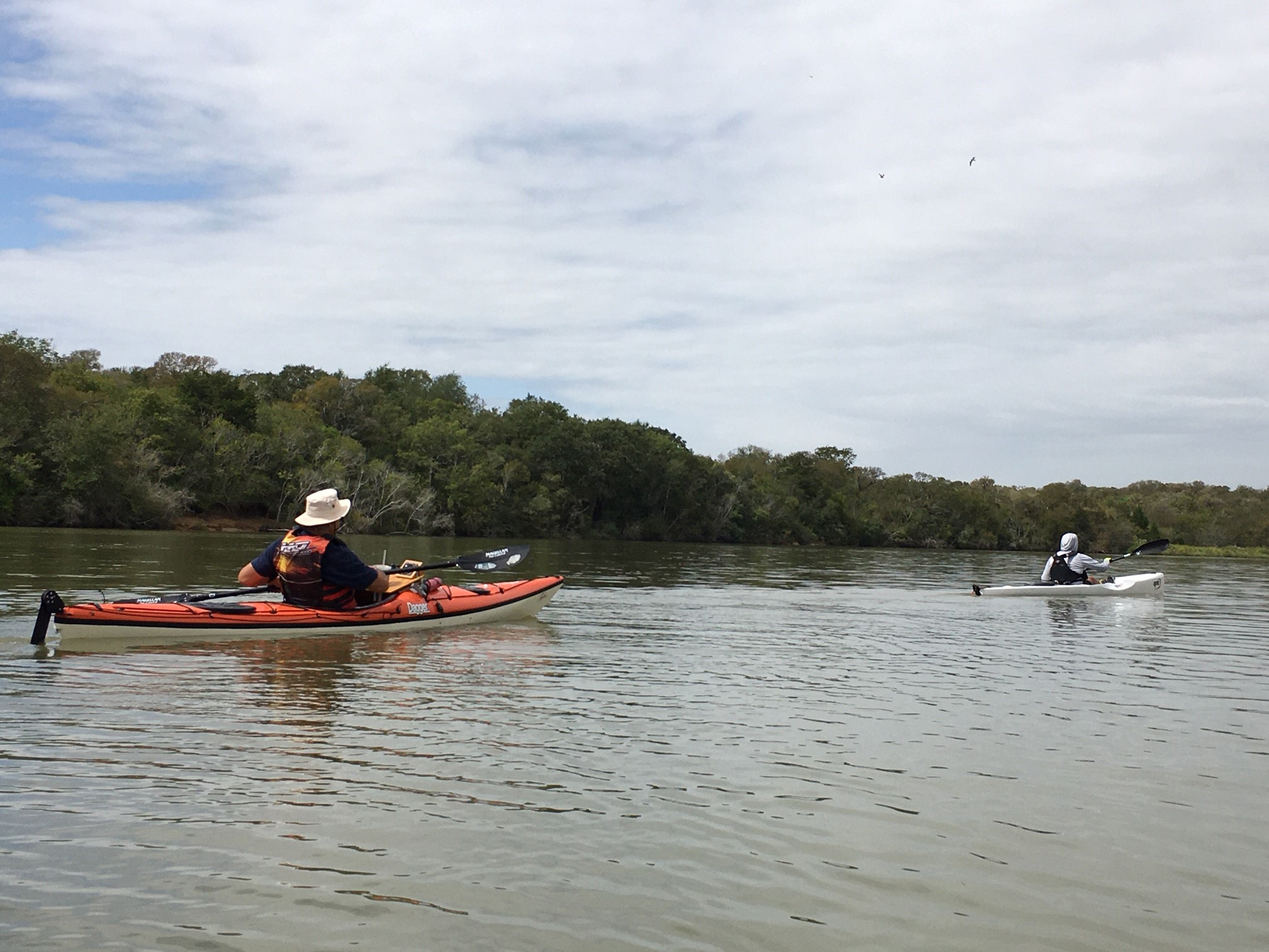 Up Cedar Bayou by Chris Arceneaux
Nice Weather by Chris Arceneaux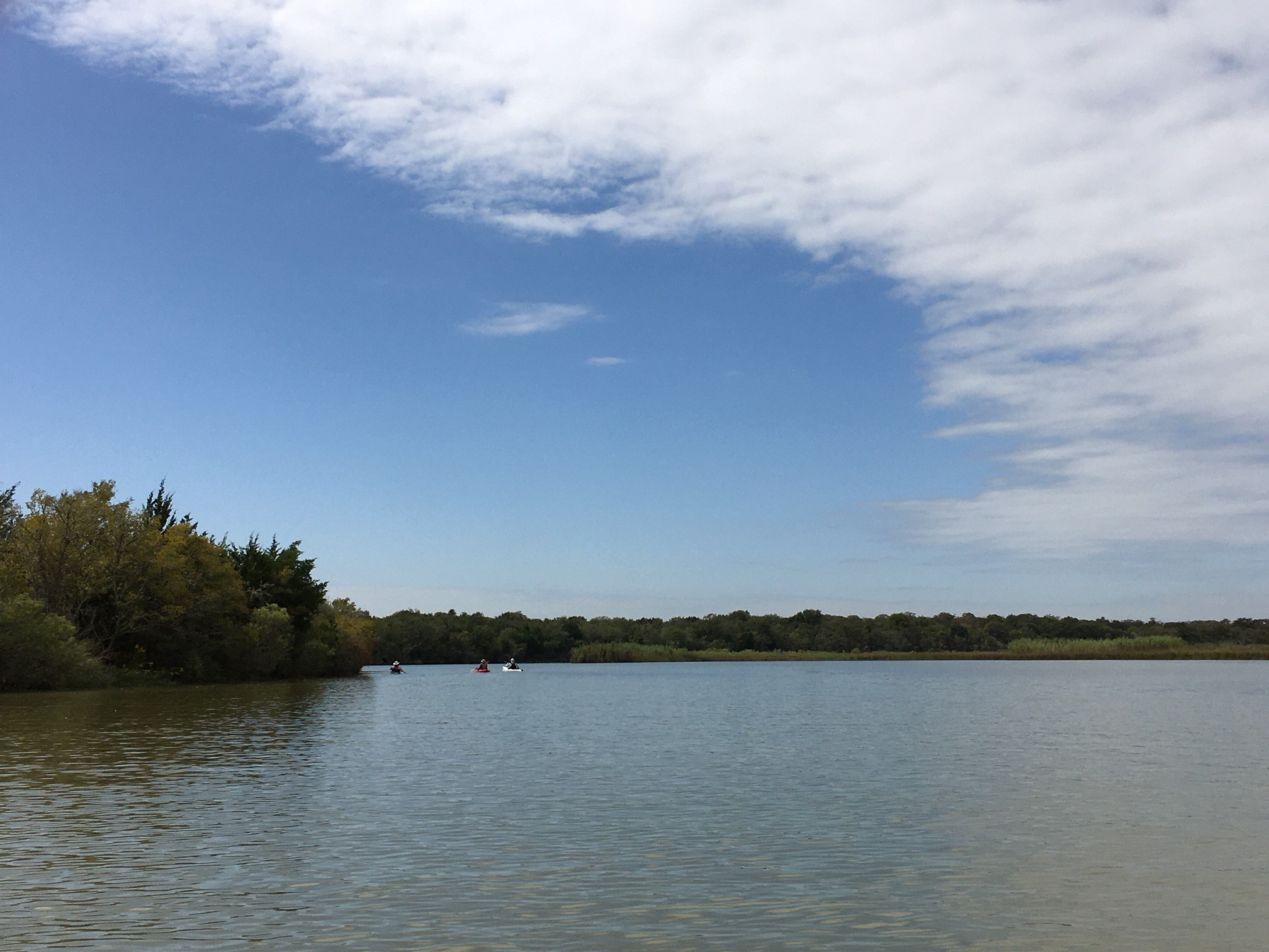
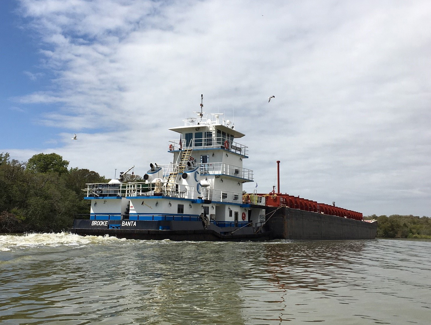 Passing Barge by Chris Arceneaux
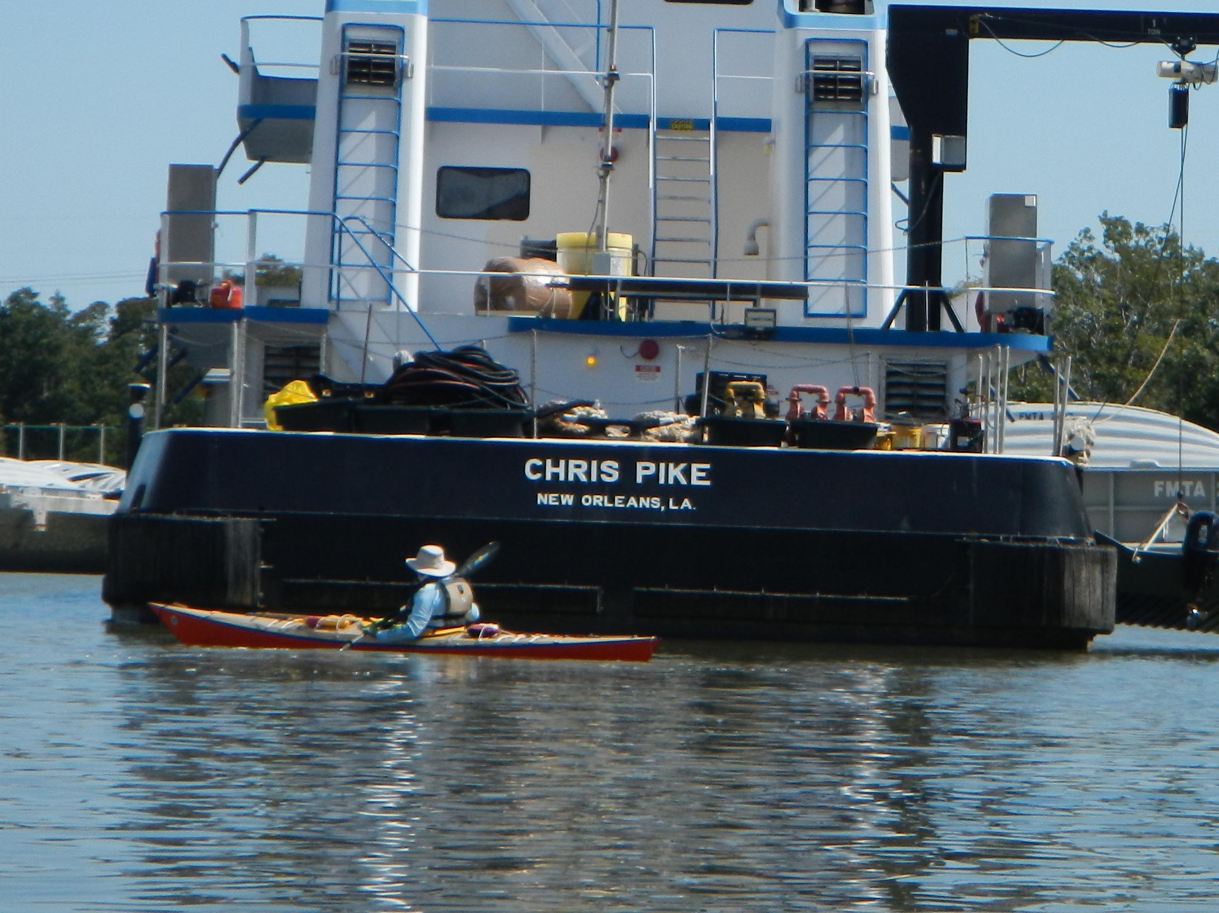 Chris with Chris by Tom Douglas
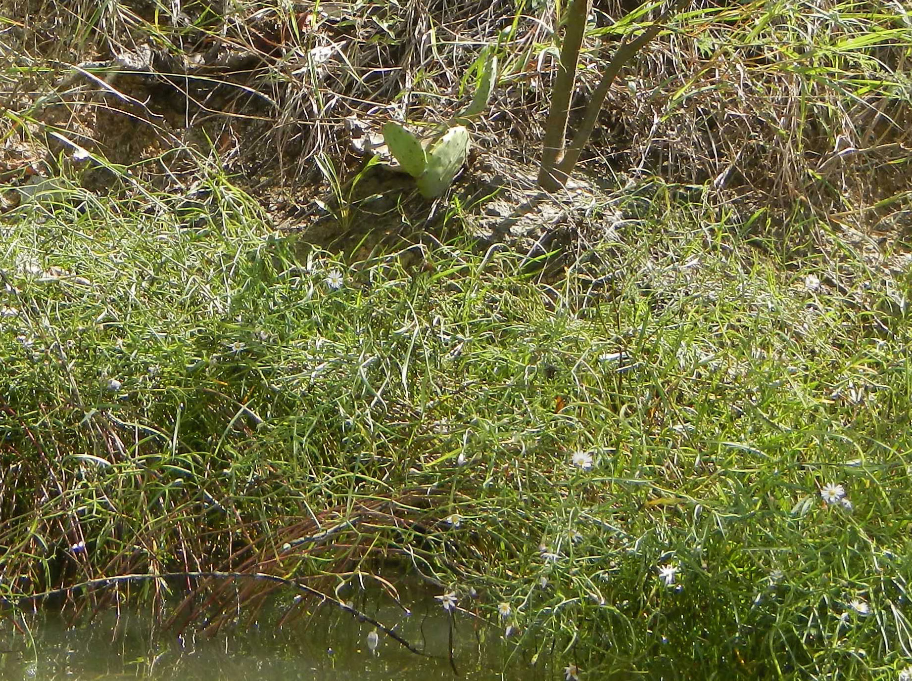
Desert Meets Bayou by Tom Douglas
Wildflowers were in bloom – lots of goldenrod and even a few patches of one of my personal favorites, wild cowpea. Oaks lined the bank in places. Then there was that sight that often surprises new paddlers to this area – a desert plant (prickly pear) growing right next to the water of a tidal creek.
Options for a short break up on shore were pretty limited, but we found a place a little ways upstream from that tricky spot for barge operators that goes by the name of Devil’s Elbow. Back on the water, we quickly arrived at the cooling water intake canal for the NRG Cedar Bayou Generating Station. This led us almost straight back to the bay, a little to the north of where we had started the day. The weather had been fine all day, and the light breeze from the northwest allowed us to cut directly across open water, back to Thompson’s.
Total mileage for the trip was 8.1 miles.
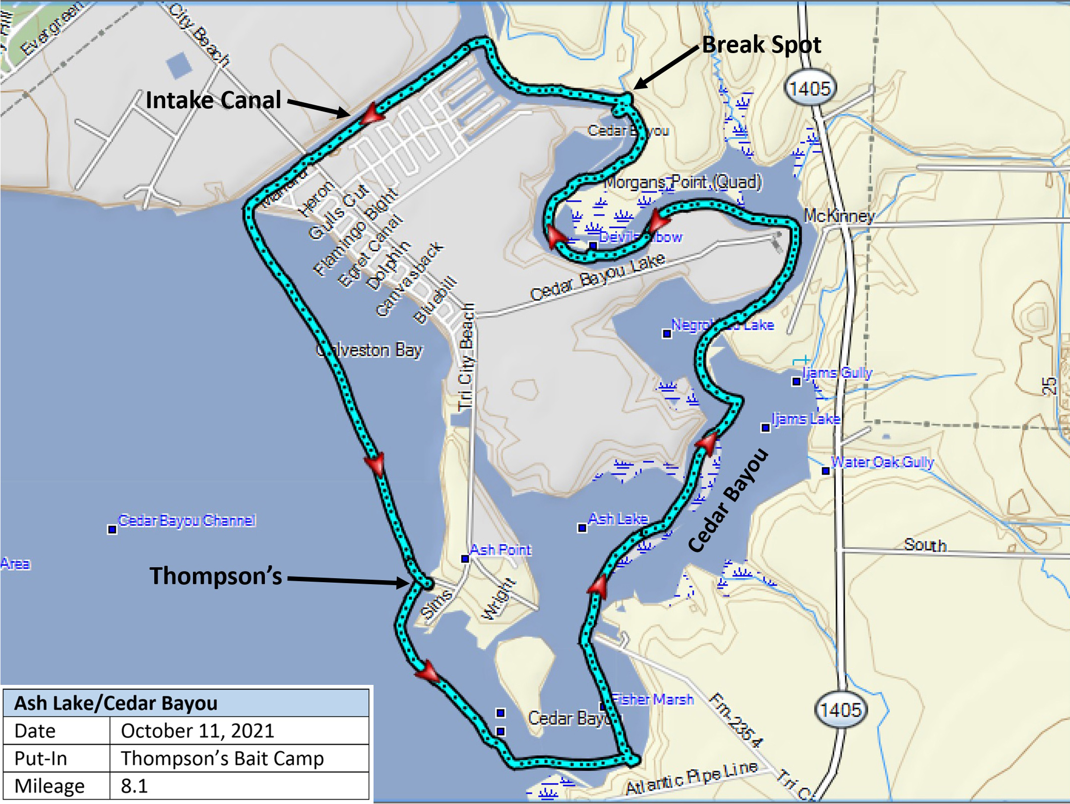 GPS Track by Tom Douglas