The Backbone Trail Opens Up the Wilder Side of Los Angeles
A seemingly endless metropolis gives way to epic peaks and valleys

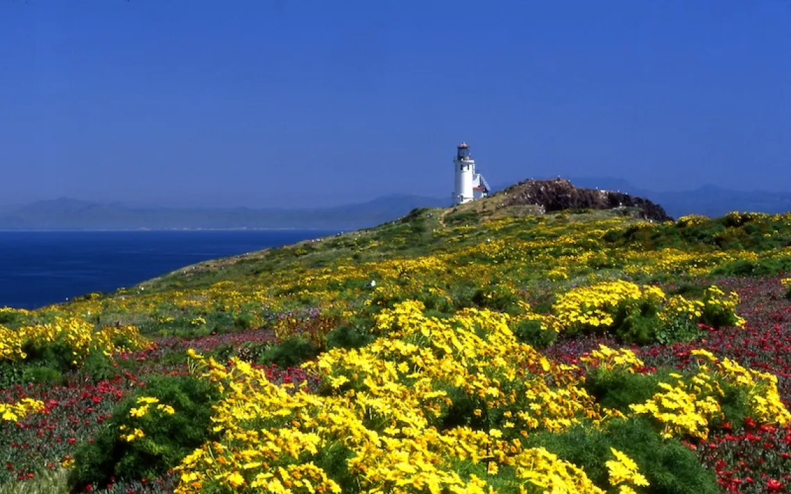
Little Sycamore Canyon along the Backbone Trail, Santa Monica Mountains | Photo by Jim Shoemaker
The Santa Monica Mountains can be spotted from virtually any neighborhood in Los Angeles. Brownish-green slopes snaking through the maze of the metropolis, they are constantly filmed and photographed—the backdrop to thousands of television shows and motion pictures, standing in for the Old West, distant planets, Korean battlefields, and Irish meadows. Millions of Southern Californians whiz through them every day via the broad freeway notches of the Cahuenga and Sepulveda Passes. Yet few locals truly understand what lies within these mountains—one of the only ranges to bisect a major U.S. city.
I resolved to walk the length of the Santa Monicas: a 119-mile, six-day journey from the easternmost point, near Dodger Stadium, to the western oceanic climax. The first two days, I improvised a route using trails, residential streets, bushwhacked hillsides, and the winding strip of asphalt called Mulholland Drive, after which I found my way back to a road, an Uber car, and my own bed. For the last four, I packed a tent and backpacked the wilder path along the magnificent western end called the Backbone Trail. What I found there was an unexpectedly brambled and gorgeous place crouching in plain sight.
I began my journey as so many do in Los Angeles: trapped by the Golden State Freeway. I started at the base of a giant embankment, standing astride a freeway connector; the hum of morning traffic buzzed in my ears as I made a Frogger-like dash across the lanes and jumped the concrete divider into a little trench choked with garbage and weeds. After scrambling up brittle clay covered with coastal sage, I reached a scruffy plateau called Point Grand View Park and was rewarded with a gorgeous vista of the pinnacles of downtown L.A. and the broad panorama of the snowy San Gabriel Mountains—big brothers to the Santa Monicas—to the east. There is a curious lack of focus in this immeasurable urbanized basin. Perhaps this is why L.A. is often called the most photographed and least remembered city in the world. There is no zero marker. No sense of completion.
I bushwhacked down a eucalyptus slope, crossed through Elysian Park with its neglected grassy fields, and walked through the neighborhoods of Echo Park and Silver Lake with their funky mishmash of architectural styles and their resident blend of old Angelenos and web developers. Griffith Park, the gift of a boozing gold miner, is where the mountains begin to show their pitch and seriousness, rising from the municipal chaparral. Park roads lead on to the giant white letters and their infamy: HOLLYWOOD.
I made my way to Mulholland Drive, named for a legendary water engineer and home to the mega-rich, and beyond it to the curious western stretch known to locals as "Dirt Mulholland," where the pavement stops.
On the third day, I shouldered a pack and started up the Backbone Trail—a multiyear effort by the National Park Service to build a 67-mile hiking path that now connects Will Rogers State Historic Park to the Pacific Ocean. I followed the Musch Trail down through a series of muddy gulches and then into a meadow above the village of Topanga, which in the late afternoon looked as soft and dappled as any English fairy tale.
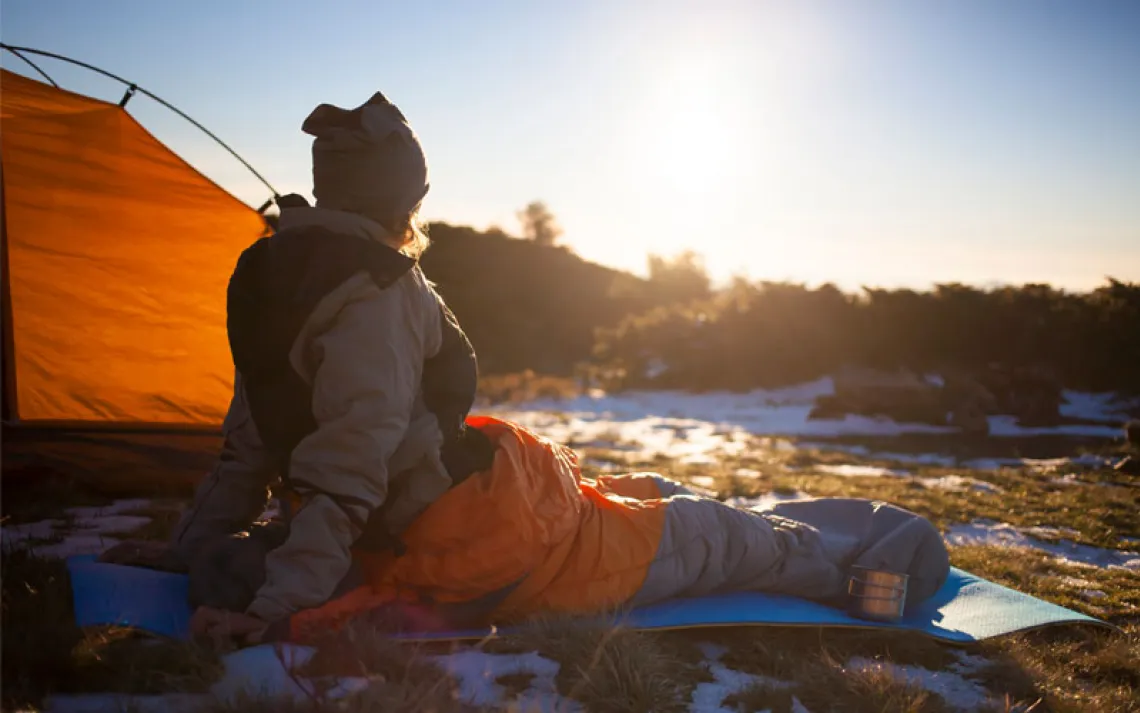
The next day, the enjoining tug of the trail and the anticipation of warmth through exertion compelled me on into the freezing morning.
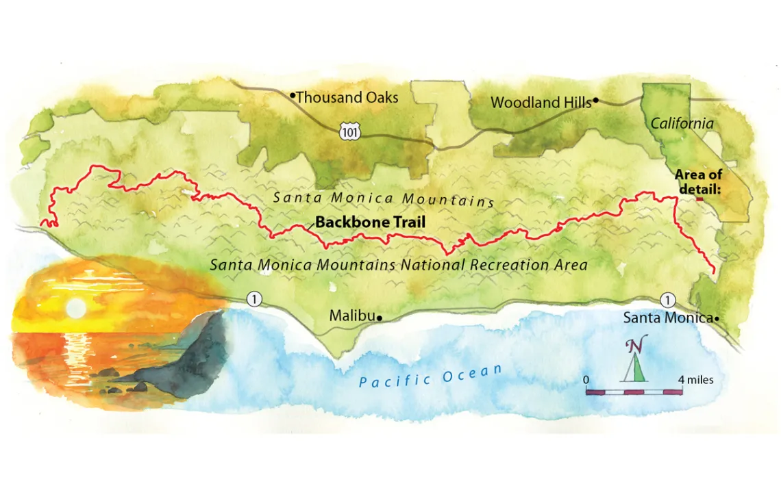
Map by Steve Stankiewicz
Through Hondo Canyon, I moved upward to a hard-looking ridge. The trail was framed with black walnut trees and occasional patches of moss. Once won, the crest offered a paved road above Malibu and a view of Calabasas Peak. The summit was more like a mesa, and I could see the Los Angeles basin like never before—the downtown that absolutely refuses to disappear, the slate of azure ocean water in the foreground.
From there, it was a long way down the eastern side of Malibu Canyon, the only complete cleft in the entire chain of mountains, recognizable from the opening scenes of M.A.S.H.
With the exception of some hard climbs out of Kanan Dume and Malibu Canyon, the rest of the trail was relatively level, making impressive cuts through biodiverse zones of scrub oak, creeping wild rye, and sumac, and through forests of alder and walnut to the windy, foggy scenic climax of the Santa Monicas: Sandstone Peak at 3,111 feet.
On the sixth and final day, I walked past the craggy formations of Boney Mountain, which looked like a frozen shipwreck, and through the aridity of Big Sycamore Canyon to one last high berm before the Pacific Ocean—blue neon in the afternoon sun.
After a winding descent down La Jolla Canyon that felt like a victory lap, I crossed the Pacific Coast Highway and jumped into the cold surf, ignoring the rocks. They didn't bother me after a traverse of some of the best- and least-known mountains in the West.
Take a Sierra Club trip to California. For details, go to sierraclub.org/adventure-travel.
This article appeared in the November/December 2017 edition with the headline "The Wilder Side of Los Angeles."
WHERE The Backbone Trail, Santa Monica Mountains National Recreation Area
GETTING THERE The east end of the trail begins at Will Rogers State Historic Park in Pacific Palisades. Follow the dirt road just to the west of the horse stables. Access the west end of the trail from the Ray Miller Trailhead in Point Mugu State Park, off the Pacific Coast Highway.
WHEN TO VISIT The best time for through-hikes is October. Expect lots of sun and hot weather the rest of the year. Wildflowers bloom between February and April.
CAMPING There are few legal camping spots. Try for stops at Topanga State Park, Malibu Creek State Park, and Circle X Ranch Group Campground (10-person minimum).
SURVIVAL TIPS For through-hikes, cache water in at least two places and food in one. Do not try to take the route over Castro Peak; you will hit a barbed-wire gate.
SUGGESTED READING The novelist Carolyn See satirized life in the Santa Monica Mountains—and the village of Topanga, especially—in Golden Days (University of California Press, 1986).
MUST SEE The rock formations at the top of Latigo Canyon look amazing in the moonlight, and the view from Sandstone Peak is unforgettable.
MORE bit.ly/latrail