After the Deluge
The recent flooding in California points to life in a warmer world
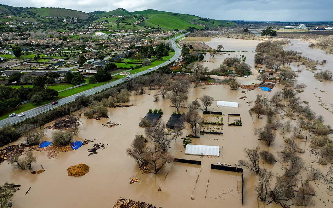
Floodwaters along River Road in Monterey County, California, as the Salinas River overflows its banks on January 13, 2023. | Photo by Noah Berger/AP
By the time Montecito fire chief Kevin Taylor held a press conference to issue a mandatory evacuation order affecting 10,000 residents, it had been raining for almost 24 hours. During that time, according to Santa Barbara County’s Public Works, between eight and 12 inches of water had fallen from the sky. When Taylor spoke on January 9, another in a rapid series of high-volume atmospheric rainstorms was pounding California. All that water, Taylor warned, was heading downhill via several canyon-fed creek systems into the well-heeled celebrity enclave nestled between the Pacific Ocean and the Los Padres National Forest just east of Santa Barbara.
Almost exactly five years earlier, at around 3 a.m. on January 9, 2018, a similar rainstorm had unleashed a flood of water through several canyons above town, which crumbled the hillsides and slid downhill in a massive carpet of destruction. The slide permanently changed the town’s geography as it destroyed or damaged 500 houses, stranding 1,000 people and killing 23 people, including two whose remains were never found.
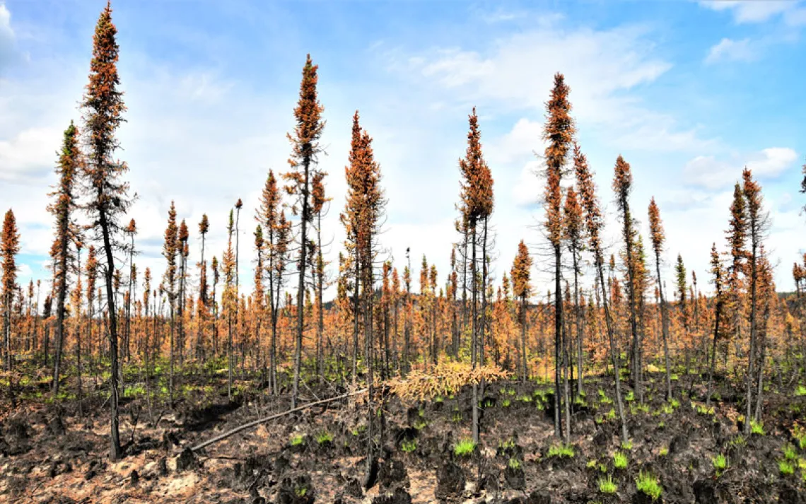
Experts say that an undeniable pattern of global warming will only make those storms more intense and more frequent. The same warming is also fueling a megadrought in the American West, which has led to annual wildfires that, as in the case of Santa Barbara’s Thomas Fire five years ago, make hillsides more prone to erosion and lethal debris flows.
Montecito is an example of how one community faced the environmental and infrastructural challenges facing the entire state of California. On the one hand, programs there demonstrate a success story in community resilience. Since the 2013 mudslides, Montecito’s residents organized themselves to prepare for the next catastrophe. As bulldozers and trucks cleared heavy debris and car-size boulders from local streets, local volunteer groups such as the Santa Barbara Bucket Brigade helped literally dig their neighbors out of the mud. Other residents formed the nonprofit Partnership for Resilient Communities, which raised $2 million to build and obtain the necessary permits for a network of Swiss-designed steel debris nets, several of which have already been situated at key choke points in the canyons above town. During this January’s storm, the nets held firm, filling up with rocks and debris and damming the water, thus preventing potentially lethal landslides.
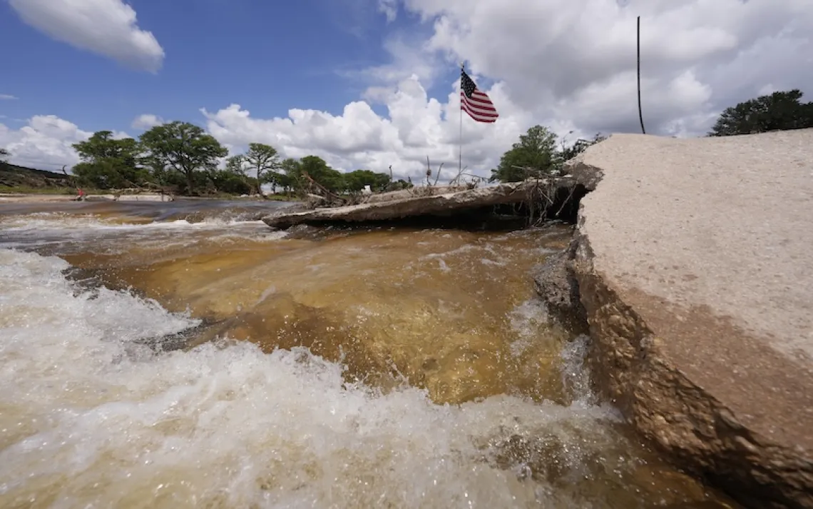
Other communities were not as lucky, nor as well-off to implement such programs. The deluge wreaked havoc across the state, with thousands of residents losing power as aging utility lines gave way. Forty-one counties were placed under emergency declarations, with more than 400 landslides recorded across the state and flood advisories issued for three counties along the Sacramento River. Coastal flood warnings were issued for counties stretching from Monterey County to the Mexican border.
With warmer temperatures, Southern California is particularly vulnerable to flooding from storms. A study by the University of California, Irvine, released last October and published in the journal Nature Sustainability revealed that flood risk is far more widespread than suggested by federal estimates, with low-income and marginalized communities including the homeless particularly at risk. According to the report, a 100-year flood event in Los Angeles would endanger the lives of more than 400,000 people and cause more than $50 billion in property damage, losses comparable to the most destructive recent US tropical cataclysms on record: Hurricanes Katrina in 2005, Sandy in 2012, and Harvey in 2017. The UCI study also found that Black residents of LA County were 79 percent more likely than white residents to be living at risk of waist-high flooding, with Latinos and Asians 17 and 11 percent respectively more likely.
The storms may also fail to move the needle on California’s historic drought. For example, before this month’s storm, Santa Barbara’s reservoir, Lake Cachuma, which is connected via the State Water Project (SWP) to Lake Oroville and the Sierra Nevada snowpack, was at just 30 percent capacity. In the past few years, the local water districts that depend on this water have received only 5 percent of their annual allocation. The series of atmospheric river storms that began in late December, however, rapidly doubled Lake Cachuma’s volume. As Cachuma maxed out during this latest storm, Santa Barbara’s Public Works were forced to open the gates of Bradbury Dam, thus allowing Cachuma to flood into the Santa Ynez River and the surrounding landscape.
Not all of that volume spike came from water, unfortunately. Heavy rainstorms, especially those that follow in the wake of wildfires, insert a massive amount of silt and debris into California’s reservoirs, observes Floyd Wicks, a longtime water engineer in California who now serves as director of Montecito’s water district.
“With all the fires upstream from Cachuma Lake and the intensity of the rain, there is no doubt a lot of silt and debris and ash is swept in there and is now part of the stored water,” says Wicks. The same problem affects nearby Jameson Lake, which is owned by the Montecito Water District. “That reservoir was built about 100 years ago, and about a third of the volume is silted up. When the dam was built, the original capacity of Jameson was about 7,100 to 7,200 acre-feet of water, and now when the reservoir is filled, it only has about 4,900 acre-feet and the rest is silt.”
Although any water that spills out of California’s network of reservoirs in the wake of major rainstorms will help replenish local groundwater basins, much of it simply washes out to sea, adds Wicks. On top of that weather-related dilemma is the fact that California’s snowpack-dependent reservoirs, as well as its other major source of water, the Colorado River, is subject to global-warming-related evaporation.
“When Lake Cachuma is full like it is now, the annual evaporation volume is still more than what the entire city of Santa Barbara uses in a full year,” says Wicks, who adds that the Colorado River typically loses up to 2.5 million acre-feet of water per year due to heat-related evaporation. Although the Sierra Nevada’s snowpack is estimated to now be at twice its normal level for this time of year, warm spring weather will likely cause most of it to simply melt too fast to adequately replenish California’s reservoirs.
“It’s a statewide issue,” says Wicks. “If there is an early warming in the spring, that snow won’t be there and won’t help anyone. That’s why the whole state really needs to look at some sort of guaranteed source of water supply, and I am sold on that without question.”
When Wicks joined Montecito’s water board in 2016, he helped push through a 50-year water-sharing agreement with Santa Barbara, allowing the town to access up to 40 percent of the water created by the city’s desalination plant, which was built during a drought in the early 1990s but quickly shut down for cost and supply reasons. The deal means that Montecito will no longer have to rely on paltry supplies from the typically unreliable State Water Project.
“With the water situation and warming trends in California, climate change is always happening,” Wicks says. “We looked at our long-range planning and made a conscious decision to get part of our supply portfolio in a non-rainfall-dependent source, and the only other source around here is right in the ocean. It’s a comforting thing to have.”