The End of Mr. Go
The death of a shipping channel is the rebirth of a swamp

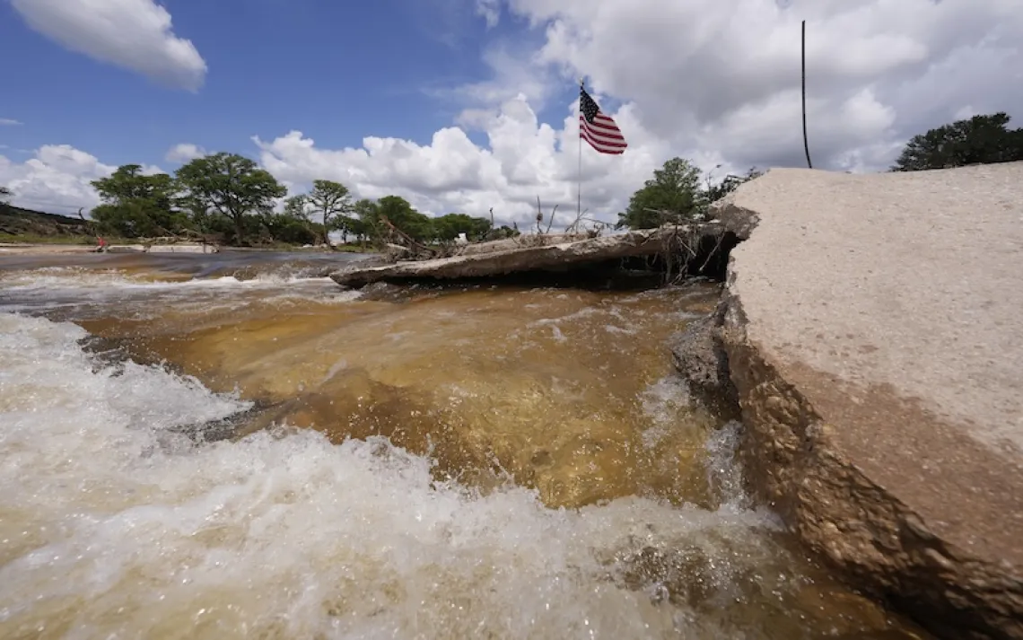
MRGO as seen from above. | Photograph by Gerald Herbert | AP
As a child in the mid-1950s, John Taylor used to sneak out of his house, hike up the earthen levee on the north side of New Orleans’s Lower Ninth Ward, and head into the swamp on the other side. He’d set out in a flat-bottomed pirogue, fishing for turtles and bass. The swamp was so thickly wooded with cypress trees, he remembers, “You didn’t even need a paddle for your boat. You’d grab the trees and pull yourself all around through there.”
Today all that’s left is shallow water. In 1965, New Orleans was hit by Hurricane Betsy, a Category 4 storm that breached the levee system and flooded the Lower Ninth, and the swamp, with saltwater. The cypress trees began to die, leaving behind a forest of naked trunks that residents took to calling the Dead Swamp. Today, looking north from the swamp’s southern edge, all that is visible is open water, murky and covered in rafts of water hyacinth. The stumps are still there, says Taylor, just below the surface.
The swamp wasn’t just a place to find food, although Taylor was just one of many people who caught dinner out there. Swamps protect coastal communities from the wind and surges and hurricanes. That role has become only more important as climate disruption has led to more frequent, intense storms. When Taylor was a kid, he says, the blocks just inside of the levees were all houses. “People owned their houses, most of them. And if you rented, you rented from Blacks.” The Lower Ninth had the highest percentage of Black homeowners in the city.
Today, the land behind us is mostly house-sized patches of mowed grass, with a handful of buildings on each block. The homes were destroyed by Hurricane Katrina, which struck New Orleans exactly 40 years after Betsy. Most of the Lower Ninth was destroyed, and even after the city cleared the debris, the neighborhood has never been rebuilt.
After Katrina, Darryl Malek-Wiley, an environmental justice organizer with the Sierra Club, remembers, national lawmakers asked, “Why rebuild New Orleans, if it’s surrounded by water?” But that question ignores the historical context, he says. New Orleans has a problem with water because the federal government put the water there. For decades, the US Army Corps of Engineers sacrificed the natural barriers formed by marshlands in order to facilitate ship traffic. One such sacrifice began in 1958, seven years before Hurricane Betsy made landfall. The Army Corps of Engineers began to dig a channel 36 feet deep and 500 feet wide between the Mississippi River and the Gulf of Mexico, punching a hole through cypress swamps, low ridges, and marshland. Its formal name was the Mississippi River–Gulf Outlet Canal, but locals called it MRGO, or, informally, “Mr. Go.”
Mr. Moses and the shipping canal
Mr. Go was touted by an unlikely group of supporters, including New York highway apostle Robert Moses. The idea behind the canal was that instead of navigating the mouth of the Mississippi River and the roughly hundred miles upriver, deepwater ships traveling between the Gulf of Mexico and the Port of New Orleans could take a 76-mile direct shot.
Residents living along the canal’s path in Orleans and St. Bernard Parishes were promised jobs when the ships began to roll in—there were even plans to build a massive new “Centroport” spanning the two parishes. At the time, computer modeling didn’t exist to study how the new channel might affect storm surges, but residents along its length warned public officials that the new channel would make their neighborhoods more vulnerable to flooding. After Betsy breached the levees just a few years after the canal was completed, the first signs of the damage became clear. The cypress swamp outside the Ninth Ward died over the course of about 10 years, Taylor remembers.
But, said Aaron Viles, now the chair of the board of the environmental nonprofit Healthy Gulf, who wrote several reports on local canal projects for a previous employer, the concerns—and knowledge—of the community were rarely, if ever, acknowledged by the corps or elected officials. “It was a federally authorized shipping project. Once those things are created, they have a lot of momentum,” he said. “That thing was just coasting, and it was going to take something big to throw it off track.”
An economic and ecological disaster
As economic development projects went, MRGO was a bust. In 2002, according to a report from Sea Grant Louisiana and Louisiana State University, an average of five deepwater vessels used the channel each day.
Meanwhile, the neglected Mr. Go was taking bites out of the surrounding wetland. “Every time the tide comes up in the Gulf of Mexico,” John Lopez, a conservation scientist, former Army Corps of Engineers worker, and leading light of coastal restoration, explained, “there’s a surge of water coming up the channel that’s bringing almost pure seawater straight into the swamps.” The salt killed plants that lived in fresher water, gradually converting the wetlands around the canal into open water.
By 2005, parts of the channel had expanded to 3,000 feet across. Where wetland remained, it became too salty to support the cypress. Deep inside the former wetland, Lopez found that dead trees had become oyster habitat. “That’s not a natural combination,” he said. “Oysters should not be growing on cypress trees.”
Hurricane Katrina arrived later that year, and it was the storm that residents had warned of. When Katrina passed to the east of the region, the storm surge was driven up the length of Mr. Go and straight against the levees of New Orleans and St. Bernard. The storm’s surge overtopped the eastern levees of St. Bernard, and water inundated almost the entire built area of the parish, killing 164 people. Mr. Go wasn’t the sole reason the levees broke. New Orleans’s levees also suffered from engineering and maintenance defects and ruptured in several other locations. But the highest concentration of deaths from the storm was in Taylor’s Lower Ninth Ward, where the water entered the neighborhood with such explosive force that it ripped houses from their foundations.
In the aftermath of the disaster, a coalition of fishing communities in St. Bernard, neighborhood associations in the Lower Ninth Ward, and environmental groups called for Mr. Go to be decommissioned and turned back into marshland. They organized into a coalition called the MRGO Must Go and filed a lawsuit against the Army Corps. John Lopez, by then working for the Pontchartrain Conservancy, was one of them.
In 2009, a federal judge ruled that the corps had been negligent in its maintenance of MRGO. "The callous and/or myopic approach of the Corps to the obvious deleterious nature of the MRGO is beyond understanding," wrote Federal District Judge Stanwood Duval. "The Corps not only knew, but admitted by 1988, that the MRGO threatened human life, and yet it did not act in time to prevent the catastrophic disaster that ensued with the onslaught of Hurricane Katrina.… The Corps' negligence resulted in the wasting of millions of dollars in flood protection measures and billions of dollars in congressional outlays to help this region recover from such a catastrophe."
Little dam, big consequences
The Army Corps of Engineers built a rock dam on a pre-existing ridge midway along the length of the canal. It was intended as a procedural step for closing the channel to shipping traffic—like a row of cones on a highway.
In 2012, the corps released a plan for restoring the wetlands around MRGO. It called for installing miles of rock protection on the edge of the fragile marshland and filling parts of the channel itself with sediment dredged from nearby waterways. Once the channel was filled, it would be stabilized by planting grasses and sapling trees to hold the soil together and keep it from washing into the Gulf.
But no one could agree on how to pay for it. The state of Louisiana believed that the Army Corps of Engineers should foot the entire bill. The corps argued that the state should pay a portion. In 2016, a federal court ordered the state to pay 35 percent, but since then, Congress hasn’t set aside the federal government’s share of the costs. “The federal government needs to step up and make sure there’s justice being served for this channel,” said Amanda Moore, the deputy director of the National Wildlife Federation’s Gulf program.
Since the construction of the dam, a few other projects recommended in the corps’ MRGO restoration plan have gone forward. The problem, said Moore, is that “the movement that’s happening is largely getting paid for with funding sources from other disasters.”
The state has paid for key projects to create marsh and “armor” shorelines with rock barriers using the settlement from the BP oil spill or by separate federal grants. And the Lower Ninth Ward and St. Bernard Parish aren’t the only communities in Louisiana that need money to restore coastline in order to weather the rising sea levels and hurricanes that climate disruption is already bringing.
Lopez says that he doesn’t know of anything the scale of the MRGO restoration that’s ever been attempted in the US. One parallel might be the $10 billion, 35-year project to restore the Everglades watershed—but that was authorized by Congress in 2000 and is still in the planning phase.
Much ado about seedlings
So much damage has been done to the wetlands, Lopez said, that the ecosystem can’t just grow back. In the seaward part of the wetlands, oysters need hard surfaces to grow on and reestablish reefs. The former cypress swamp where John Taylor used to forage as a child has water fresh enough to support cypress trees—but any saplings need to be protected from nutria, an invasive rodent with a ferocious appetite for wetland plants.
Restoration seedlings need to be grown elsewhere. “You’ve got to buy the bare roots and put it in a pot, and water it for a year,” said Lopez. That’s only between $12 and $20 a tree, but then tree tubes, which stop invasive nutria from eating the saplings, cost a few dollars more per tree. Another $5 gets boats to bring volunteers out to dig the hole and put the tree in the ground, though costs rise if a site is more remote. Between site selection, placement, and post-planting monitoring, each tree costs somewhere between $25 and $40. Because the goal is to plant 200 trees per acre, the costs add up quickly, even with an all-volunteer workforce. The Pontchartrain Conservancy, along with other groups, has planted about 80,000 trees over the past 10 years. Which sounds like a lot, Lopez said, until you realize that so much swamp has been lost that it would take 1,000 years to reforest it at that pace. And without those wetlands, the flood risk remains high for neighborhoods nearby.
The swamp has surprises
But, says Lopez, a surprising thing happened during the eight years of arguing over who would foot the bill for restoring the wetlands. In fall 2020, the MRGO Must Go coalition released a report, coauthored by Moore and Lopez, that concluded that even the partial closure of the channel has had significant effects, specifically to do with the area’s waterways.
The Pontchartrain Conservancy has kept a collection of detailed maps of water salinity across southeast Louisiana going back decades. Seawater is about 35 parts per thousand salt. When MRGO was completely open, salinity along its length would fluctuate between five and 30 parts per thousand every day. Now, the water just inside the dam is about five parts per thousand, and the fluctuations are less dramatic. The salinity of the wetland has changed not just behind the rock dam but 70 miles inland, on the far side of Lake Pontchartrain, a 600-square-mile estuary. The former wetlands where oysters were growing on cypress stumps have returned to pre-MRGO salinity, as have surviving cypress forests farther inland.
All in all, the coalition’s report concludes that more than a million acres of wetlands have been affected positively by the rock dam. “We did not appreciate,” said Lopez, “how important that simple act of plugging a hole in the ridge would be.” It’s an unexpected and hopeful sign of what could happen with further restoration. “The closure of the MRGO has been such a reset that it’s like the table is set,” Lopez said.
Earlier in June, the state of Louisiana announced that it would spend hundreds of millions over the coming year to begin some of that work. Once complete, the projects are supposed to rebuild close to 4,000 acres of eroding marsh, 19 miles of protective ridge, and 11 miles of artificial oyster reefs.
Outside the Ninth Ward, John Taylor’s childhood swamp needs to be drained so that cypress trees can be planted. They’ll be the first trees to grow there in 50 years. But the water behind the Ninth Ward levee is fresh enough to support them already, and right now, there’s still a single living cypress tree on the levee’s banks. Taylor calls it Hercules.