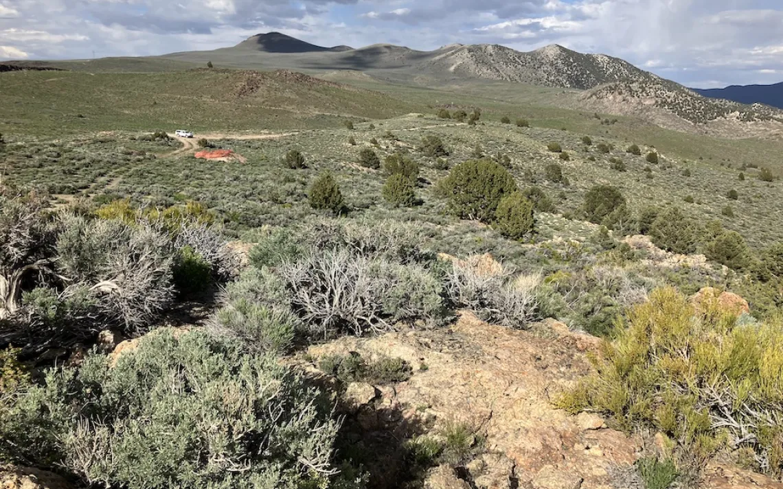
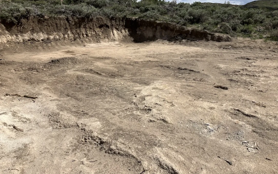
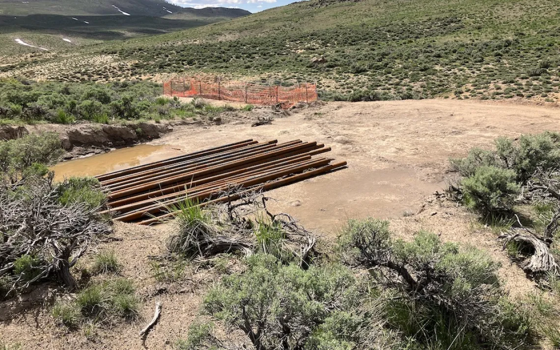
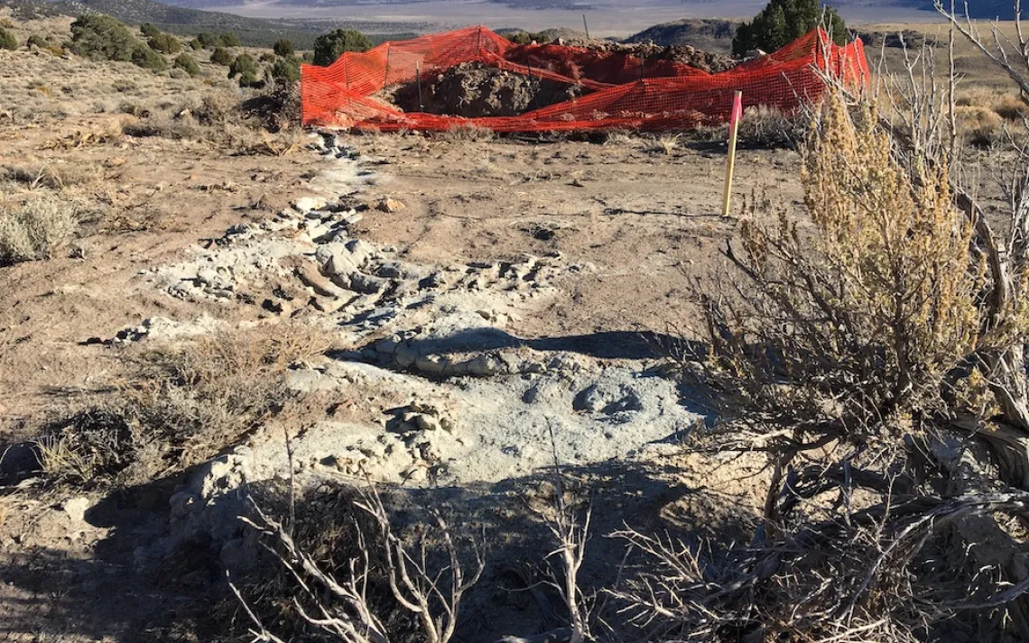
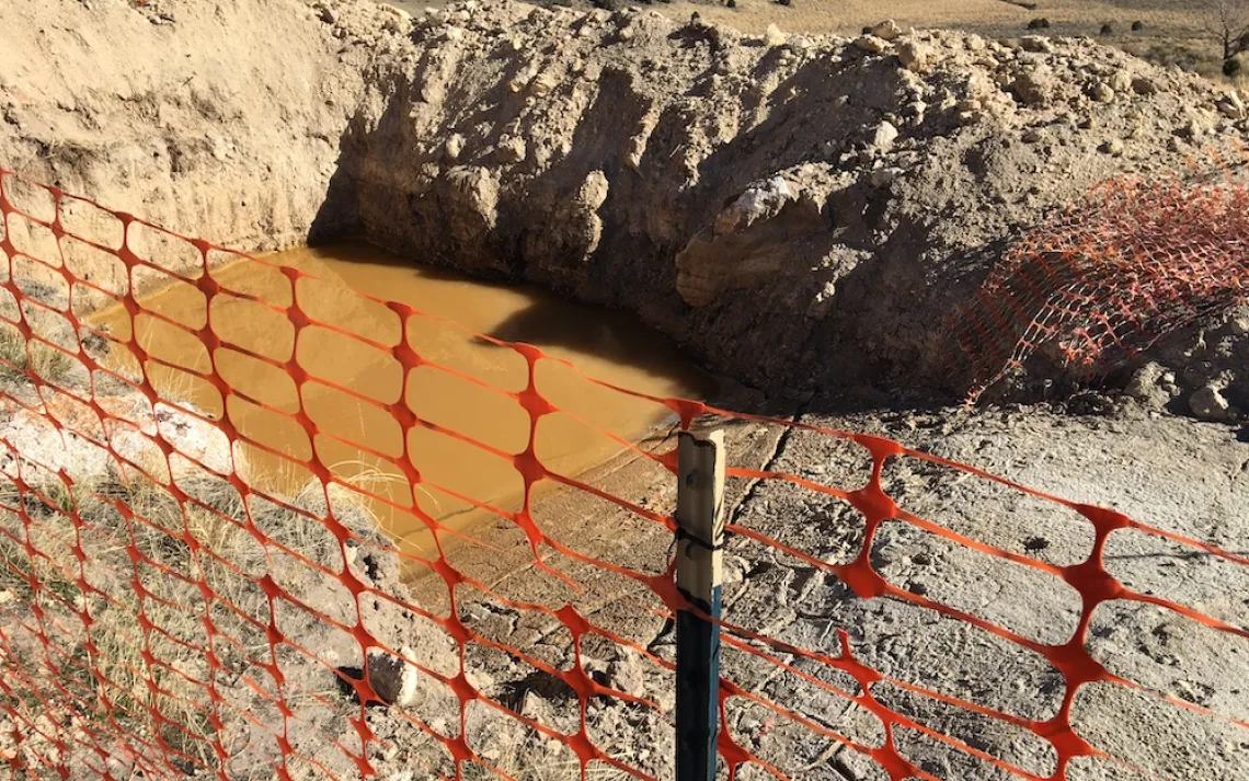
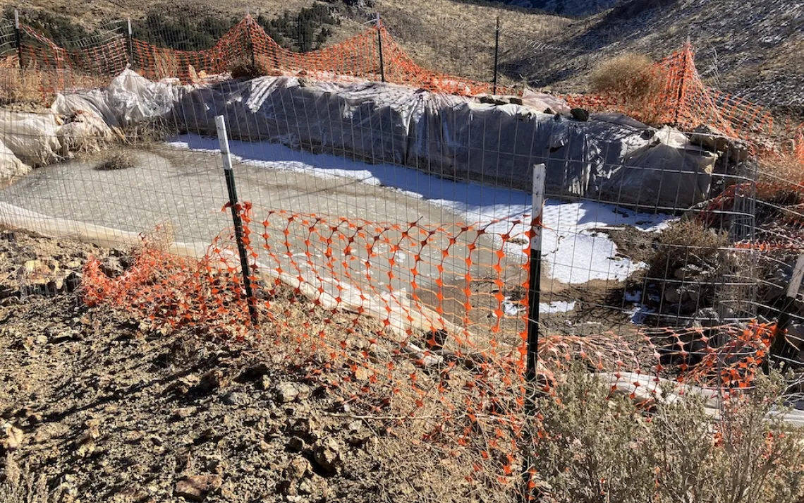
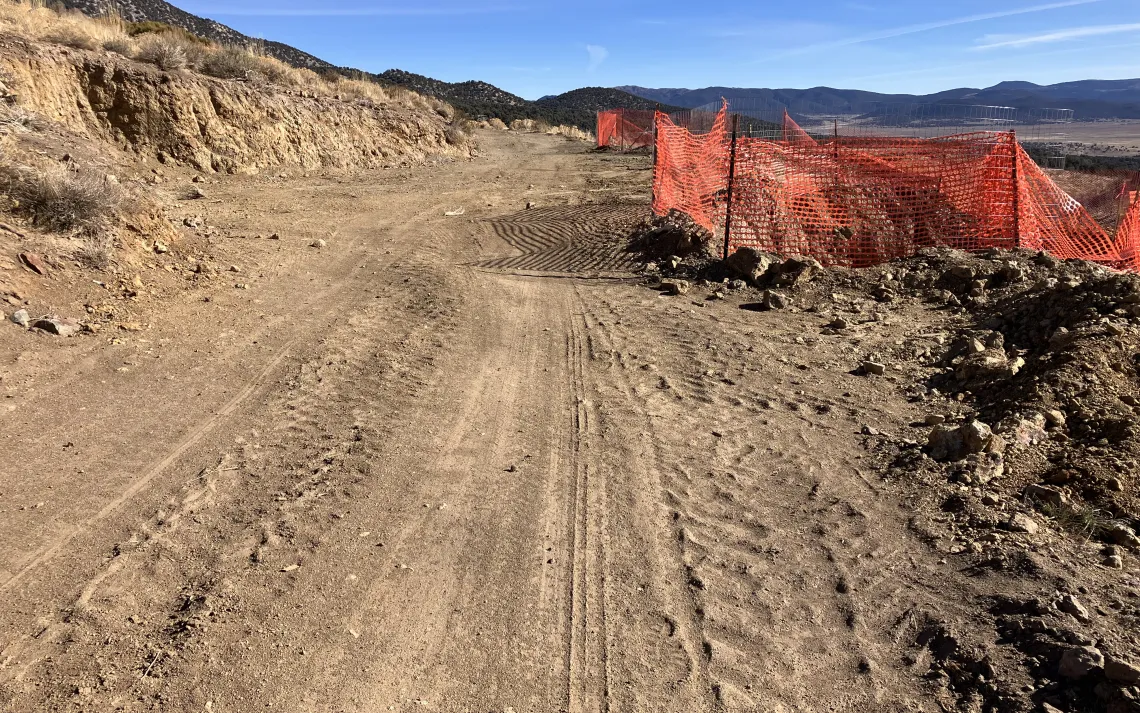
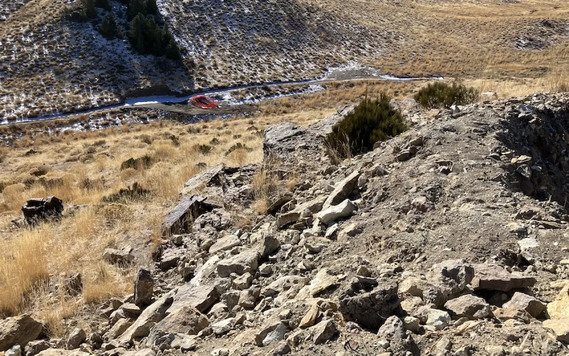
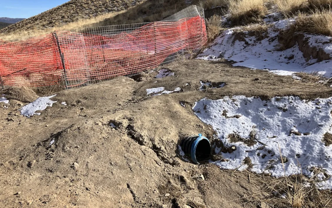
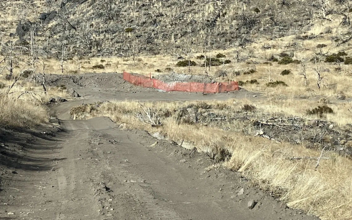
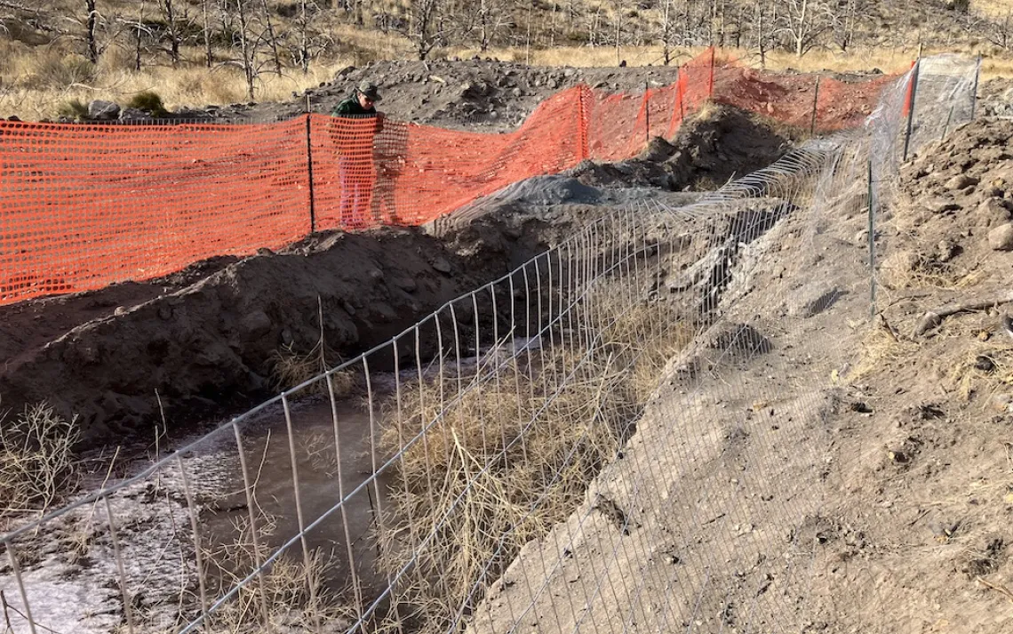
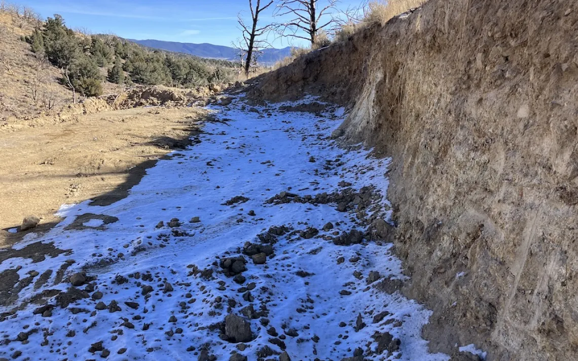
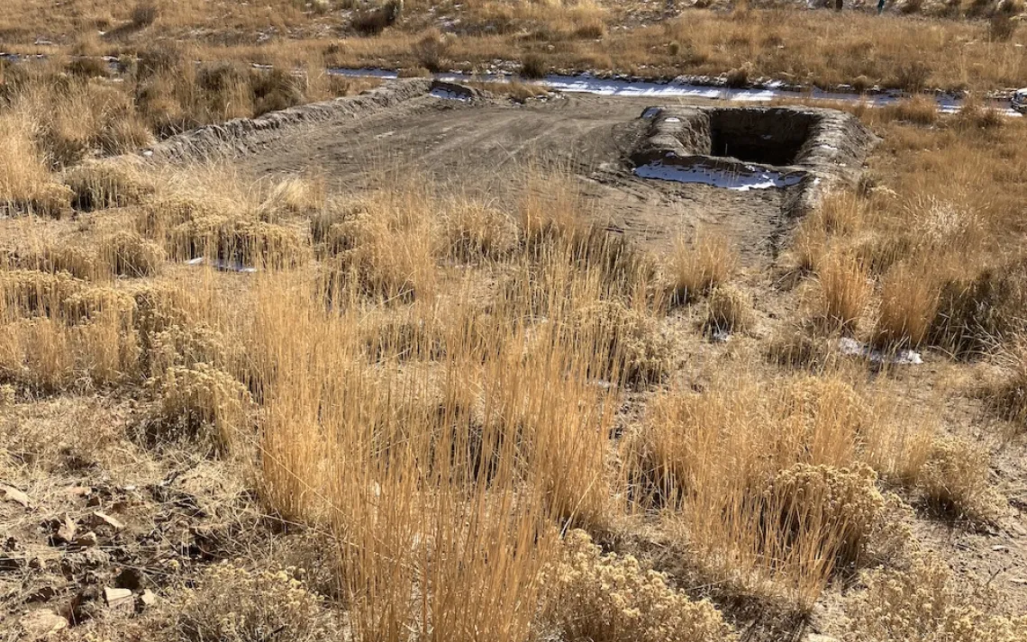
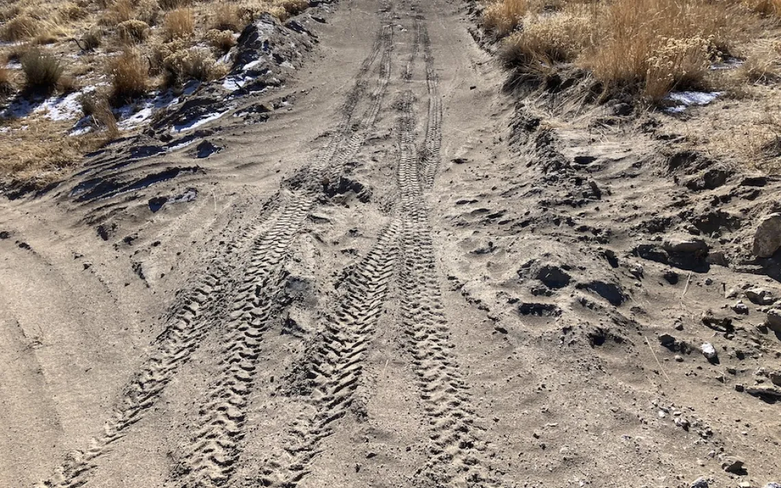
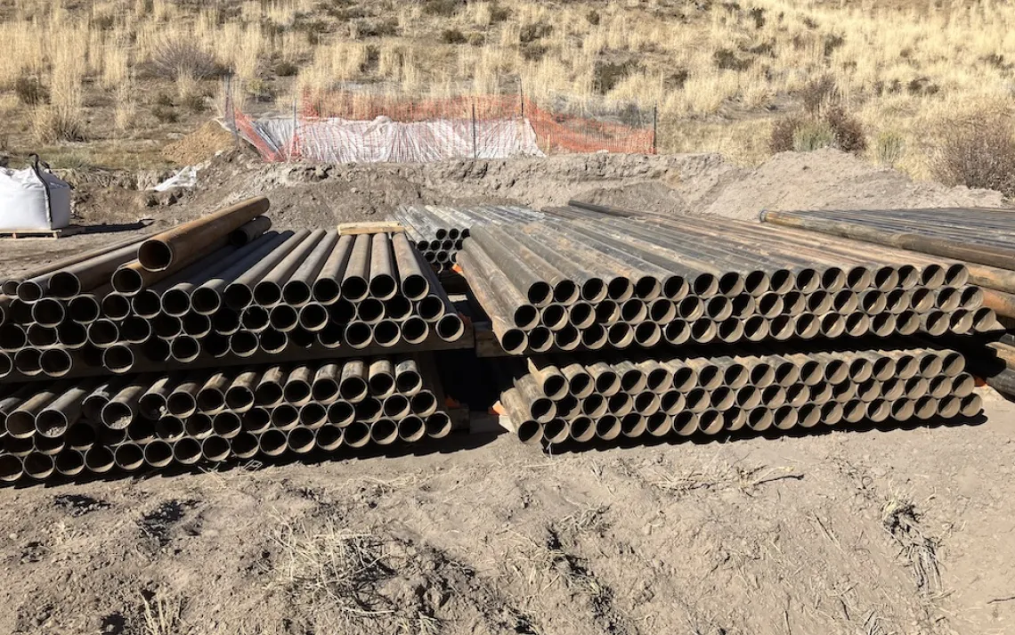
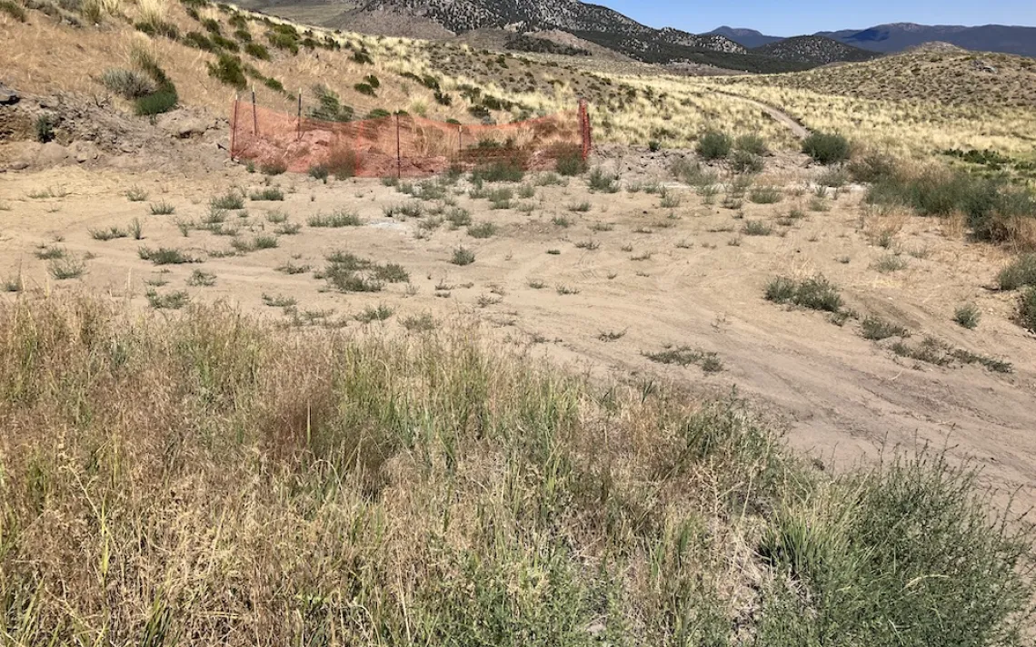
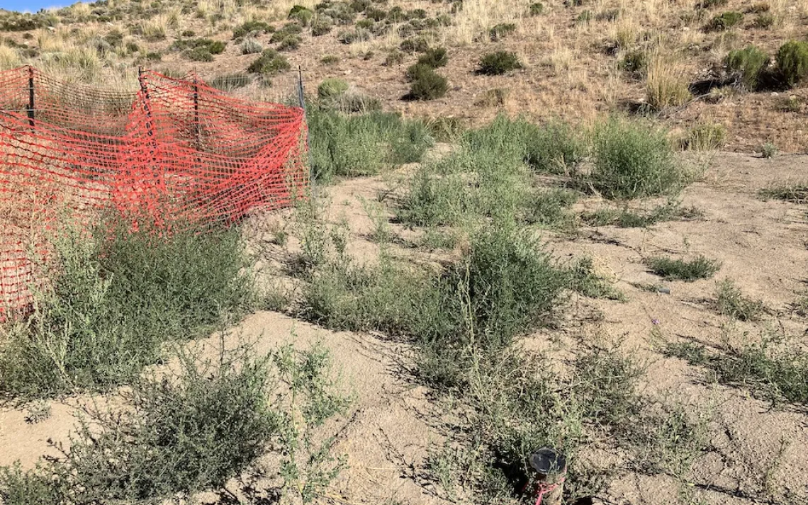
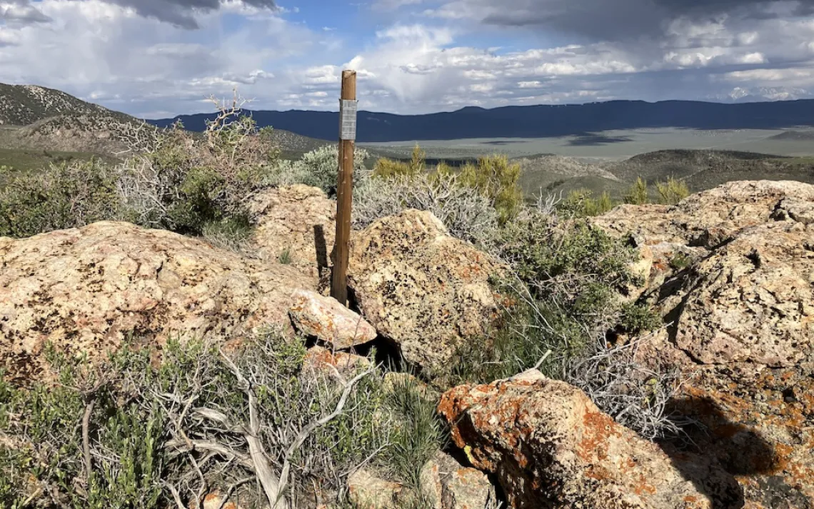
What Exploratory Drilling Looks Like at Spring Peak

Show All Slides

A view of the Spring Peak project area with drill site 2 and the staging area in the middle ground of the photo. Aurora Peak is the tallest peak in the background and Spring Peak is the smallest hill to the right with the slopes of Mt. Hicks in between.

The main drilling area of the Spring Peak Exploratory Drilling project is in the middle of the photo. Cedar Hill is the dark hill in the background. The White Mountains are to the left in the background and Mono Lake and the Sierra are to the right in the background.

View of the meadow from a ridge adjacent to the project area. The meadow in the middle of the photo is on private land.  East Brawley Peak is just out of view to the right. The CA/NV border cuts across it.

This meadow is adjacent to the project area. It is spring fed and has a stream running through it. It is on private property. Headwater Gold is leasing the land from the owners so they can drill on it. They've drilled at four sites at the end of the meadow and next to the road along the stream to the left, just out of view.

View of Spring Peak and an un-named peak we've nicknamed "Hairline Hill" with Mono Lake in between them. The sharp line of contrast between pinyon woodland  and the grassland delineates the burn line. Both peaks were burned in the 2013 Spring Peak wildfire that was started by lightening.

A hillside full of wildflowers below the staging area of the project. It was an incredible display of color following the heavy winter. There was a claim stake in the middle of this hillside.

Phlox and milkvetch. 

A Boisduval Blue and a California Hairstreak butterfly on a sulphur buckwheat flower near drill site 3.

The staging area aka the lay down area was mowed to allow vehicles to park on it with the idea that the sagebrush would come back from the roots. For mowing to be successful, the sagebrush needed to be watered.

Two years after the staging area was mowed. The sagebrush won't be coming back from the roots. 

Staging area four years later. It was smoothed over and even the dead roots are gone. The staging area keeps getting bigger and bigger. 

The drill pad at drill site 4. There is no dirt piled up next to it to put back. This needs to be re-contoured, so they might just pull more of the upslope down to smooth out the slope.

The drill pad, drill rods, and a fenced in sump pit at drill site 4. The private meadow is in the distance. 

Drill site 2 after it was drilled. The grey is the clay material used in drilling and to plug the hole.

Sump pit at drill site 11. There was an ungulate track within the fenced in area because the fencing was down on one side.

Stinky sump pit at drill site 20. It smelled of sewage with a touch of chemical toilet smell. There were three stinky sump pits when we were last out there.

Drill site 19. The hillside was carved out, the road was widened, and the two sump pits are on the steep slope.

Looking down at drill site 18 from a drill site above it. Note the area cleared for parking to the right, the hillside cutout below the pinyons, and the new road below the Forest Service road in the stream drainage (intermittent stream) that was a second exit from the drill pad. Was the hillside cutout for dirt to create the drill pad or was it to make space for equipment?

Drain at drill site 18 that goes to the sump pit. There was a second drain at the edge of the drill pad emptying into the natural drainage. This pad is in the stream channel which is probably dry most years. This was an exceptionally wet year. Putting dirt halfway across the stream bed and drain pipes was not spelled out in the Plan of Operations. 

Drill site 24.

Very long sump pit at drill site 24. Dirt from it is piled up at the back of the drill pad. The surface disturbance should include the berms or piles of dirt in the calculation, not just the leveled pad.

Drill site 5.

A temporary road to one of two additional drill sites that were not in the Plan of Operations that was approved in the Decision Memo that was part of the scoping process under NEPA (National Environmental Policy Act).

Temporary road to drill sites 9 and 11 that was cut into the hillside for this project. Now there is a line of Russian thistle along the berm on the downhill side. 

Pronghorn also take advantage of the temporary road.

The Forest Service roads in the area were two-track roads with vegetation down the middle and were about 8 feet wide.

Now the Forest Service roads are wider, dustier, and void of vegetation. This is the same road as in the previous photo after it was bladed.

A mining claim stake.

Drilling supplies include polymers, grease, and water to drill and bentonite clay chips to fill the drill hole.

Water trucks refill at this water tank or at a smaller portable water tank.

Smaller, portable water tank to re-fill water trucks or for drilling if it is at the drill pad as this one is.

Drill rods at a drill site.

The Forest Service road to the project site was bladed, widened and smoothed out. 

Russian thistle is growing on the berm now, three years after this temporary road was cut out of the hillside in 2020. Russian thistle is an invasive weed known as tumble weed. This is occurring along the Forest Service roads that have been widened as well. When the soil is disturbed, the weeds move in. 

A temporary road will be put in across this slope to four drill sites that haven't been drilled yet. That road will also end up lined with Russian thistle.

This pinyon-juniper wooded slope survived the 2013 Spring Peak wildfire. It is one of the few patches of pinyon in the project area. Headwater Gold will be bulldozing a temporary road through it to drill site 3.

Collateral damage. An area was cleared of vegetation along the Forest Service road to the project site for a water bladder. It was removed. A portable water tank was put there instead so water trucks didn't have to go out the main highway to the large water tank. It has now been removed and the earth has been smoothed over. This was not included in the surface disturbance calculation.

Photo of sage grouse scat next to a tender young sagebrush bush. The sagebrush was coming back after the Spring Peak wildfire until the sheep passed through. Adult sage grouse eat the leaves of sagebrush. Sage grouse in and around the Spring Peak area. There are a few mating sites nearby.

Mule deer scat. Mule deer, pronghorn, and either wild horses or wild burros pass through the project area to get a drink from the two springs in the area or the stream running through the meadow.

This Western fence lizard lives in the rocks at the top of that wooded slope. In the spring, the rock pile is covered in variety of wildflowers.

Coyote tracks at Spring Peak near the project area.

Rabbit tracks in the snow. There were rabbit and mouse tracks running across the staging area along the roads at several drill sites, and in the brush.

Mouse tracks. Many different types of animals live in the area. We can see their tracks in the soft dirt or in the snow, their scat, burrows, and dust baths. Sometimes we even spot them or hear them. A pronghorn walked by the staging area once heading towards the stream in the meadow. Once we heard a rattlesnake rattle outside the open window as we drove by. We watched a horned lark sit on a rock on our last visit. Spring Peak is home to many species of plants and animals.