By Tom Douglas
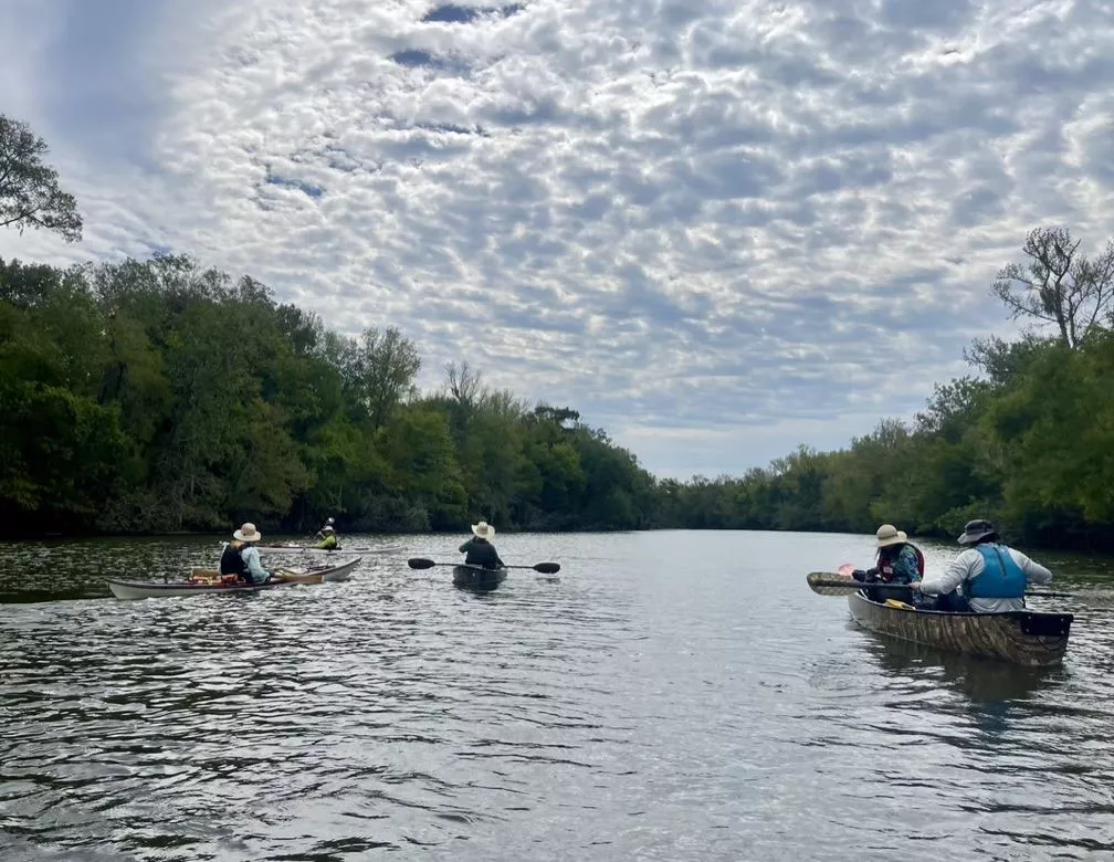
What a great day for a paddle at the Champion Lake Unit of the Trinity River National Wildlife Refuge! Clear to partly cloudy skies with air temperatures in the 70s, water temperature of 80°, and just enough of a northerly breeze on Pickett’s Bayou to be comfortable.
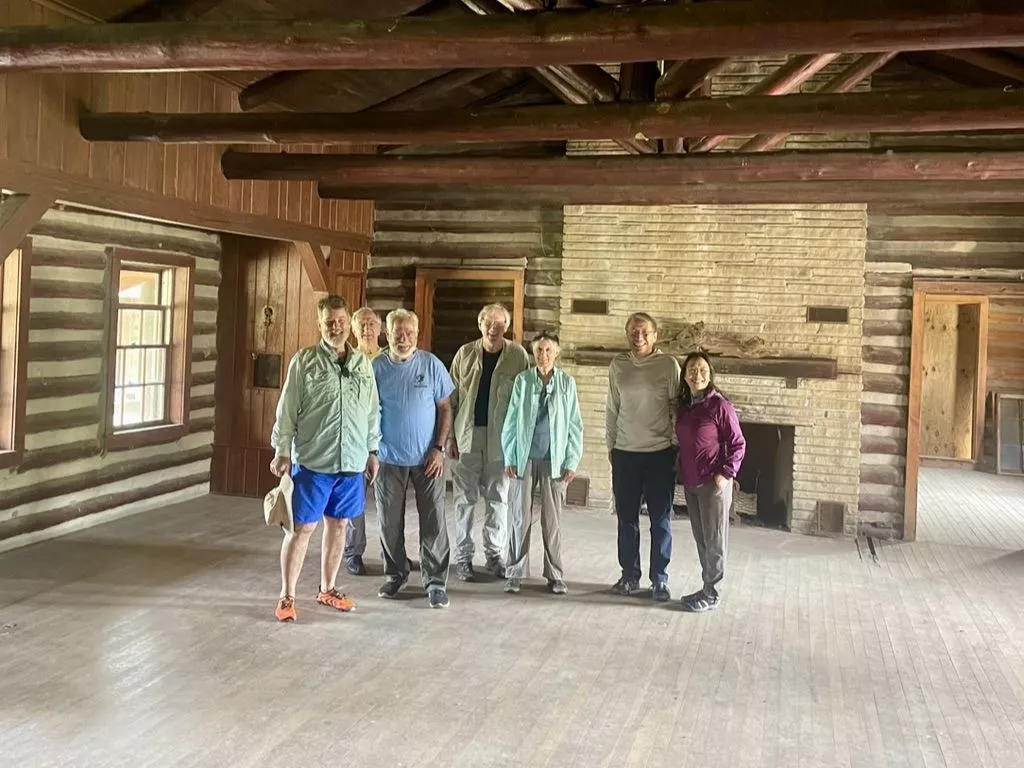
After signing in at the registration tent for the day’s “Walk for the Wild” event, we took in a brief guided tour of one of the log-construction buildings that is being refurbished for use as a space for the Refuge’s educational programs.
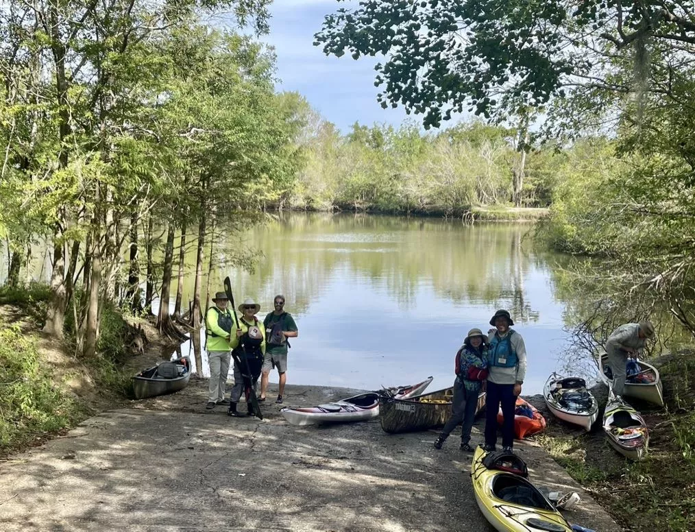
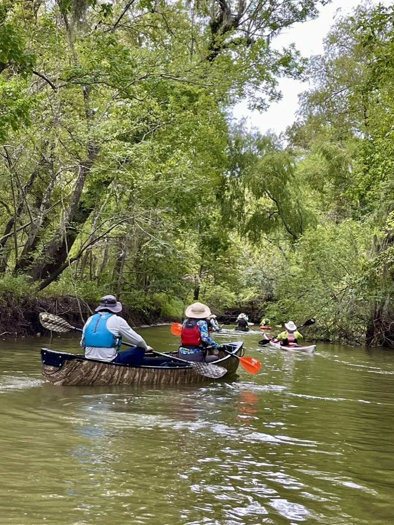
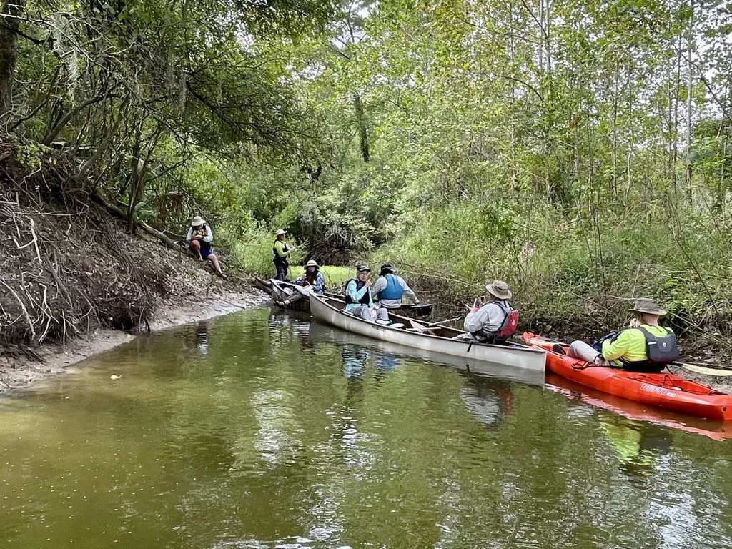
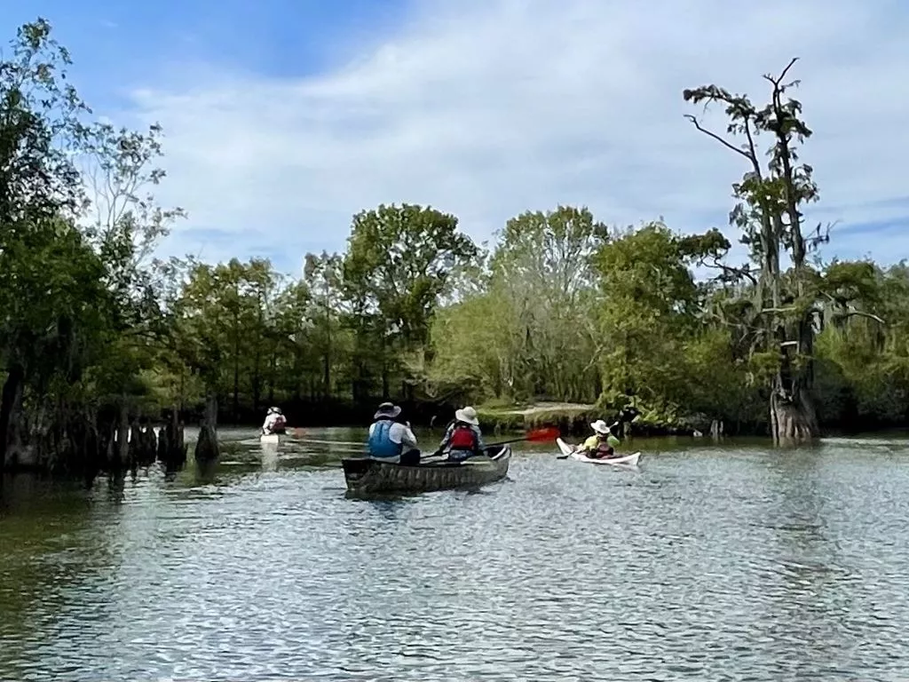
Our group of ten paddlers with their three canoes and five kayaks met up at the Pickett’s Bayou boat ramp at 10:00 and started down the bayou around 10:45.
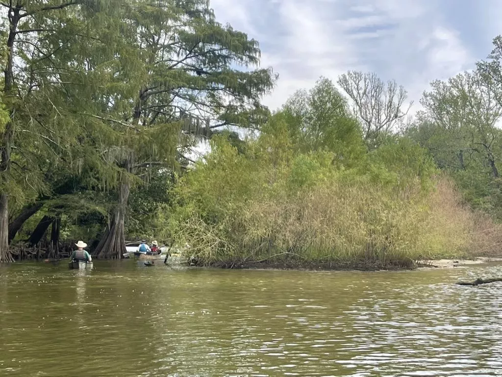
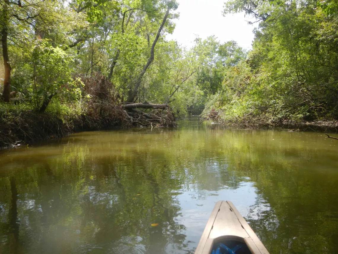
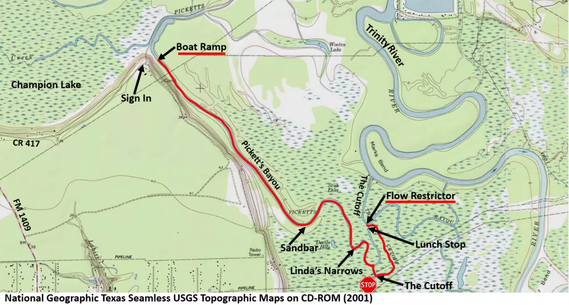
About 2 miles into the trip, we encountered the sandbar that ushers in the more winding portion of the bayou. (There is a map of our paddling route at the end of this article.)
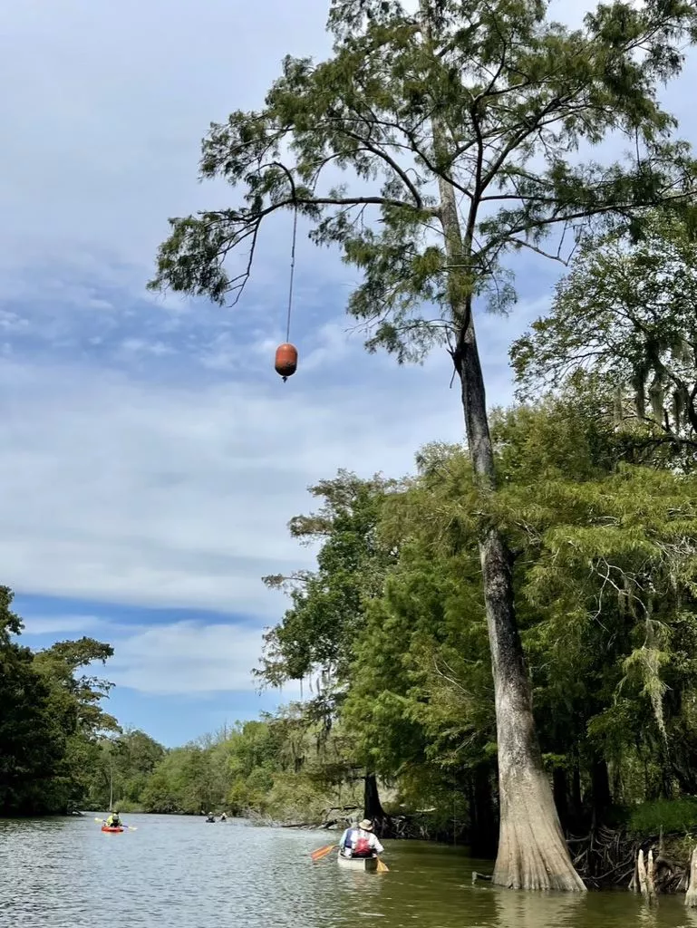
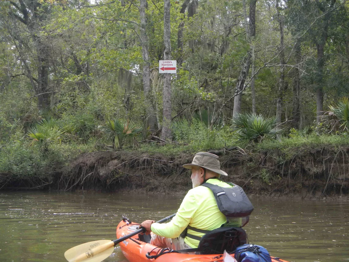
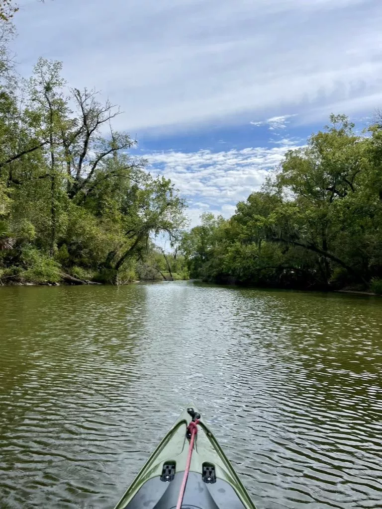
Soon, we came to a mysterious bit of river art hanging from a tree branch far above the water. This was a sign that we were approaching Linda’s Narrows, where Pickett’s Bayou becomes noticeably narrower and more winding.
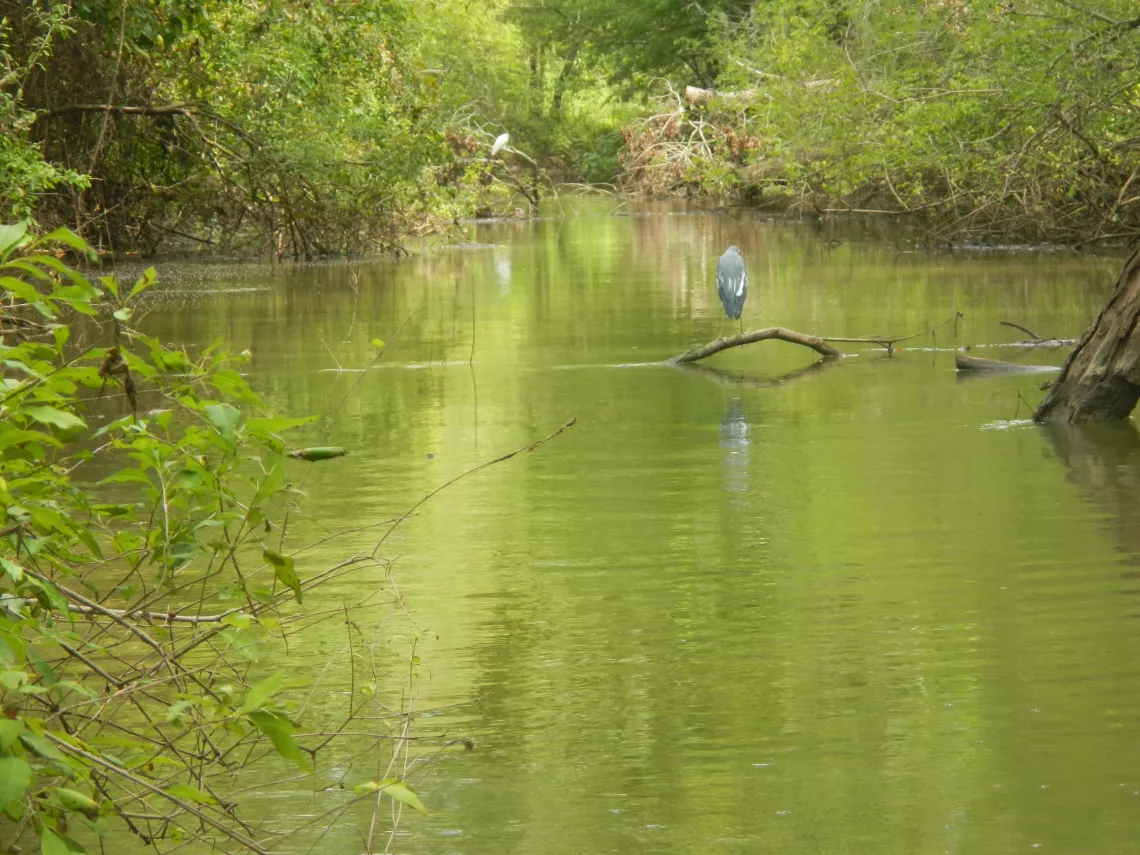
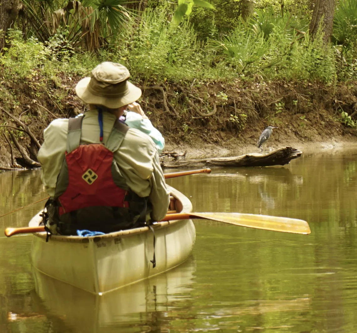
A bird that was perched along the bank drew a lot of attention because of its unusual, mottled blue-and-white appearance. We speculated that it was an immature little blue heron making the transition from its white juvenile plumage to its blue and purplish adult plumage. Thanks to Carl Kuhnen for finding an excellent article that explains how this change comes about.
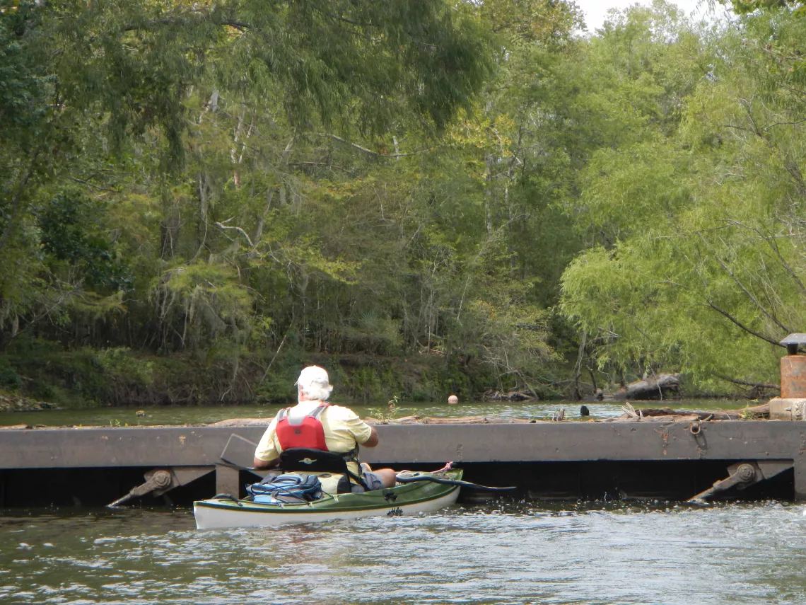
As we approached the confluence of Pickett’s Bayou and The Cutoff, we were greeted by a couple of relaxed, swimming alligators. At this water level, the banks at our intended lunch spot at the confluence were too steep and high to be very inviting. So, we decided to continue about 0.6 miles north up The Cutoff to what the Army Corps of Engineers designates as Structure A, and many paddlers call the “Flow Restrictor”. This structure is designed so that, when it is closed during times of low water, it can prevent salty water from the Trinity River from entering The Cutoff and going even farther inland from the Trinity. Today, the Flow Restrictor seemed to be doing its job. Although there was a bit of minor leakage of water around the gate, Joe Coker (pictured) estimated that the water level on the north side of the structure was still about 2 feet higher than on the south side.
The banks near the Flow Restrictor didn’t offer a favorable lunch spot either, so we backtracked a short distance down The Cutoff to a small side channel. Conditions there were a little better, leading some paddlers to have lunch ashore while others decided to remain in their boats.
Following lunch, we retraced our route: back down The Cutoff, up through Linda’s Narrows and Pickett’s Bayou, to the Pickett’s Bayou boat ramp. Even counting the several paddlers who explored Pickett’s Bayou for a short distance to the northeast of the boat ramp, everyone was at the takeout by about 3:20.
As promised, here is the map of our paddling route. Total paddling distance was 8.2 miles.
Photos by Alan Bernstein, Joe Coker, Tom Douglas, and Linda Shead. You can view more photos from this outing in Joe Coker’s photo album. For more about the “Walk for the Wild” event, see the article about the October 3 scouting trip to Champion Lake in this issue of the Bayou Banner.