What is Liquefied Natural Gas?
Liquefied Natural Gas (LNG) is a fossil fuel that begins as natural gas and is piped via high-pressure pipelines to liquefaction plants where it is super-cooled to -261° F. At this temperature, natural gas liquefies and condenses to 1/600th its volume, making it easier to ship. The LNG is then shipped overseas from export terminals in very large tankers.
With a boom in production from the dangerous practice of hydraulic fracturing (better known as fracking), natural gas production in the U.S. is anything but a source of clean energy. Fracking is contaminating drinking water in communities throughout the country, and the methane venting, flaring, and leakage that occurs in the process may make it worse than coal in contributing to greenhouse gas pollution.
What is proposed for Oregon?
Over most of the past decade, the Sierra Club and our allies have been fighting proposals for a number of LNG terminals in Oregon. They all started as proposals for import terminals but got flipped to export terminals several years ago due to the boom in domestic natural gas production from fracking. The Oregon LNG terminal in Warrenton was defeated in 2015, but the Jordan Cove terminal in Coos Bay lives on. In addition to the terminals, hundreds of miles of gas pipelines are also proposed, presenting a significant threat to farms, forests, streams, and public lands.
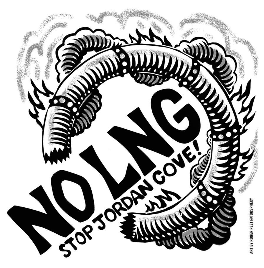
Jordan Cove
The Jordan Cove export terminal at Coos Bay would require the largest port dredging project in Oregon’s history in habitat important for marine species and the fishermen that depend on them. A 229-mile-long pipeline would be built to deliver gas to the terminal, crossing 485 waterbodies in the Klamath, Rogue, Umpqua, Coquille, and Coos watersheds.
LNG Pipeline Impacts
-
With hundreds of miles of pipelines proposed in relation to Jordan Cove, there is a massive amount of potential impact to Oregon’s forests, farms and waterways. All of these LNG-related pipelines would be 3 feet in diameter and would carry non-odorized gas at a very high pressure (up to 1,400psi). In most areas, the pipelines are proposed to be buried just 3-5 feet below topsoil.
-
Construction and Permanent Right-of-Way (ROW): Each pipeline would require a 100’ to 120’ construction ROW. In some areas that ROW would extend as far as 300’ due to steep or difficult terrain. That Construction ROW represents the area that the Pipeline companies would use to build the pipeline, park their construction vehicles and store equipment and excavated dirt. After construction, the permanent ROW would revert to 50 feet and would carry with it stringent restrictions on be planted within that corridor. In areas like the Umpqua National Forest, Rogue River National Forest or the Klamath National Forest (to name a few) this would require massive clear-cuts and numerous stream crossings.
-
Crop Restrictions Over Permanent ROW: Because the pipelines are non-odorized and running at high-pressure, there are severe restrictions for d be grown or built over the permanent ROW. Therefore, deep-rooted crops and permanent structures would be restricted within the 50’ ROW. This represents a serious problem for farmers, foresters and vintners whose property is threatened with eminent domain for the purpose of these projects. In addition, ranchers or residential landowners would be restricting in building fences or digging wells within that ROW. In National and State forests the permanent ROW would be a visible scar on the landscape and would require heavy maintenance to manage invasive species. Chemical spraying has been proposed to control invasive species in some areas.
-
Waterways: Hundreds of waterways in Oregon would be crossed by these pipelines representing a serious threat to fish habitat and watersheds on which we rely for drinking water throughout the state. The history of pipeline development has shown that waterways are frequently devastated by pipeline construction and the erosion caused by digging pipeline trenches near waterways. A few major waterways proposed to be crossed by these pipelines include the Rogue River, Klamath River, and Umpqua River.
-
Hazard zone: There is a 700’ hazard zone on either side of the pipeline that could be acutely impacted in the event of a pipeline rupture or leak. These leaks and ruptures may be caused by human error, corrosion of the pipeline, or by natural geologic movement. Because these pipelines cross dozens of active landslides and various fault lines, there is serious concern about the possibility of a pipeline leak. This represents a serious public safety threat for landowners and communities along the proposed routes, and indicates a potentially more serious threat of forest fire in areas where the pipeline corridor would build up fine fuels and act as a conduit for forest fire.
LNG Terminal Impacts
-
Each of these terminals carry with them a unique set of impacts based on the specific habitats that would be destroyed by the construction and operation of these terminals. While the impacts are unique, they are similar in many ways. The five major impacts of each terminal include:
-
Dredging – impact to aquatic life: each of these terminals will require massive amounts of dredging in the area where they plan to dock their ships. At the Jordan Cove site, they intend to excavate 4.25 million cubic yards from the North Spit for the purpose of building a dock for LNG tankers.
-
Water usage – each of these terminals would require the use of massive amounts of water at the site where they would operate.
-
Water Quality – The process by which the LNG tankers and facilities would process the water they need for cooling the plants and the tankers’ engines would have a devastating impact to water quality.
-
Air quality – The export terminals would emit large amounts of greenhouse gases from their operation. In addition to that, the tankers and security vessels that accompany them are required to run their engines during the entire 24-hour cargo off-loading cycle. This will produce a greatly increased amount of exhaust and air pollutants that will impact surrounding communities.
-
Public Safety – impact to surrounding communities & use of waterways: If just 3 million gallons of LNG (less than 10% of one ship cargo) were to escape and reach an ignition source, the resulting fire could reach 3 miles from the source. That puts communities at risk that live near the terminals and along the tanker routes. Additionally, both export terminal proposals for Oregon would be sited on geologically unstable sand spits. If or when a massive earthquake or tsunami were to occur the community of Coos Bay would be at great risk.