We headed to the Hays Canyon Range early Thursday morning, planning to summit the highpoint, Hays Canyon Peak before the storm arrived. We hoped that the storm would miss our destination, allowing us to also hike Little Hat Mountain.
From Reno we drove east on I-80 along the Truckee River to Wadsworth, exited at the Wadsworth/Pyramid Lake exit then drove north on NV State Highway 447 to Gerlach.
Pyramid Lake seemed a deeper blue than usual as we glimpsed it approaching Nixon. Nixon has a small market with gas. As we drove north out of Nixon, we paralleled the Selenite Range on the east passing two GBPS peaks, Limbo & Kumiva.
In Gerlach we stopped at Bruno’s for a caffeine reload plus a “to go” order of their renowned raviolis. We bypassed another GBPS peak, Granite Peak, as we continued to Surprise Valley. Surprise Valley is a pleasant surprise. A scenic valley nestled between the Warner Range, now snow-capped, on the west side and the Hays Canyon Range to the east. In our quest to get to the peak, we passed the road turnout 7.5 miles prior to Eagleville that our guide promised to lead down a short, steep trail to the fantastic Eagleville Hot Spring. Have to save a dip in the hot springs for a later date.
At Eagleville, we turned on Co Rd 38 (Hays Canyon Road) leaving pavement to a bouncing washboard, gravel road. Passing through the narrow Devil’s Gate we followed the meandering road to the summit as the clouds and wind increased. At the summit, we crossed the cattle guard & turned right. Passenger cars could get to this point without problem. However, at this point the road gets a bit dicey and into rocky areas that require higher clearance. (Divine Peak, 7462’) looks like a quick climb from this area but we needed to continue on to reach Hays Canyon Peak and return before the storm.
The top of Hays Canyon Peak is drivable with a high clearance vehicle. Because of our error in passing Indian Pole Camp expecting a sign that was not there, we drove a bit further than planned. The camp is clearly labeled on the Nevada Road & Recreation Atlas but the camp is not physically signed.
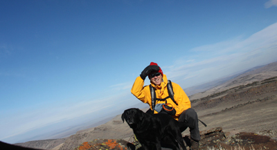
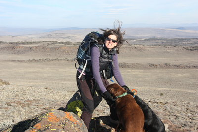
We ended up barely over a mile from the top when we stopped & started hiking up the road. The wind was so strong that we could hardly stand up. At the top, the road veers left to solar panels, but the jumble of rocks to the right is the high point. After exploring the “summit debri” and grand view of the Warners, we headed across the rocks to the summit. The wind made walking a challenge even for my dogs.
 There is a peak register placed by DPS, but we didn’t spend time reading much in fear that the wind would rip it out of our hands. A quick register signing and summit pictures, then back to the van. We drove back to the flat “cow pied” area near Devil’s Gate to camp for the night, arriving just as it got dark.
Friday morning we woke early to dark cloud cover and drove back to Eagleville as it started to rain. We drove 17 miles north to Cedarville for breakfast since there are no restaurants in Eagleville. The Country Hearth restaurant & bakery had a great breakfast. Even though a light snow had started we drove the longer route returning to Reno via Alturus across the Warner Mountains for different scenery. A nice discovery trip, but the weather cut the trip short, plus prevented our plan to head up Fredonyer Peak on the way home.
The AAA sectional map for Northern California was helpful for an overview of this trip. Directions: From Reno, east on I-80 to Wadsworth/Pyramid Lake exit. Take exit and head north on NV State Route 447 from Wadsworth, through Gerlach to Eagleville, CA. In Eagleville turn Right on Co Rd 38(Hays Canyon Rd), pavement ends and road becomes gravel & washboard. Crosses back across the NV State line. Pass through Devil’s Gate & at the summit head Right to Indian Pole Camp (not signed but you’ll pass a large water trough to the left and numerous areas of good camping in the aspen groves). This is a good place to start your hike following the rocky road to the summit.
By Sharon Marie Wilcox November 18, 2010