On a clear day you can see forever...
By Ed Maurer
This moderately challenging 6.5-mile hike leads first through forested gullies and up through coastal sage scrub and chaparral habitats to San Mateo peak. Much of the hike is within the San Mateo Wilderness, which was created by an act of Congress in 1984. This wilderness exists thanks to the efforts of local hikers, at that time led by Sierra Club member Ken Croker! Today, the San Mateo Wilderness covers almost 40,000 acres of mostly unspoiled nature.
To get to the trailhead, take Highway 74 (Ortega Highway) and turn right (south) onto the South Main Divide Road, an intersection close to the El Cariso Fire Station. Drive 2.7 mi. to the signed Morgan Trailhead car park on your right. Although this hike measures only 6.5 mi. and climbs just a bit over 1,000’, it can be considered moderate/strenuous, especially since there are some steep sections on the way to the peak and others that are poorly maintained on your way back. For guided hikes, please check our schedule.
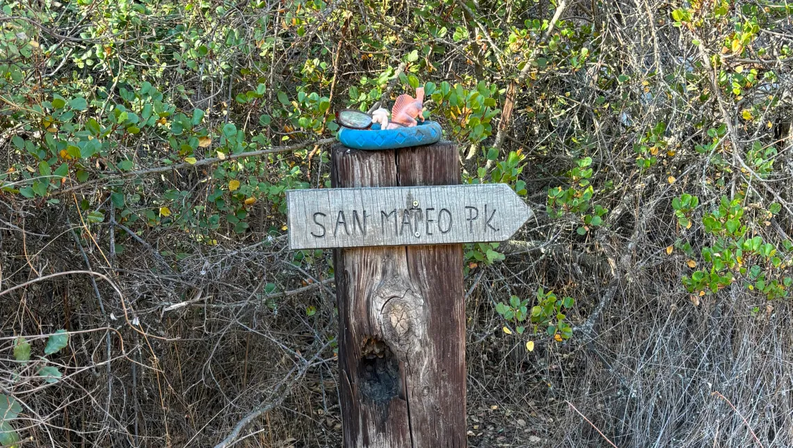
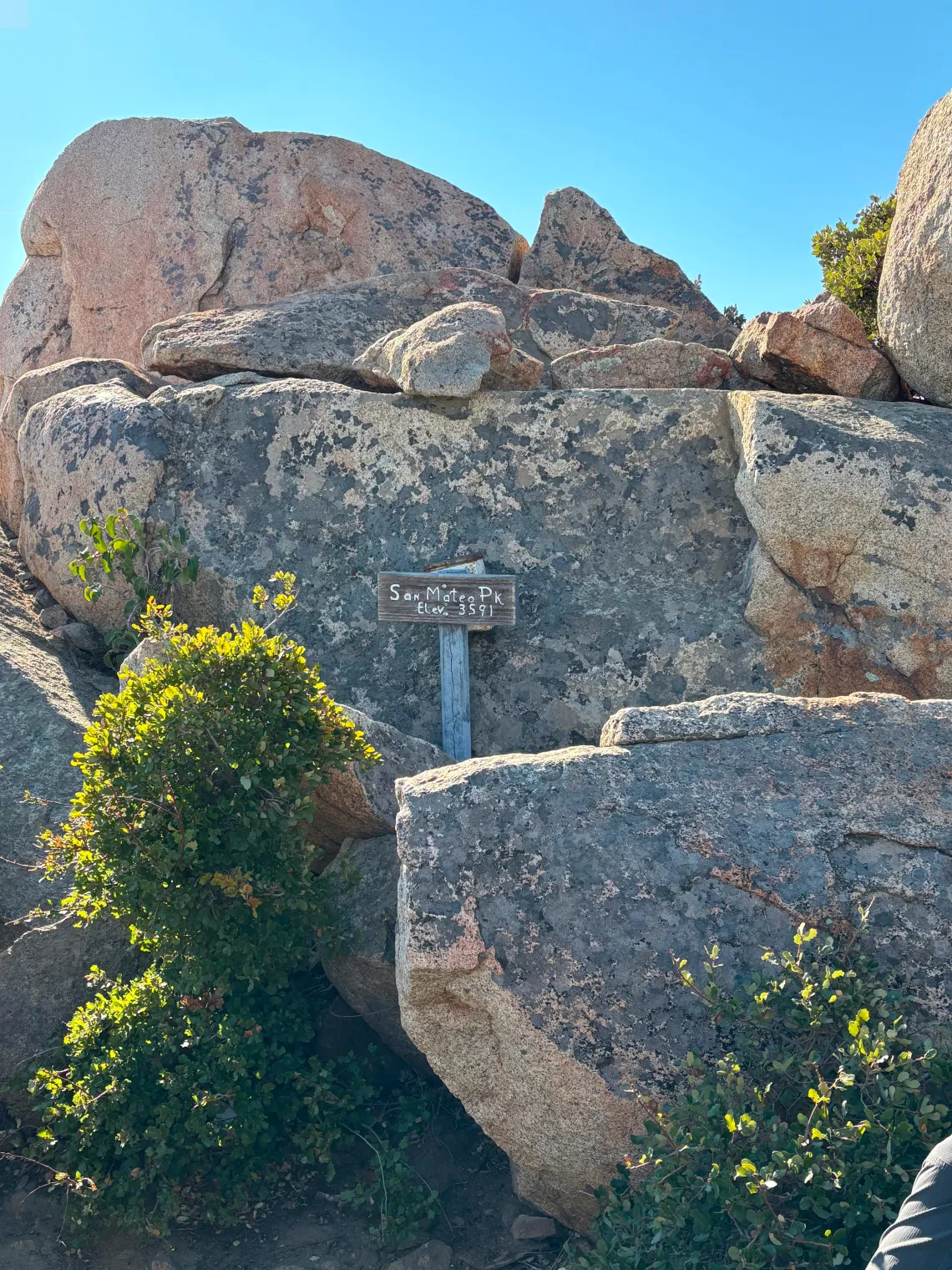
From the trailhead, follow the Morgan Trail for a short distance down into Morrell Canyon and take the first single track to your left (east). Soon you will see the first of several dinosaurs sitting upon posts marking the trail! The loop begins at the next intersection (0.7 mi.), where a sign points to San Mateo Peak and where the real climb begins. On a fine day, you will begin to enjoy fabulous views, especially when you reach the granitic boulders that mark San Mateo Peak (2.2 mi.). At the peak a 360⁰ panorama unfolds, from the Pacific Ocean all the way to the peaks of San Jacinto, San Gorgonio and the San Gabriel Mountains! Don’t forget to sign the summit record stored in a box.
On the descent toward Rancho Capistrano the trail isn’t marked and poorly maintained. It first trends south and then east to a T-intersection (3.63 mi.) where we take a left (north) and reach the ranchettes of Rancho Capistrano. We skirt one of these properties and get onto Gaucho Road (4 mi.), turn left onto El Dorado Road, turn left again onto Monterey Road that leads us back onto our trail (4.6 mi.)
The trail is mostly downhill and under fine tree cover until we reach the spot where we began our ascent (5.8 mi.) We retrace our steps back at another 0.7 mi. to the trail head (6.5 mi.).
Ed Maurer will lead this hike on Saturday, March 22, 2025. Register here.