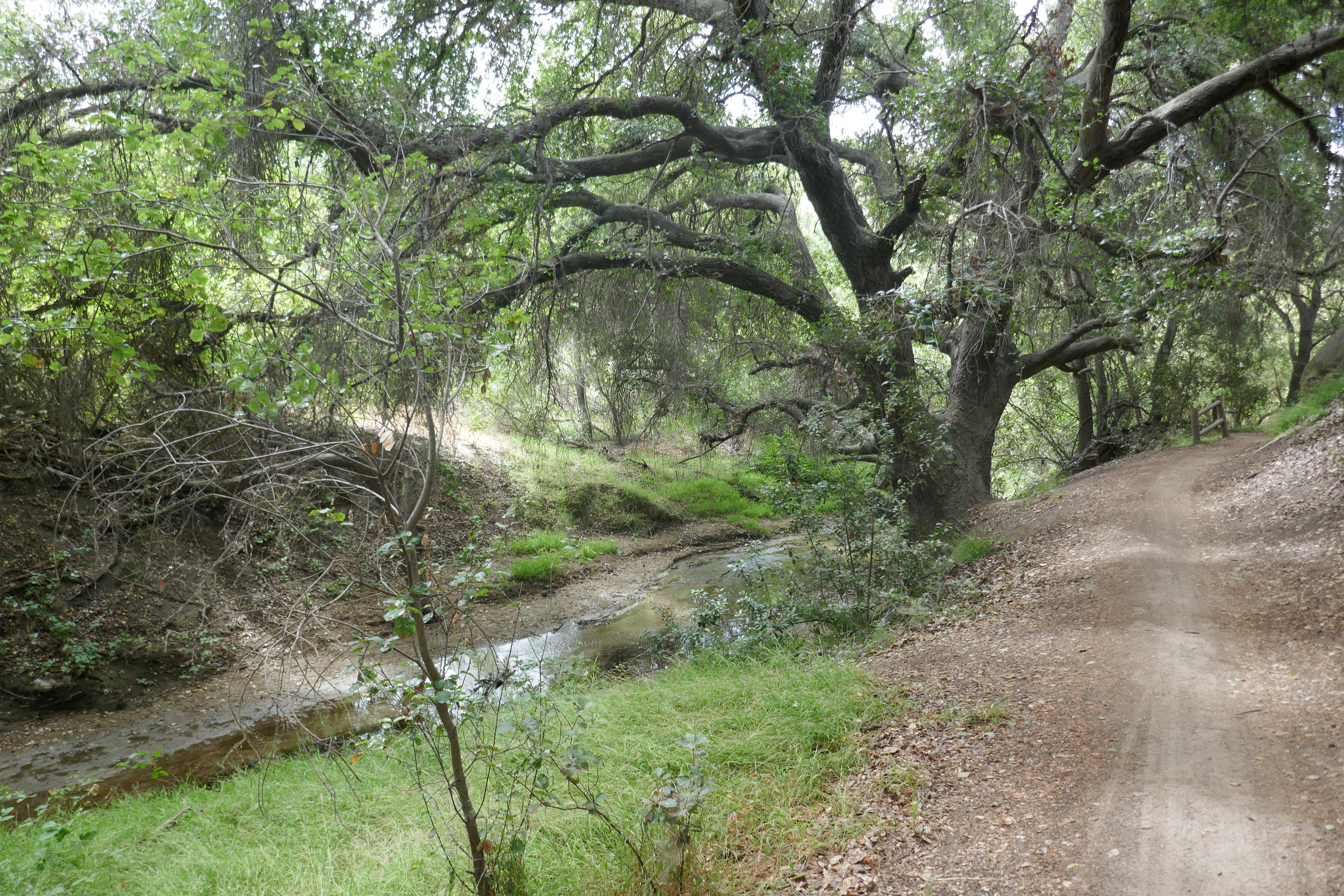
Favorite Hikes & Runs
- Caspers Park East Ridge - Mike Sappingfield
- Laguna Coast - Ed Maurer
- O'Neill Park from Park HQ - Ed Maurer
- O'Neill Park from Meadow Ridge - Mike Sappingfield
- Wood Canyon from Canyon View Park - Helen Maurer
Page edited: 210401EM
Wood Canyon - Coyote Run Loop
During these times when we cannot hike as a group, here's a suggestion for a solitary walk submitted by Helen Maurer.
This is an easy to moderate hike of about 5 miles, ca 730’ gain/loss, and is also one of the prettiest routes in Aliso and Wood Canyons Wilderness Park. It’s best done on a weekday when it’s less busy, especially with bikers. Take water with you; no special equipment needed.
Starting from Canyon View Park (at the end of Canyon Vistas in Aliso Viejo), follow the paved road to the “back-door entrance” to the wilderness park. Descend along the main Wood Canyon Trail to where it makes a “Y” and take the climbing righthand fork. Where this ends veer left onto a single-track, which is the hikers-only Wood Creek Trail, renovated just last winter and now easy to negotiate. Rejoin the main trail in about .5 mile and soon thereafter turn right to cross the bridge onto Coyote Run, another scenic single-track that is popular with hikers and bikers. Follow it downstream, often near the creek. Do not take any trails that go off to the right, uphill. After a little over a mile Coyote Run will end at another main trail (Mathis). Turn left, cross the creek to the junction with the Wood Canyon Trail. Turn left and follow it all the way back to your starting point.
O’Neill Regional Park
Starting from the Sycamore Grove, take the Live Oak Trail and follow it all the way to where it ends just at the park boundary, at a paved road leading down into Live Oak Canyon. Go down this winding road and, reentering the park, get back on dirt in the canyon following first the Hoffman Homestead Trail and then the Coyote Trail that brings you right back to the park entrance, from where it’s just a hop and a skip to your starting point. This is a scenic, almost 8km/5 mi., 600’ gain/loss, 1 hr. (12’/mile) run or a 2 to 2 1/2 hr. hike with some good climbing in the beginning and plenty of shade on the return leg. (Submitted by Ed Maurer)
Laguna Coast
For a longer outing, start at the Dilley parking lot and warm up along the mostly flat Lake Trail, cross underneath Laguna Canyon Road to the Nix Nature Center, then climb your first hill on the South Stagecoach Trail. Down on the other side and back up on Camarillo Trail which has some rocky and steep sections where runners may prefer to walk. Once you reach Serrano Ridge, its lickety split for runners to West Canyon Trail, then Stagecoach North, and back on the Lake Trail, which returns you to the Dilley Parking. This is good workout that measures 10 mi. from/to Dilley, and 8 mi. from to Nix with 332m / 1,090’ gain/loss which takes Ed around 2 hours to run on a good day, provided he can keep up his 12’/mile pace. He likes to follow this route clockwise because the hills are more manageable this way, shade makes no difference either way as there isn’t any. Hikers can figure on 4 – 5 hrs. for the full circle. (Submitted by Ed Maurer)
O’Neill Park Hike
 6 Mi. 1500 elevation gain/loss. Drive north on El Toro past Glenn Ranch to Valley Vista, right on Valley Vista and after the right bend in the road, it becomes Meadow Ridge. Follow Meadow Ridge and park on the side of the road near the end. In front of you is the beginning of the Live Oak Canyon Trail.
Walk south past the last house and turn left on the path before the closed and locked gate. Follow the Live Oak Trail into O’Neill Park. Follow the Live Oak Trail up, up, up until you see the Cell Phone tower. Climb the steepest trail up to Vista Point, which is the highest point in the park and has some benches and tables at the top. After you have enjoyed the view and rested, go east down Vista Trail all the way to the bottom of the ridge to the Hoffman Homestead Trail. Turn right on the Hoffman Homestead trail and follow it south a short distance until you get to a bench and the monument of the Hoffman Homestead. After your break, follow the Homestead trail south for little more than a mile until you cross a paved road to the junction of 4 trails. Turn right on the Coyote Trail and climb up following the trail until you get to the junction with the Live Oak Trail at the ridgetop. Turn right and down then up past the Water Tank, and back up to the Cell Tower. The rest of the hike is down Live Oak Trail back to the beginning and your car. Bring at least 2 quarts of water and a hat! (Submitted by Mike Sappingfield)
Caspers Park East Ridge Hike
 5.75 Mi. 600 ft, up and down. Caspers Park is 7 miles east on Ortega Hwy from I-5 – on left hand side of road. Drive into Park, pay entrance fee (County Park Pass will get you inthe park by showing it to the Gate Attendant. Once you have entered the park, follow main park road across the creek and past all the camping areas. Go all the way to the north end of the road and parking the parking lot.
After parking, take your munchies and water (at least 2 quarts) and walk back down the main road about ½ mile to a restroom and showers by a campground. On the left side of the road is a dirt road/trail taking a gentle climb up to the top of the East Ridge. The trail will turn to the North. Continue following it along the right, enjoying the views on both sides of the road. In the early spring,there are often many wildflowers on all types and colors. Follow the dirt road on the tip of the ridge north. After about 2.5 miles past the water tanks, you will have two choices to drop down from the ridge. The first, Sun Rise is quite steep going down but is shorter. If you want to continue along the ridge north, you can, and within a ½ mile the road will go down to a sort of plateau that joins with the Cougar Pass Trail. Turn to the left (South West) and start back to the car. You will join with the Sun Rise trail. Then continuing to the Bell Canyon Trail will take you south right back to the parking lot and your car. Note: There is a restroom about a 50 foot walk south from the car (or you can take the car to the restroom if you prefer. (Submitted by Mike Sappingfield)
