Tabasco Hot Sauce and the Fate of Louisiana’s Shorelines
Climate change might be driving Tabasco production elsewhere
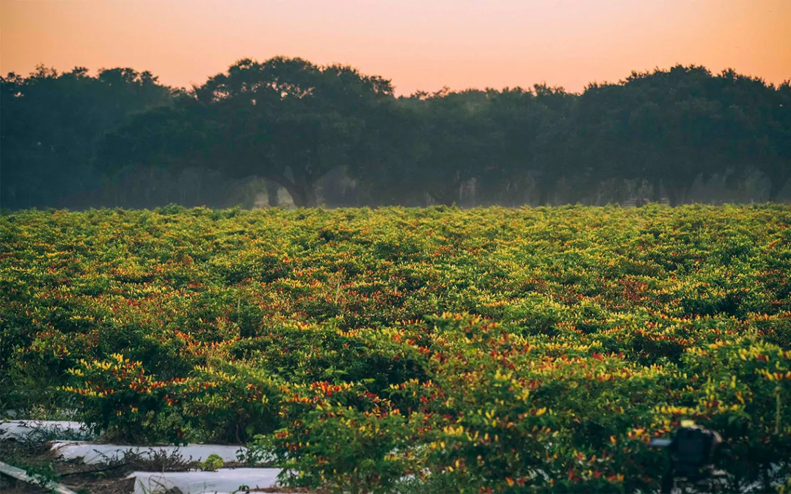
Photo courtesy of Tabasco Co.
Avery Island is not strictly an island. It is a huge dome of salt in south Louisiana, nestled in bayous, marshes, and swamps off the Gulf of Mexico. Standing at 163 feet above sea level, it is one of the highest points of land in flat Louisiana and is home to two of the three ingredients for Tabasco hot sauce: salt and chili peppers. The salt is mined from the island’s salty composition, and the peppers are tabasco peppers.
The McIlhenny family has been producing Tabasco hot sauce for 150 years on Avery Island—first in old cologne bottles capped with a special dispenser that allowed only a few drops at a time. But climate change could put that in jeopardy.
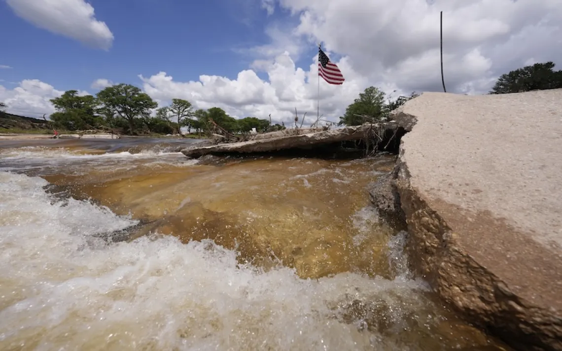
Parts of Louisiana’s coast are built on a delta that is flat and sinking as sea levels continue to rise. Louisiana has been named “Most Likely to Be Flooded” by various studies, at four times the global average and at the rate of half an inch per year. Avery Island is losing about 30 feet of its coastline each year, meaning the planting grounds for peppers and its salt mines are in grave danger of getting destroyed or submerged in saltwater. Avery Island’s current area is only 2,200 acres at the most. With the coastal region disappearing under water at the rate of a football field (roughly 1.32 acres) every hour, the whole island could technically disappear in 1,667 hours (less than 70 days).
The McIlhenny family has responded by planting grass in recent years to stanch the saltwater intrusion and is working with America’s Wetland Foundation to raise public awareness on the issue, calling for consumers to “save the wetlands” in a message printed on the hot sauce labels. As the water creeps inland from the Gulf of Mexico, the island suffers from saltwater intrusion, which erodes the wetland and kills marsh grass.
“There’s a real ethos ingrained into our DNA, [into] the process of making tabasco. There is a zero-waste mentality; we’re using things we’ve inherited from our ancestors,” said Harold “Took” Osborn, executive vice president at Tabasco and the great-grandson of the company's founder, Edmund McIlhenny. “We work and live in the same place, so we’re very aware of what we did, and to take care of what we have here,” he said.
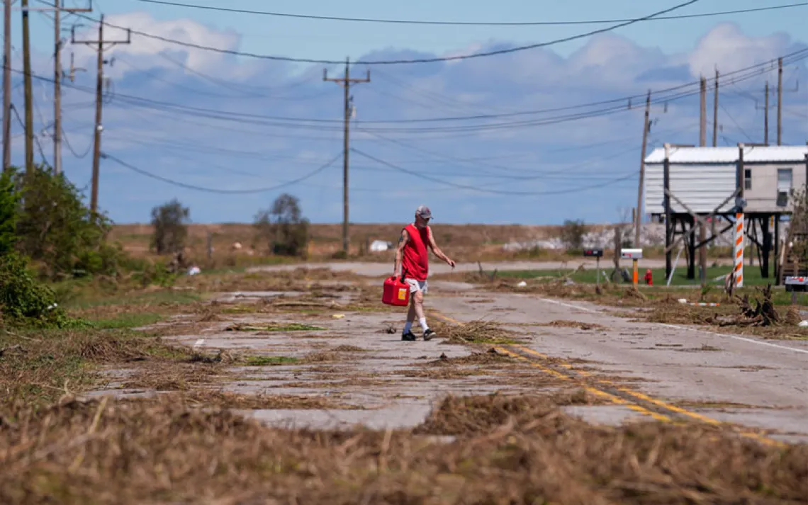
The McIlhennys have also braced themselves for the unpredictable storms and hurricanes. After Hurricanes Rita and Katrina, Tabasco Co. saw its lower pepper fields flooded, and storage facilities with some 53,000 barrels of hot sauce in production were nearly submerged in water. “We fought hard, and it was working, too,” Osborn said.
After Katrina, Tabasco Co. put $5 million into preventing future floods from overwhelming its headquarters, constructing a 17-foot-high levee and a backup generator and pump that will serve as the front lines when a hurricane hits. The family also joined forces with the National Audubon Society and other landowners on Avery Island to form the Rainey Conservation Alliance in 2010, working on various projects to reclaim the coastline.
“Eighty-five percent of Louisiana’s coastline is privately owned, so your neighbors to the south of your property have just as much responsibility in keeping an eye on your land as you do,” said Cynthia Duet, the deputy director of Audubon Louisiana. The alliance has managed to secure $70 million to fund marsh restoration work and other projects, restoring some 200 acres of Avery Island. “The biggest thing in these 150 years has been using the marshes to keep the Mississippi River and storms away; the more marsh there is, the more it breaks up the storm and controls the water,” Osborn said.
The peppers planted on Avery Island now are plucked for their seeds, which are packaged and sent to pepper farms in Africa and Central and South America for the main harvest. This ensures that the peppers can grow away from Louisiana’s coastal weather perils, but nobody knows whether climate change will also impact the pepper-friendly regions in new planting grounds, too. There have been instances where hurricane winds introduced African diseases to chili fields in the Yucatán, Mexico, resulting in spotted leaves and a drop in chili yield.
According to the newly completed National Climate Assessment draft released in December, sea levels will continue rising steadily around Louisiana and through the end of the 21st century, and more studies are backing up this wave of pessimism. The 2017 version of Louisiana’s Coastal Master Plan predicts that as much as 2,800 square miles of coast could still be lost, and about 27,000 buildings are in probable need for flood-proofing.
“In the last 10 years, we have dredged and used 130 million cubic yards of fill material to benefit more than 41,000 acres of land and 60 miles of barrier islands, headlands, and shorelines,” said Chuck Perrodin of the Coastal Protection and Restoration Authority.
The situation on Avery Island remains precarious. “Of course we’re worried,” Osborn said. “When you’ve been here for as long as we have, there’s always something challenging you, and this [climate change] is just one of them. We’ve been pretty successful so far because conservation comes naturally to us. We’ll do our best not to get driven out—possibly for another 150 years.”
This article has been updated since publication.