iStock.com/wpd911
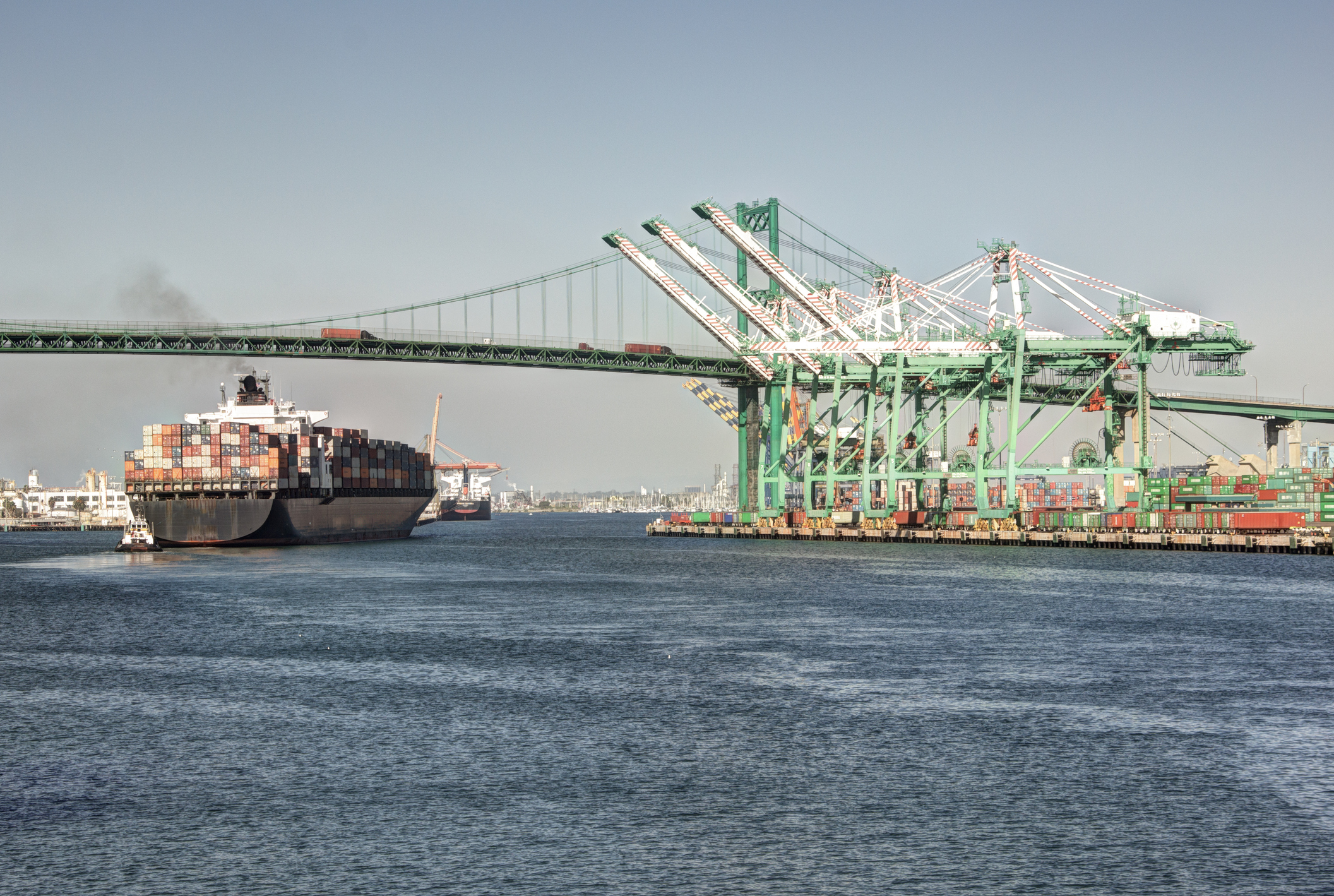
In late February 2024, the Environmental Protection Agency announced its $3 billion Clean Ports Program funded by the Inflation Reduction Act, intended to address pollution from diesel engines at ports and freight hubs across the country. The Clean Ports Program will fund zero-emission port equipment and infrastructure as well as climate and air quality planning at ports. This is crucial because communities that live near ports experience 24/7 pollution from ships, trucks, trains, and cargo handling equipment.
Picture a port and you might think of an enormous area next to a wide open ocean or bay. While those areas can definitely benefit from this program, you may be surprised to learn the range of areas eligible for funding from the Clean Ports Program is more broad. The program will provide funding to what we traditionally think of as a port – an area by a navigable ocean, river, or lake where passengers or cargo are loaded and unloaded from commercial vessels – with a minimum amount of funding set aside for smaller water ports. In addition, the program funds dry ports: intermodal truck-rail facilities that handle a minimum amount of freight traffic.
The map below shows port areas across the country as well as dry ports eligible for funding under the Clean Ports Program. Also mapped are the areas that EPA seeks to prioritize in its funding: disadvantaged communities experiencing poor air quality which includes a San Bernardino location in Southern California nearly 75 miles away from the Ports of Long Beach and Los Angeles.
The application period for the Clean Ports Program is open until May 28 at 11:59 pm ET.
Advocates have an important role to play across the country in encouraging their local port authorities to apply for this funding. See our campaign plan for more information. To get involved, please join the Sierra Club Community Advocates program.
Sources and Notes
EPA published a list of qualifying counties under its definition of Disadvantaged Communities for the Clean Ports Program, as of February 2024, available at https://www.epa.gov/system/files/documents/2024-02/2024-clean-ports-disadv-community-county-list-2024-02.pdf.
County geospatial data are sourced from the U.S. Census Bureau, available at https://www.census.gov/geographies/mapping-files/time-series/geo/cartographic-boundary.html.
The list of dry ports eligible for the EPA's 2024 Clean Ports Program is available at https://www.epa.gov/system/files/documents/2024-02/2024-clean-ports-sm-water-port-proj-elig-info-2024-02.pdf.
This was used to filter the National Highway System's spatial dataset, available at https://www.fhwa.dot.gov/planning/national_highway_system/nhs_maps/.
Port data available at https://geospatial-usace.opendata.arcgis.com/datasets/b7fd6cec8d8c43e4a141d24170e6d82f_0/explore.
USACE port areas are defined by overarching legislative enactments of state, county, or city governments or the corporate limits of a municipality.