By David Sanger
 We live in a part of the world surrounded by marvelous natural beauty and much of it has been preserved thanks to dedicated conservation efforts of so many people. Even so, a large number of Bay Area residents are unaware of the natural wonders that surround us.
There are over 550 hills, peaks, ridges, and mountains in the San Francisco Bay Area. For years I have been hiking and photographing these hills and mountains. In 2014 I began a comprehensive effort to hike and photograph as many of them as I could. Beginning in July I began by climbing a new peak in the Bay Area for 121 straight days. This was the genesis of the Bay Area Peaks Project.
 Over the following few years I explored an amazing variety of landscapes: lush redwood forests of the Santa Cruz Mountains, bare grassy hillsides of Western Marin, rocky slabs and towers of the Pinnacles, brushy chaparral and manzanita of the Ventana Wilderness, and gentle oak and bay woodlands of the East Bay Hills. Working from lists compiled by fellow peakbaggers and discovering a few summits of my own, I hiked to scores of new locations I had no idea existed: hills, peaks, and summits in a wide variety of venues including national, state, county, and city parks, national forests, land trust acquisitions, private easements as well as private ranches, woodlands, and vineyards where owners generously allowed me access.
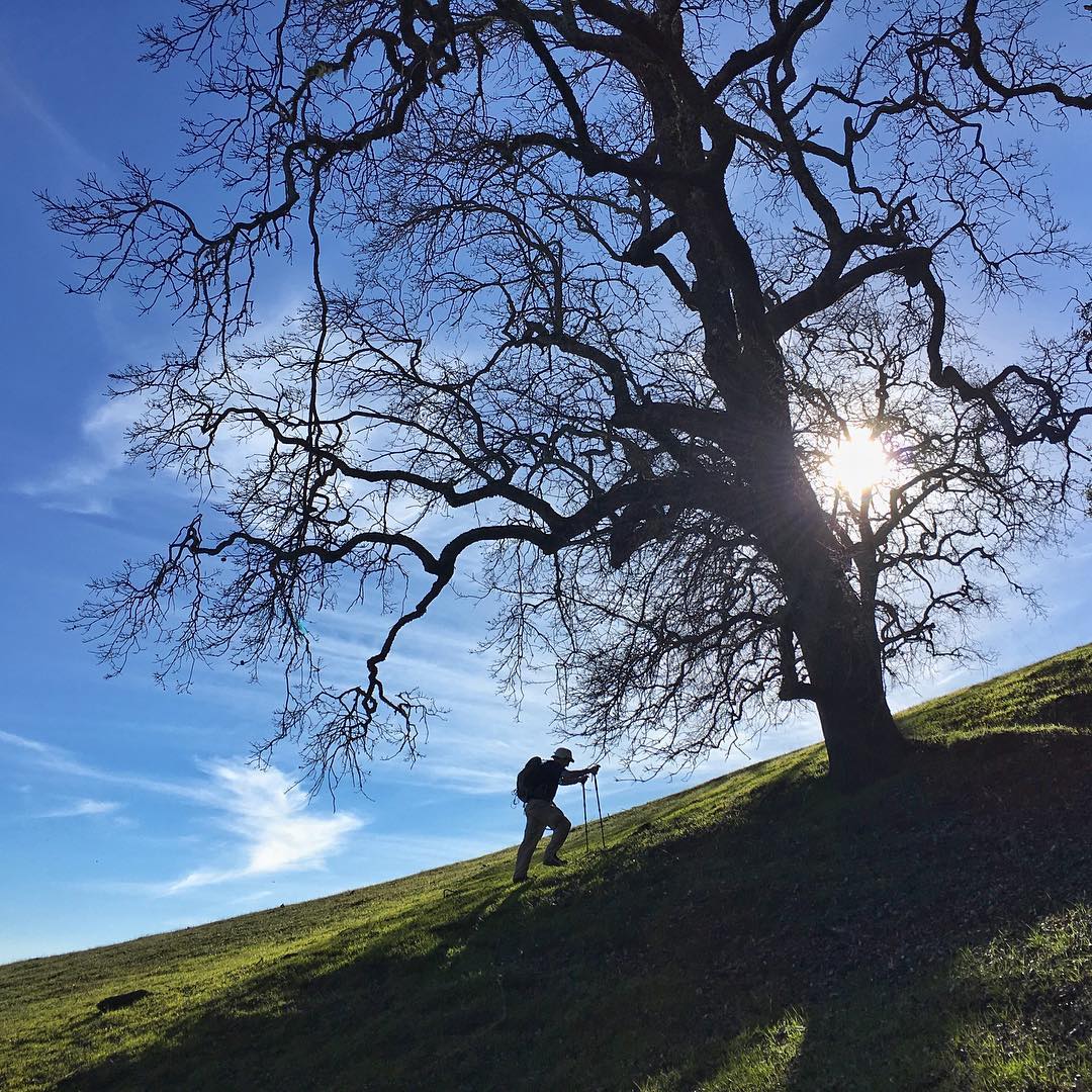
Having worked as an international travel photographer I wanted to bring the same wonder of faraway places to my own backyard and community. Photography is a key element of the project, not classical landscape images like Sierra Club calendars (I have done that) but "on-the-go" shots with ordinary equipment (not my expensive Nikon gear). All the images are taken with an iPhone and edited on an iPad. The focus is more on the experience of being there, rather than going out expressly to make an image.
 Hikes have ranged from a quarter mile to 20+ miles, on and off trail, in all sorts of weather and in all seasons, from rugged backcountry treks up Snow Mountain in the north of Lake County and Mount Junipero Serra in Monterey County, to rock climbs on Hawkins Peak in Pinnacles National Park, city walk-ups like Telegraph Hill in San Francisco, and even unnamed summits like Peak 2469 in Henry W. Coe State Park
When the Sierra Club San Francisco Bay Chapter recently announced the Nifty Ninety—a list of local publicly accessible peaks—it was a great match. There were only seven peaks I hadn't done, so with a five-day push to visit them all, I finished the list on Mount Saint Helena South just before the end of December. If you want to get out and explore, the Nifty Ninety is a great starting point. Download the Sierra Club's Nifty Ninety list here (tinyurl.com/niftyninety).
To discover even more peaks you can find a selection of images and stories from the Bay Area Peaks Project at www.bayareapeaks.com.
David Sanger has worked for thirty years as a travel photographer for magazines, books and stock agencies. For a multi-year book project with environmental author John Hart, sponsored by the Bay Institute and the National Audubon Society, he photographed extensively throughout the San Francisco Bay estuary. Their book San Francisco Bay: Portrait of an Estuary was published by the University of California Press.
Photos, top to bottom: Saint John, Peak 956, and Loma Alta, all by David Sanger on www.bayareapeaks.com.