By Norman La Force
The East Bay Regional Park District, like parks across the country, has seen an enormous increase in park users over the past years, and especially during the pandemic. As a result, some of the trails have gotten quite crowded, and there have been reports of conflicts between different park user groups, particularly between hikers and mountain bikers on narrow trails.
Thankfully, the Park District has been working hard to expand its parks and trails system, and currently has 30,000 acres of land bank properties (properties acquired by the Park District, but not yet open to the public), and a number of new parks and trails that they are working to open in the coming years.
An important outstanding question as the Park District expands its trails system has been how the Park District can appropriately expand mountain bike access to meet the needs and desires of the mountain bike community, while avoiding conflict with other user groups to the greatest extent possible, and protecting our parks important natural resources. To gather input on these questions, the Park District formed a Trail User Working Group (TUWG) in 2020, made up of various stakeholders including the Sierra Club and other conservation groups, as well as mountain bike advocates, equestrians, hiking clubs, outdoor equity organizations, and more. Regular meetings were held over a year and a half period, and perspectives were shared — unfortunately, the group was not asked to formulate any specific policy recommendations and the process concluded in early 2022 without much accomplished.
After the end of the Trail User Working Group, knowing that these issues remained unresolved, the Sierra Club worked with our partners to develop and propose a clear process for how East Bay Parks’ trails system can thoughtfully expand at the pace and scale necessary to meet the growing demand of the public while protecting the environment. What we came up with was a proposal for a Trails Master Plan.
An East Bay Parks Trails Master Plan would identify the overall goals, priorities, and strategies for the Park District’s trails work for the next ten years. Critical components of this plan would include:
- Assessing the status of trail access for Park District communities, including the completion of a trail equity audit and developing strategies and specific action steps for East Bay Parks to advance equitable outdoor access for all;
- Developing holistic visions and strategies to meet the unique recreational needs of each user group, including walkers, hikers, mountain bike users, equestrians, and dog walkers;
- A detailed vision and action plan for development of new trails throughout the district, including a detailed timeline and priorities for opening land bank properties to the public; and
- Robust exploration and deployment of “best practices” for ensuring safe and enjoyable outdoor experiences for all by minimizing conflict between recreation user groups.
The Trails Master Plan would need to include robust environmental review, including detailed biological surveys of Park District lands and close consultation with the Stewardship department to avoid and/or mitigate ecological impacts as a result of new trail construction. The plan must also include robust public engagement, ensuring that park users throughout the region have a voice in shaping the future trails of our Park District.
As the largest urban park district in the country, the Sierra Club firmly believes that the East Bay Regional Park District can set an example in doing the inclusive regional planning that our diverse communities deserve. With past park planning efforts in the Park District, there has been significant conflict between different user groups over trail design, balancing access for different user groups, and how to balance access with protecting the natural environment. We firmly believe that much of this conflict can be avoided if East Bay Parks 1) does holistic planning that analyzes and plans future trail development at the regional level, allowing compromises to be achieved that may not otherwise have been possible, and 2) minimizes the use of “mixed-use narrow trails” that force bikers, hikers, and equestrians on the same narrow trails, inevitably causing conflicts. In a survey of TUWG stakeholders, 63 percent opposed multi-use narrow trails, demonstrating the unpopularity of this trail design with park users. We believe wider trails that accommodate all user groups are more appropriate, or separating non-compatible uses, such as dedicated hiker/equestrian trails and mountain bike trails.
With the conclusion of the TUWG, the Park District has transferred the bike access issue to its Park Advisory Committee (PAC), and staff are exploring a number of potential “pilot projects” that would increase mountain bike access and amenities in local parks. The Sierra Club looks forward to working with the PAC on this issue, however we also believe it is critical that East Bay Parks include local communities and the public at large in any proposals for new trails, and comply with their own Land Use Plan Amendment (LUPA) process to ensure a proper public process and environmental review for significant changes that may impact our parks.
We continue to believe that it is in the best interests of the East Bay Regional Park District — and the 3 million East Bay residents it serves — to design the expansion of the trails system at the district-wide level, in the form of a Trails Master Plan, rather than engage in piecemeal planning of new mountain bike trails within existing parks. We will continue to advocate for the Trails Master Plan concept and the resolution of this issue in a fair manner that accommodates all users and ensures that environmental concerns such as protection of habitat and species are carried out in an open, public, and transparent planning process.
Norman La Force is the chair of the Sierra Club SF Bay Chapter East Bay Public Lands Committee.
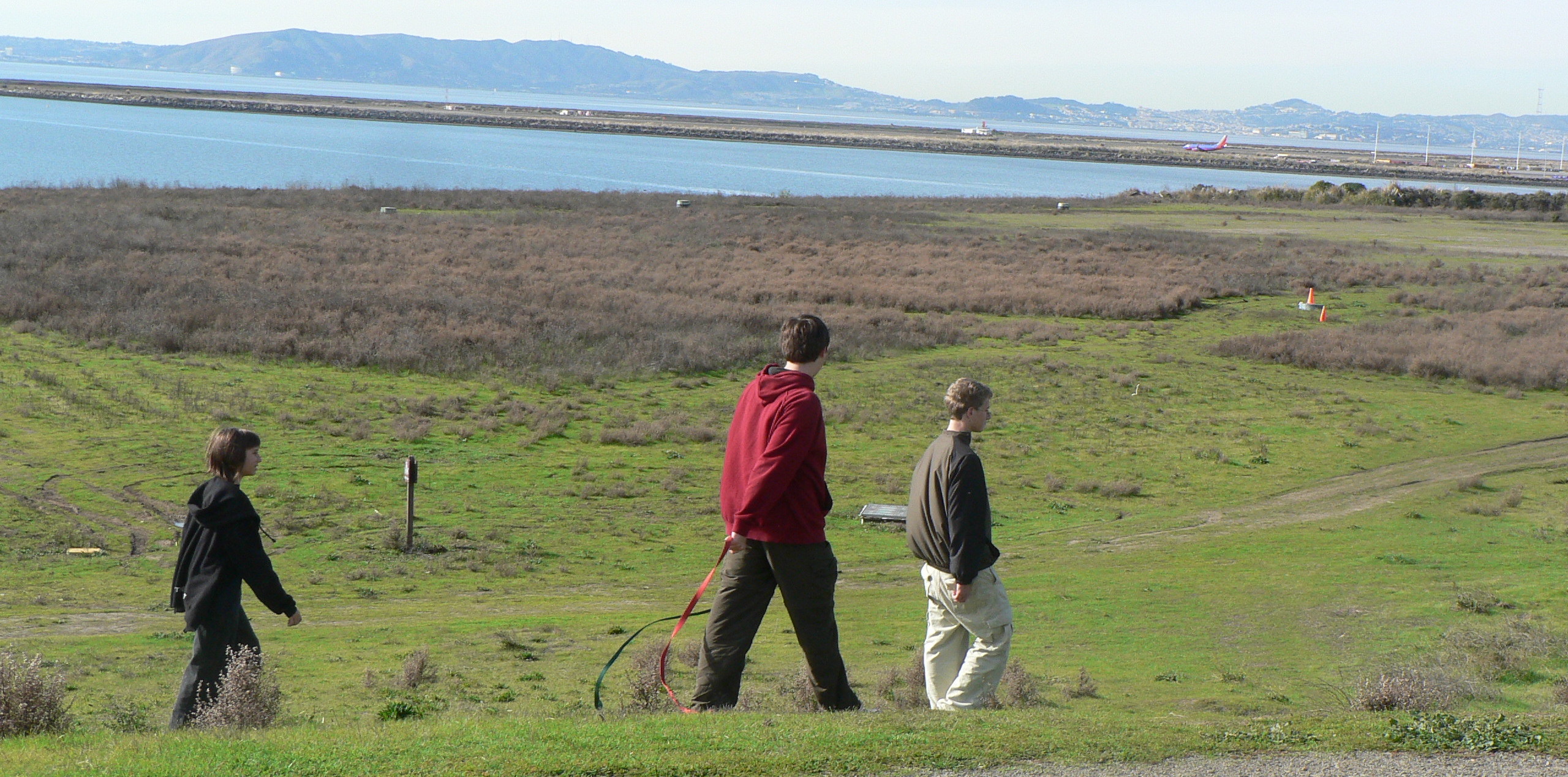
Photo credit: Oyster Bay Regional Shoreline. Photo by Shelly Lewis, East Bay Regional Park District (CC BY 2.0).