By Dani Zacky
This winter, King Tides hit the Bay Area, causing immense flooding that acted to foretell the impacts of sea level rise in our communities. Our Chapter and the Bay Alive Campaign, consisting of nearly 50 dedicated volunteers, set out into their neighborhoods, strolled along shorelines, and braved flooded pathways to capture these tides in photographs and tell the story of our future as the oceans rise — all in an effort we called the King Tides Project.
King Tides are not a new phenomenon. They are semi-annual high tide events that occur when the earth, moon, and sun are aligned to produce the greatest tidal effects of the year. This winter, however, between the record storms and seasonal tides, nearly every Bay Area city was affected.
The end product of this project is a StoryMap, a map that includes all photo submissions, marked areas of specific concern, sliding photos to compare regular tide cycles with the King Tides, and a recording of our webinar with speakers from the California Coastal Commission, San Francisco Estuary Institute, and the Bay Conservation and Development Commission. In these pictures, you’ll see trails, benches, and other public spaces inundated with water — a reminder of how even the most regular of places will be impacted by sea level rise.
These images tell a powerful story. They are a symbol for the need for our regulators and decision-makers to address the insidious loss of meaningful spaces in our communities. Our hope is that this StoryMap be used not only to educate about sea level rise, but to inspire meaningful conversations and serve as a template for future projects. We want to visually present the challenges we will face to our decision-makers and advocate for the smart adaptation and planning that we so desperately need. If we’re prepared, we can protect our vulnerable communities and save these places that mean so much to us. Check out the StoryMap online today at bit.ly/KingTidesStoryMap and see first-hand how your community will be impacted!
If you are interested in learning more about issues related to sea level rise, shoreline toxics, sustainable development, and more, the Bay Alive campaign may be of interest to you. The campaign is a collaboration between the SF Bay Chapter, Loma Prieta Chapter, and Redwood Chapter. Please email Dani Zacky at dani.zacky@sierraclub.org to learn more and get involved.
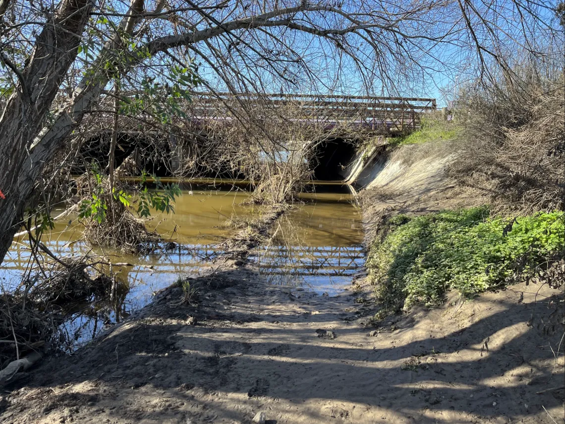
Palo Alto Baylands underpass during King Tide.
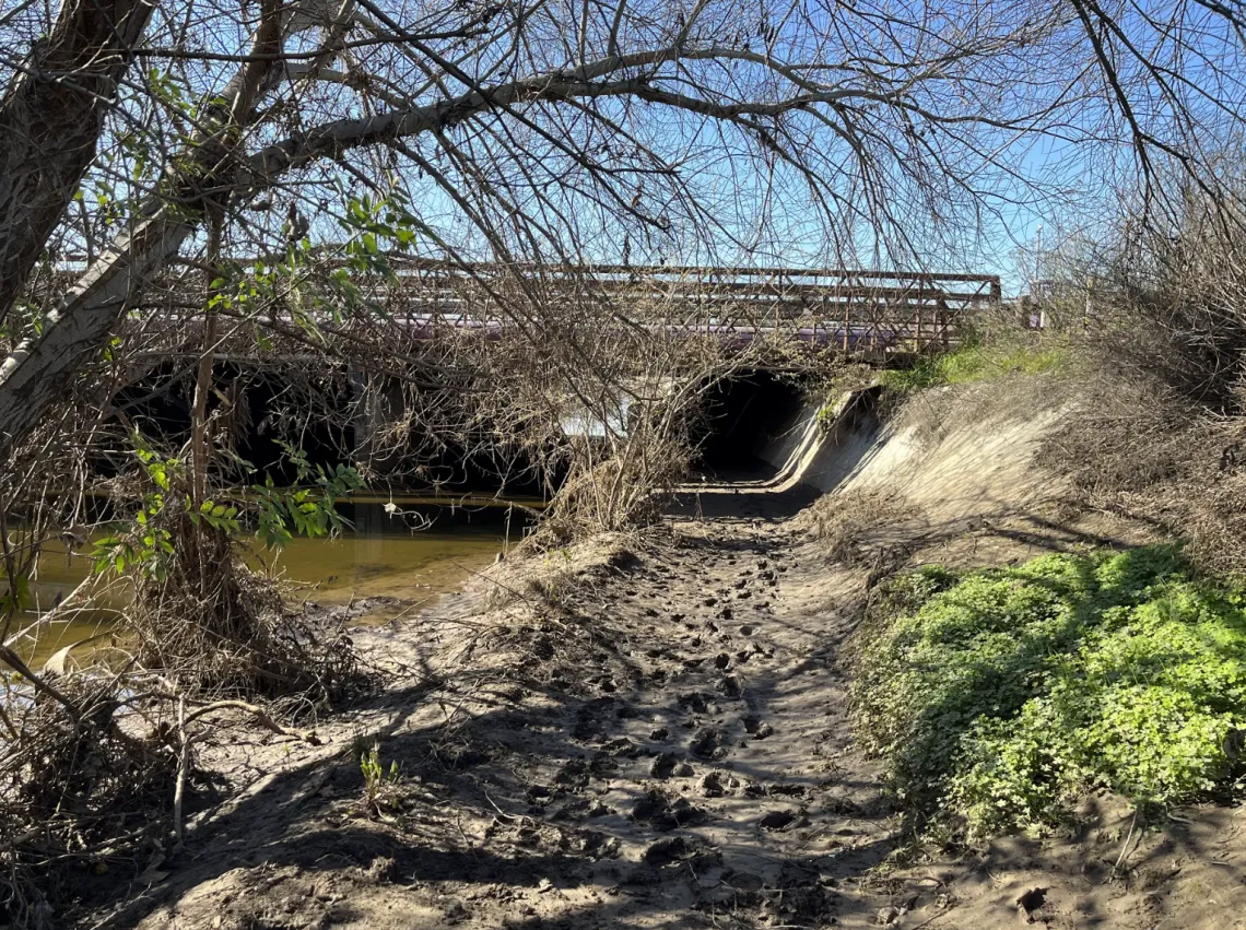
Palo Alto Baylands underpass during regular tide.
Photos by Jennifer Hetterly.