 The Magazine of The Sierra Club
The Big Bend Region Is Losing Irreplaceable Pieces of US History
Beyond its environmental harms, border wall construction in West Texas is destroying archaeological sites
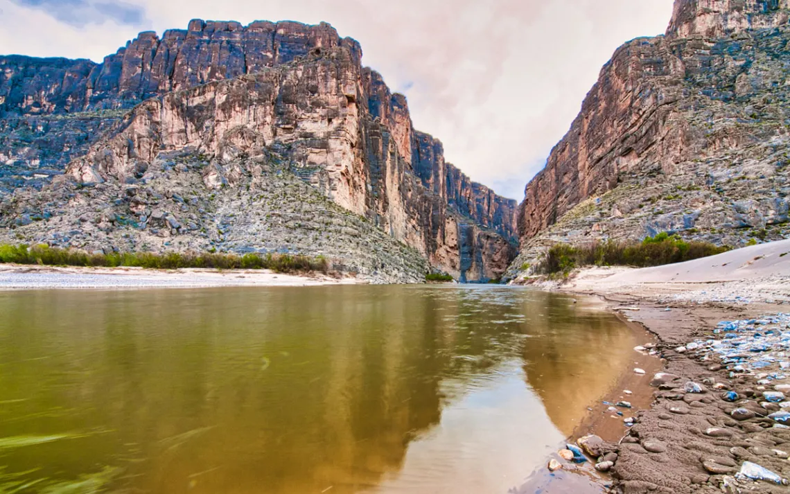
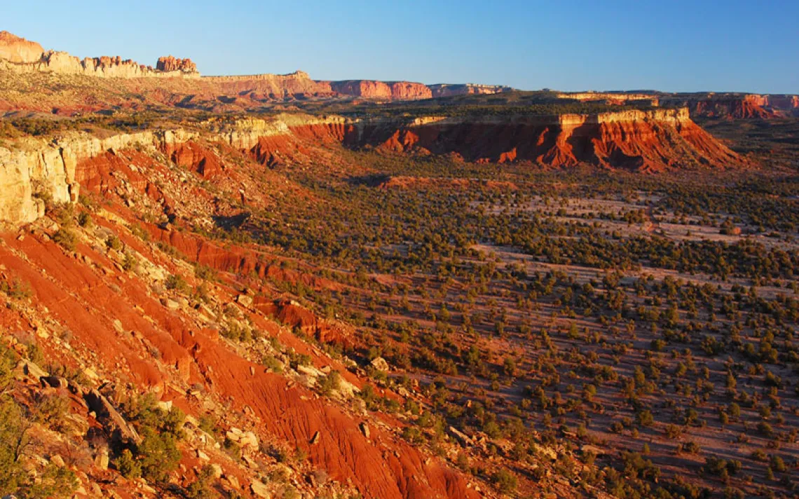
Santa Elena Canyon in Big Bend National Park. | Mark A Paulda/Getty Images
In West Texas, locals are near unanimous in their feeling that the Trump administration's plans for a border wall will change the Big Bend region irreparably. Local sheriffs have lamented the economic impacts to the region. Conservationists have bemoaned the ecological toll. And property owners have fretted about land seizures. Different sections of the border are slated for different kinds of barriers and roads, but all of it requires extensive excavation. Just this month, contractors arrived in Big Bend National Park (BBNP) to start bulldozing roads and leveling mountains.
Their plans include surveillance technology, vehicle barriers, and service roads through the national park. Similar structures, including more vehicle barriers, floating buoys meant to block river crossings, and service roads, are planned for the federally protected Rio Grande Wild and Scenic River and Amistad National Recreation Area. And while the destruction of ecosystems and the waiving of environmental laws have been well covered, less attention has been given to the archaeological sites that are threatened by the hardening of this stretch of the border.
Humans have lived here for at least 13,000 years, and the recovery of what’s left of their existence is only just beginning, according to researchers. If construction continues, some worry that Americans would lose an important part of Texas history and culture. Prehistoric sites include hearths, earth ovens, and petroforms, such as medicine wheels, which until recently had only been found much farther north.
“It’s rare to find sites that show that kind of integrity, not just in Texas but anywhere in the world,” said David Keller, a Texas-based archaeologist. “We have only just begun to uncover what’s here.”
The loss of historical sites
One person at the forefront of the work on the border is Sam Cason. He’s primarily focused on doing the prep work at archaeological sites before contractors get there. Once work begins, he ensures that they follow federal and state laws meant to keep artifacts intact. When he studied the Big Bend region, Cason found that only 17 percent of the construction area had been surveyed. Yet, even in this tiny fraction, 360 archaeological sites were found. More than 130 are within Big Bend National Park. Over 20 have evidence of human remains. He’s currently calculating how many sites are undiscovered.
“The discovery rate suggests that there are about 1,370 undiscovered sites along the construction corridor,” he said. “At least 100 of which will have human remains.”
Tom Alex, former archaeologist for BBNP, says it’s rare to find evidence of people living in one place continuously from pre-Hispanic time until the 20th century. Yet the national park has more sites than anywhere else along the corridor, many in the path of the construction. Customs and Border Protection (CBP) has offered no explanation for why they are building hundreds of miles of continuous vehicle barrier in a place where such extensive historical sites are known to be. In addition, a road along the river already exists within the park, but CBP plans to build an additional one. Construction involves a patrol road and underground utility infrastructure, buried fiberoptic cable, an electric power line, and surveillance equipment mounted on towers that will be lit. Alex says that much of it is in an active floodplain, and there’s a high risk of equipment getting washed downriver.
Unlike Big Bend National Park, which has received a lot of scrutiny given the federal government’s mandate to have a public process, state lands, such as the adjacent Big Bend Ranch State Park, are almost entirely unsurveyed. Cason said that archaeologists could still uncover a thousand or more sites on these lands.
Two state agencies that oversee the cultural resources of Texas are the Texas Parks and Wildlife Division and the Texas Historical Commission. They are tasked with protecting cultural resources on state lands as well as overseeing projects undertaken by the federal government. Close watchers say these two state entities have been silent on the matter of the border wall and have failed to keep the public informed about the coming impacts.
Under normal circumstances, contractors working at historical sites must adhere to federal laws, including the Antiquities Act of 1906, the National Historic Preservation Act, and the Native American Graves Protection and Repatriation Act. On the other hand, the federal government has a duty to work with state partners and federally recognized Native American tribes. In this case, CBP is required by law to consult with the state on how it can minimize impact on cultural resources.
But the Trump administration has waived the laws.
“They’re not breaking the law, because the law has been waived. But they are shirking the responsibilities of stewardship by not being vocal in the face of the destruction,” Cason said. “This is antithetical to the very ethos of Texas.”
One of the federally recognized tribes whose ancestral land includes Big Bend is the Mescalero Apache Tribe. Normally, a construction project would have required a cultural resource survey, and every recognized tribe with claims to the land would with be involved in the survey or be given the archaeology report to review and weigh in on. Tribal historic preservation officer Holly Houghton said no one from either the state or federal agencies has contacted the tribe, including the national park.
She is especially concerned with what happens when the bulldozers hit human remains. Under federal law, they are required to stop, but they’re no longer required to be accompanied by a monitor who is trained to identify human remains, so she does not believe they will stop digging. She said that every cultural site is also a relationship of trust, sharing knowledge, and collaboration that took years to establish. “All that’s being eroded now,” she said.
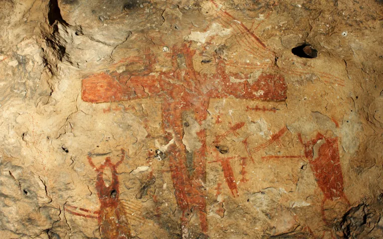
Indigenous rock art just south of the proposed border barrier. | Photo courtesy of the Shumla Archaeological Research and Education Center Archive
Diverging views on private land
Directly upstream from Big Bend Ranch State Park lies La Junta de Los Rios, where two other rivers flow into the Rio Grande. It holds yet-to-be-found sites of Indigenous culture, as well as more recent Texas history. One important site has already been impacted—the location of the Porvenir Massacre. It’s here that, in 1918, Texas Rangers separated 15 men and boys from their families and murdered them in the name of border security. The border wall will cut off access to the site from the US side.
Keller, who has excavated the site over the years, sent a report to the Army Corps of Engineers, which secured the right of entry for survey and construction, describing its location and significance. He heard nothing back. “They disregard not only the law and Texas history, but the victims and survivors of the massacre,” Keller said. “Their descendants live here.”
Another site directly in the path of construction is a village called Polvo. River guide Charlie Angell owns the four-acre state archaeological landmark, which is on the National Register of Historic Places. Despite its designation, it is currently slated to have the 30-foot steel wall running through it.
Native Americans have lived here since at least 1,300, and so far, archaeologists have uncovered six human burials. Xoxi Nayapiltzin, an Indigenous community elder who has been repatriating and reburying ancestral remains for over two decades, says there must be many more at this site. He traces his roots to the Concho Indians, who lived at the Polvo mission up until 1715. “We are not federally recognized,” Nayapiltzin said. “But this is our homeland, since always.”
Angell won’t allow surveyors on his property until they offer a plan for how to proceed without disturbing the site. “This is Texas, and I can defend my property,” he said.
In his 13 years living along the river, Angell said he has seen zero crossings on his land.
But some private landowners are looking to make a big payout by selling to the Trump administration. For example, the owners of Yeti, a brand whose merchandise commemorates Big Bend National Park, are turning over land for development, further threatening yet-to-be found archaeological sites. Some of the big ranches are providing staging areas, storage, sand, and gravel for construction, and moving steel into big yards. Other owners are renting out land for camps to host hundreds of construction workers.
The vehicle barrier is also planned for the private land downstream from Big Bend State and National Parks. Known as the Lower Canyons, that area is one of the most archaeologically rich areas in the world, revered for its cave paintings, created over thousands of years by ancient hunter-gatherers.
Raymond Skiles’s family has owned a part of this land for generations. Because there is no public access to the caves on his family property, they are exceptionally well preserved. But they are limestone, which means that even vibrations from blasts can ruin them.
“If this were public land, it would already be a major national monument,” he said. The vehicle barrier will cut off immediate access to the caves. The service road will cut directly through Skiles’s family cemetery, where his parents and grandparents are buried. However, there is no history of vehicle crossings through the Lower Canyons, Skiles said, because the canyons and the river are almost impassable by vehicles.
“The entire Big Bend makes up a quarter of the border with Mexico, but it has the least illegal crossings. It’s the most rugged and least accessible section,” he said. “CBP folks I have spoken to privately say that keeping it this way is the best deterrent.”