The Heart of Canoe Nation
Algonquin Provincial Park is a paddler’s dream. But it has a dark little secret.

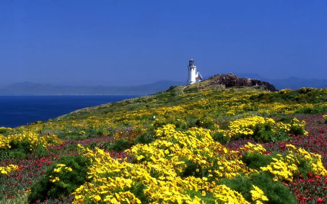
Photo by Conor Mihell.
The first paddle strokes are joyous. Leaning forward, I plant the blade and pull water, making the paddle sing as I knife it back for the next stroke. The canoe surges and the Rock Lake campground disappears behind a rocky, pine-clad point. It’s early May and I’m setting out on a three-day solo trip in central Ontario’s Algonquin Provincial Park. This is a moment I’ve been waiting for: The restlessness of a long winter dissolves as I fall back into the familiar rhythm of wilderness travel.
Located within a three-hour drive from either Ottawa or Toronto, Algonquin is where Canoe Nation goes to paddle. The park encompasses nearly two million acres of waterlogged north woods—about double the size of Minnesota’s Boundary Waters Canoe Area. Like the BWCA, rangers have maintained a network of ancient canoe routes, in Algonquin more than 1,200 miles in total. Easy access makes Algonquin canoe country a popular destination, especially for beginners. Required backcountry campsite reservations provide a means of crowd-control. Selecting a route with a few long portages offers a chance at solitude.
My preference is to go right after ice-out, when the hardwoods are budding, the songbirds have returned, and trout lilies and trilliums carpet the forest floor. From the put-in at Rock Lake I paddle south, tucking through islands and following a narrow channel to the portage to Pen Lake.
Call me crazy, but portaging is the reason I love to canoe: Shouldering my gear and watercraft from lake to lake is the ultimate expression of freedom and self-reliance. Contrary to my typical canoe expeditions in Canada’s far north, portaging on Algonquin’s well-groomed trails is simple. However, this ease is often owing to a skeleton in Algonquin’s closet: Logging is permitted across two-thirds of the park’s landmass, giving it the dubious distinction of being Ontario’s only protected area that also supports resource extraction.
At the turn of the 20th century, lumber barons had all but stripped Ontario of white pine, its provincial tree. Old growth made outstanding masts for the British Navy, and logging continued as a dominant industry after the nation of Canada was founded in 1867. When it finally acknowledged the scarcity of timber, the Ontario government set aside Algonquin Park in 1893 as a forest reserve for selective harvesting and a “health resort and pleasure ground” for the public. It was one of Canada’s first parks and, for that time period, a remarkable expression of restraint in a natural resource free-for-all.
Yet over a century later, Algonquin is still open to forestry. In 2006 Ontario enshrined “ecological integrity” as the prime objective of park management, but Algonquin was granted a giant loophole. According to the non-profit Wildlands League, only 14 percent of Ontarians are aware of this paradox. Forestry on Ontario’s public lands (which comprise 85 percent of the province) is managed by a comprehensive planning strategy that recognizes recreational, wildlife, natural, and cultural values and allows for public input. In Algonquin, this framework sanctioned 333,592 acres of forest for harvest over a 10-year period ending in 2020.
Most logging occurs during the winter months, and cutting and hauling generally avoids canoe routes, hiking trails, and campgrounds. But look closely and you’ll realize many of the park’s portage trails are legacies of Algonquin’s 3,300-mile network of logging roads. (The current forest plan includes 156 miles of roads, which are constructed from gravel quarried within the park.) The campaign to eliminate forestry in Algonquin has been ongoing for decades, yet the Algonquin Forestry Authority insists its practices are sustainable and that park timber supports local jobs.
“It is a serious anomaly that our oldest and most famous park would not even qualify as a protected area under international standards because we cut the timber,” Gord Miller, Ontario’s former environmental commissioner, wrote in a 2013-14 report on the state of the environment. “Algonquin Park is effectively made up of a collection of islands of protection surrounded by roads and timber harvesting.”
As I paddle deeper into the maze of lakes, though, it’s easy to forget all of this (too easy, perhaps). Making camp on Pen Lake, I listen to the Oh-sweet-Canada song of the white-throated sparrow and the complex melody of a winter wren. After all these years, it seems to me, Algonquin ought to be recognized as a sanctuary. It seems unnecessary that loggers still have access to southern Canada’s greatest gateway to wilderness adventure.
The next day, I turn my attention to the twists and turns of the bucolic Galipo River, looking for moose in the wetland oxbows. At day’s end, an arduous mile-long portage leads to gorgeous Lake Louisa, an elongated body of water with tendril bays and island campsites graced with remnant old growth pine. It’s impossible not to become enraptured by the moment in a place like this. I load my canoe and paddle onto the lake in search of a campsite, just as the season’s first loon surfaces before my bow.
Follow in the Writer’s Footsteps
Where: Algonquin Provincial Park is located 155 miles north of Toronto and 150 miles west of Ottawa. Highway 60, the main park thoroughfare, offers access to numerous canoe routes, hiking trails, campgrounds and visitor exhibits. Rock Lake is located at the east end of the Highway 60 corridor.
When to Visit: Ice-out occurs in early May and canoe season extends into late October. Go in the shoulder seasons for fewer crowds.
Access Points: There are 29 access points suitable for canoe trippers.
Permits: You can purchase backcountry camping permits at the East Gate or West Gate visitor centers. However, it’s recommended you reserve campsites well in advance online or by calling 1-888-ONT-PARK.
Rentals: Complete canoe-camping packages are available from Algonquin Outfitters.
Adventures for River Rats: The whitewater-intensive Petawawa River in the northeast corner of the park was a favorite of the late Canadian conservationist and filmmaker Bill Mason. The Barron River is mostly flatwater and features a stunning canyon. The Oxtongue River is a great downriver day trip with easy access on Highway 60.
Big Water Touring: The sprawling, island-pocked waters of Opeongo Lake make it a good destination for overnight kayak touring.
Backpacking and Day Hiking: If land-based travel is more your thing, check out the Western Uplands Trail (a series of multiday loops up to 55 miles long) or the six-mile Centennial Ridges Trail.
Family Fun: Stay at one of Algonquin’s Mew Lake or Pog Lake campground and participate in the famous interpreter-led Algonquin Wolf Howl, which are scheduled for August evenings. Algonquin is a stronghold for eastern wolves, an endangered species.
More information: Visit the Friends of Algonquin Park online at www.algonquinpark.on.ca.