BATONA TRAIL SECTION
of the NJ STATE LONG TRAIL
The Batona Trail is fifty miles long and 22 miles of it are part of the NJ State Long Trail. The whole of the Batona Trail passes through the pine-oak forests of the New Jersey Pinelands. As a hiking trail and greenway, it fully meets the overall guidelines for the NJ State Long Trail. In fact, it is the model for all the other pinelands trails described herein. It was first laid out by the Batona Hiking Club in 1961. It is now maintained by the South Jersey Outdoor Club and the respective land maintenance agencies. This description should be read in conjunction with the accompanying maps. It is paint blazed pink on trees for its whole length.
|
Miles |
Detailed Trail Data from North to South |
|
0.0 |
The best place to begin this hike is 0.6 miles north on the Cedar Creek Trail at the Brendan Byrne Hikers Service Area. This parking is four miles east of Four Mile Circle on US 72 and 0.6 miles north on a dirt road. Hike 0.6 miles south on the blue blazed trail. Get on the pink blazed Batona Trail. Continue south for 0.1 mile. Pass NJ 72. |
|
0.1 |
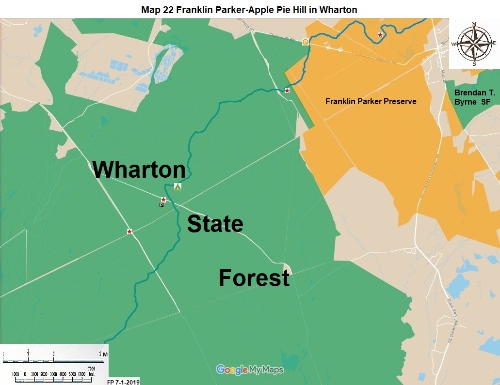
The next 8 miles of the hike will be on Franklin Parker Preserve. The New Jersey Conservation Foundation rerouted seven miles of this trail in 2012 to place the whole Batona Trail on protected open space. At 1.4 miles note view. At 3.6 miles pass CR 563. There is roadside parking here. |
|
3.6 |
Continue hiking south west. At 5.0 miles note the view. At 7.0 miles pass CR 532. There is roadside parking here. |
|
7.0 |
Continue hiking south 1.1 miles to Apple Pie Hill. This is the best view along the Batona Trail. The hill is 205 feet above sea level. The fire tower at the top of the hill is usually locked from above when no spotter is present. Nevertheless, many people climb up the stairs to get a better view of the surrounding Pinelands. There is an obscure dirt road from CR 532 to Apple Pie Hill. You are now in Wharton State Forest. This is the largest open space area in the State of New Jersey. For the next 14 miles of the Batona Trail you will be in this forest. |
|
8.1 |
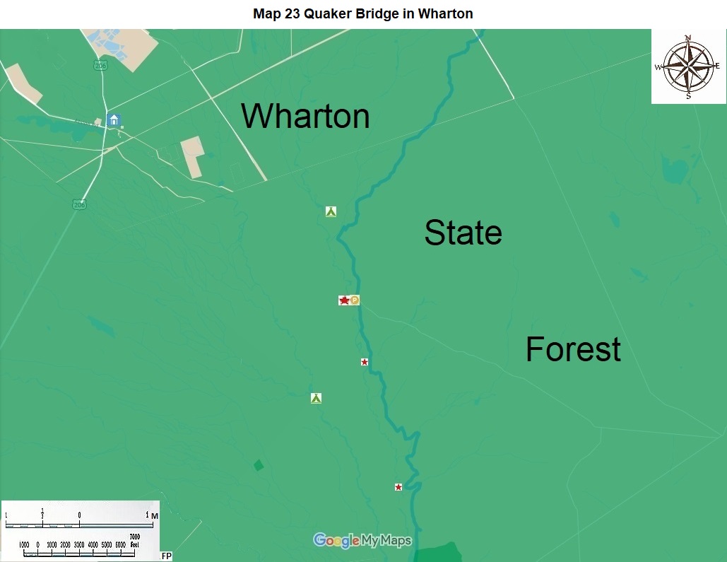
Hike another 3.6 miles south to the dirt road to Batona Camp. In another 0.4 miles come to dirt Carranza Road. Parking at the Carranza Monument is 0.1 miles west. This memorial is to the famous Mexican aviator who landed here in 1928. Parking is six miles east of US 206 on paved Carranza Road. |
|
12.1 |
Hike south at 12.4 miles pass the unused Central Railroad of New Jersey. At 13.0 miles pass the dirt road to the former community of High Crossing. It is now a ghost town. At that point you are 66 feet above sea level. |
|
18.2 |
From Quaker Bridge hike south for 4.2 miles to your exit from the Batona Trail. There are numerous good views of the Batona River along here. Look for beaver and otter in the water and the pine barrens tree frog, the rare loggerhead shrike, and the common pine warbler in the trees. |
|
22.4 |
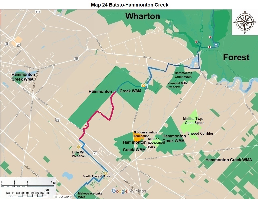
When you see a large wooden sign on your left and Carsonite posts marked white on your right you have reached a point two miles from the nearest parking at the Wharton State Forest Visitor Center. |
|
|
Turn right here and hike along Batsto Lake. First follow the white Carsonite posts 0.9 miles, to the blue Carsonite posts for another 0.5 miles, then the red Carsonite posts 0.2 miles to the parking lot for the visitor center. These two miles are part of the Southern Pinelands Trail and the State Long Trail. The hike along the lake is a truly great conclusion to this hike. |
The NJ State Long Trail (NJSLT) is a 383-mile long hiking trail and greenway that will extend from the northern end of the state (High Point, the highest point in New Jersey), to the southern end (Cape May Point, at sea level).
For a printer-friendly version of this page, click here.