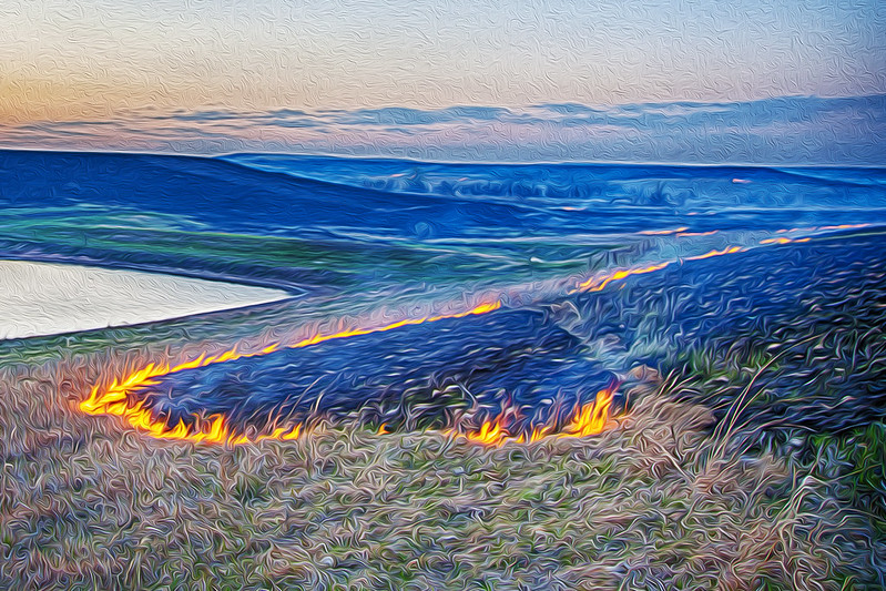
Photo by Patrick Emerson on Flickr, CC BY-ND 2.0
BY CRAIG VOLLAND, Chapter Agriculture Chair
Ranchers in the Flint Hills burn their pastures because it encourages regrowth of nutritious grass that adds weight to their cattle. However, based on questionable research from the 1970’s, they usually perform these burns in a narrow window of time from the last week of March through the third week of April every year. This often creates thick plumes of smoke that can imperil the health of people living in eastern Kansas and in surrounding states. The Sierra Club is assisting Colorado State University researchers who have distributed portable fine-particle monitors to individuals throughout the Flint Hills to identify concentrations of pollutants near the burning activity.
Ranchers in Kansas and northern Oklahoma burned 2.1 million acres of grasslands during the annual, spring burn season of 2022. This was slightly less than the 2.15 million acre annual average since the year 2000. This resulted in one exceedance (74 ppb) of the ozone National Ambient Air Quality Standard (NAAQS) of 70 ppb in Wichita on March 28 and one near-miss of the 35 ug/M3 fine particle NAAQS also near Wichita. That reading was 35.3 ug/M3 on April 19 resulting from heavy burning the previous day east of the city. However, EPA protocol allows this value to be rounded down to 35 ug/M3. A few ozone exceedances in early March in Oklahoma along the Kansas state line were probably not attributable to the Flint Hills activities.
Typically, seasonal burns of about 2 million acres result in 2 or 3 exceedances, but in some years, 2.8 to 3.5 million acres have been burned resulting in as many as 12 NAAQS exceedances. A review of NOAA's smoke and fire maps indicates the burns were more spread-out this year. We hope that trend will continue. Some researchers have called for moving the burning to the end of the summer or in early fall. Others are encouraging ranchers to do "patch burns" where they burn only part of their pastures over a three-year period.
However, it is difficult to reach any specific conclusions about this year because federally approved urban monitors are not well situated, or in sufficient number, to give us a good understanding of the public health impacts of smoke in more rural areas. For example, there are no continuous fine particle monitors between Topeka and the Cedar Bluff Reservoir background monitor near Hays, a distance of 220 miles. This means smoke goes unmeasured until the plume reaches Lincoln or Omaha, Nebraska when the wind blows from the south.
