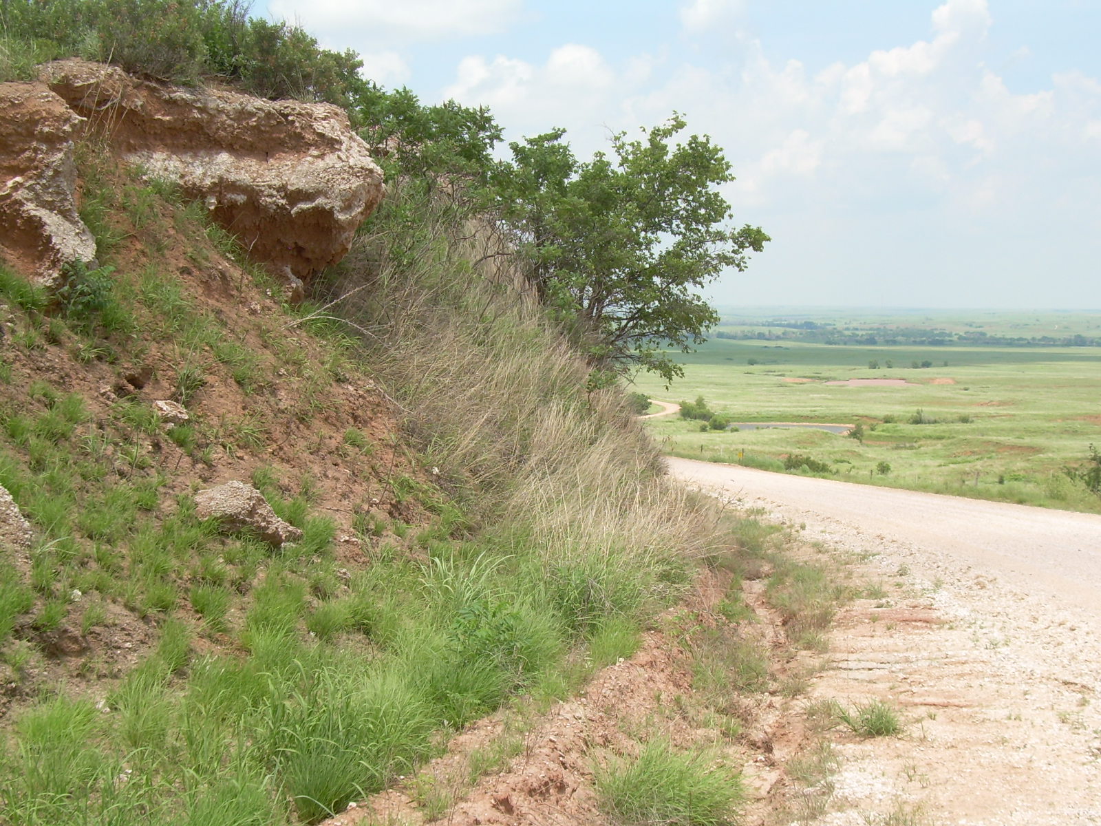
 Photo by Elaine Giessel, Road Cut in the Gyp Hills
BY ELAINE GIESSEL, Kansas Chapter Chair
The Gypsum Hills (Gyp Hills, Red Hills, or Medicine Hills) near the Oklahoma border of south-central Kansas comprise a unique landscape of rolling hills, mesas, canyons and buttes. There is a Gypsum Hills Scenic Byway and a Gyp Hills Scenic Drive, both of which start at Medicine Lodge.
The rocks in the area were formed from deposits created when a large, shallow bay covered the area about 250 million years ago. As sea levels rose and fell, sands, clay, salt and gypsum were deposited in layers. Iron oxide stains the sandstones and shales red, giving rise to the name Red Hills. White gypsum is found in layers within the red beds, sometimes in the form of large, clear selenite crystals.
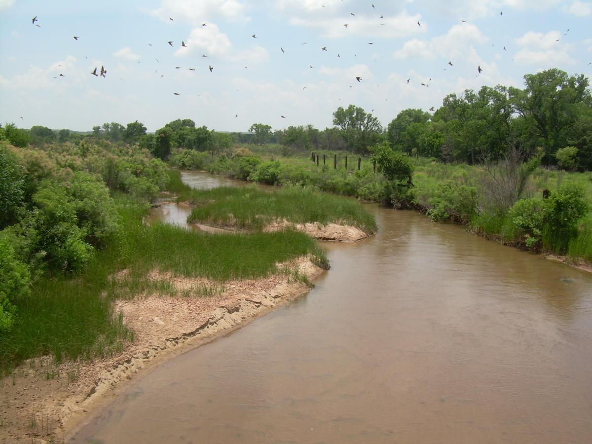
Evaporites, like rock salt and gypsum, are easily dissolved in water, so erosion creates sinkholes and caves, homes for bat colonies. Before flowing into Oklahoma, the Salt Fork of the Arkansas River provides water for bats and birds. Bison herds and prairie dog colonies live on some of the ranches in the area.
Photo by Elaine Giessel, Salt Fork of the Ark
Gypsum Hills, also known as Red Hills, Gyp Hills, and Medicine Hills
The Gypsum Hills Scenic Byway | Kansas State History (travelks.com)